On June 5, 2020, I decided to take a solo road trip to 5 state High Peaks: Illinois, Iowa, Wisconsin, Michigan, and Minnesota…yes, during Covid-19 and traveling alone as a girl! GASP! This was not my first solo road trip and it will not be the last.
Doing all 50 state high peaks was something that I decided to do once I had already realized I did 2 of them. What’s 48 more!? New Hampshire’s Mount Washington and Maine’s Mount Katahdin was something I did because I love climbing mountains. I discovered that love while living in Alaska. My next 2 were Ohio’s and Indiana’s high peaks….which were the easiest to date and not so “high”. So, I was excited to get 5 more “easy” ones checked off and have some fun times exploring some of the most remote spots I’ve ever seen (other than living in Alaska).
So, if you want to hear the details about my trip and see a bunch of photos, keep reading.
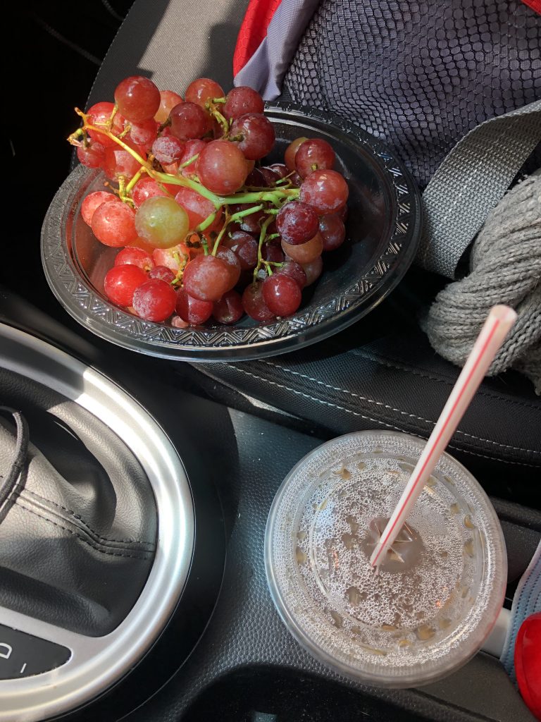
RED’s log day 1, June 5th: I left my house around Noon. It would have been earlier, but my cat (that was getting some outside time when I was packing up my car) sensed that something was up and didn’t want to come back inside when I called him. I had to use Tuna to trick him. Once on the road, I was good to go with a bunch of grapes and a mini cooler full of things next to me even though I didn’t eat breakfast. “Breakfast” stop was at Starbucks about 2 hours in. There I looked up a place to camp that was a half hour away from Illinois High Peak “Charles Mound”. I called and talked to the lady that runs, Backyard Campground in Gratiot, WI (on the border of IL and WI). I asked her when check-out was and she said, “Dusk”.
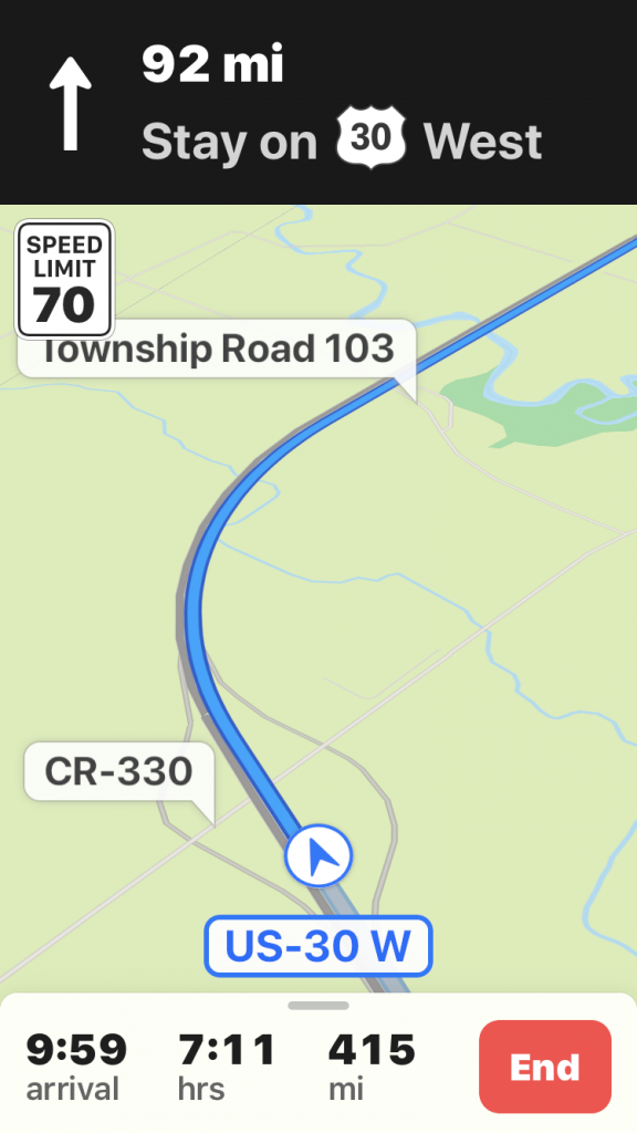
“What?”
“Yeah, we don’t have an early morning check-out. You can stay and hang out on the farm all day and just check-out by dusk”.
Well, as an Insomniac and a night owl this was music to my ears! Where has this place been all of my life!? I hate being on vacation and have to rush to try to pack up immediately and check-out by 10 or 11AM. I told her that I was on the road and I wouldn’t be getting in until about 11. She said that that was fine and to just call her when I’m rolling in, so that someone could take me to my spot. Perfection. I’m excited at this point. That was far too easy and she was super nice.
Many, many hours later after about 10 hours of being on the road jamming to Spotify and badly singing, I stop at a gas station to fill up, clean the massive bug deaths off of my window, so I can see again, and to pee (the holy trip trinity). I ask the lady if there is any place open still to eat since I hadn’t eaten anything, but snacks since Starbucks. She tells me that the only place that would be open is a place down the street called, Chubz Pub and Grubs in the small town of 1,330 people in Warren, IL. At this point, I was craving an awesome hot meal, but what I got was not-so-great-nachos. Some kitchen essentials were broken and being a lifelong Vegetarian, my only option was nachos minus the meat. I should have gotten food at the gas station, but I already ordered a beer, so I settled into a picnic table out back alone, in the dark to wait to my “dinner” at 10:30PM.
While eating my nachos and chugging my beer, doubt about camping up the road at The Backyard Campground started creeping into my thoughts. Should I have found a cheap motel? Are their any around here even? well, defiantly not at this hour. I don’t know how my hammock-inside-my-car-set-up is going to be since I’ve never actually tested it overnight before. Hmmm, I probably should have done that. Should I just sleep in my car in a rest stop? Wait, I haven’t seen a rest stop in a very long time. Crap! Ok, Ok….I can do this!
As I’m pulling into the campground, I call the nice lady and tell her I’m here. I sit in the intense darkness and wait, as instructed, for someone to come in a truck to have me follow them to the spot. Did I wake them up? I feel bad. She did tell me to call when I arrived. Is this actually someone’s backyard? I can’t see anything! Dude shows up and I follow him on dirt roads to my spot. “Here” I ask because I truly can’t see anything. Then I ask about payment and where the showers are. He says that I shouldn’t worry about paying until I wake up and showers are in the barn. All 2 of them.
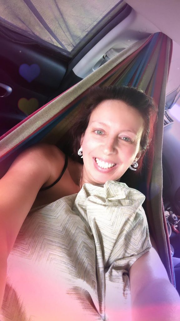
I quickly start with my car camp set-up process that I’d planned out, but never actually tested. Here we go! The screens that allows me to see out, but people can’t see in go on first. Then I set-up my hammock. That went well. Then, I hooked up my fan/light that I charged the entire drive over. I put all my sleep meds, phone, phone charger, sleep mask (if I want it), and some snacks with reaching distance on the seat under the hammock. I get in. I have my blanket and pillows positioned perfectly. Ahhh Damn, this is nice.
Of course, I had to pee the moment I got comfy in my hammock. SIGH! I did a quick pee outside of my car and then I was back in bed Haha! I was protected by darkness. It’s all good.
Once settled, I finally appreciated the darkness and quiet. All I heard is bugs. I didn’t need ear plugs. I didn’t need a sleep mask. The only light that was around was from the full moon that was eclipsed while driving. I totally forgot about that. I didn’t need white noise sounds on my phone. I completely zenned out until the meds kicked in and I fell asleep while imagining what my surroundings looked like and was excited to see the area in the daylight.
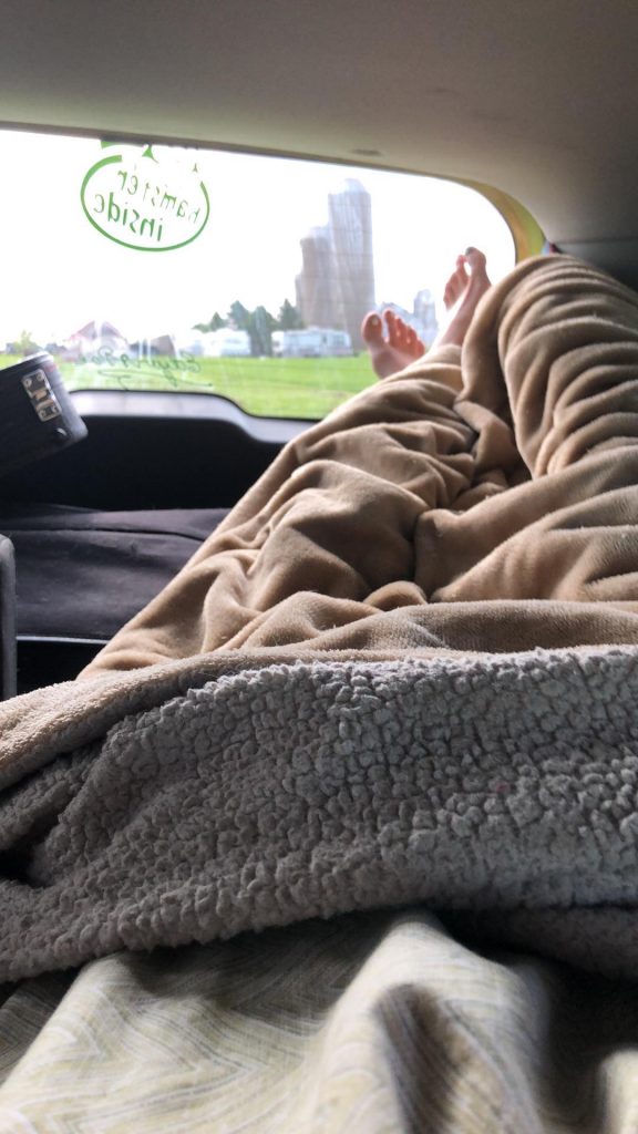
RED’s log day 2, June 6th: Woke up at 8:30am. for those who know me, that is a rare occurrence. It’s not rare for me to wake up early, but to wake up early and have gotten enough sleep, is unheard of. I normally would be struggling to go back to sleep. The campsite was so quiet even though there’s a ton of RVs and tents all around me. They only have Porta potty’s spread throughout and two showers in the barn for all these people. Yet, it’s wonderful.
All I woke up to was the sound of nature instead of dogs barking, kids playing and people packing up or unpacking… so peaceful. That is what camping should be like!! Since I didn’t have to rush to get out by a certain time… I just swung in my hammock chilling, chatting with some friends and enjoying the relaxing moment.
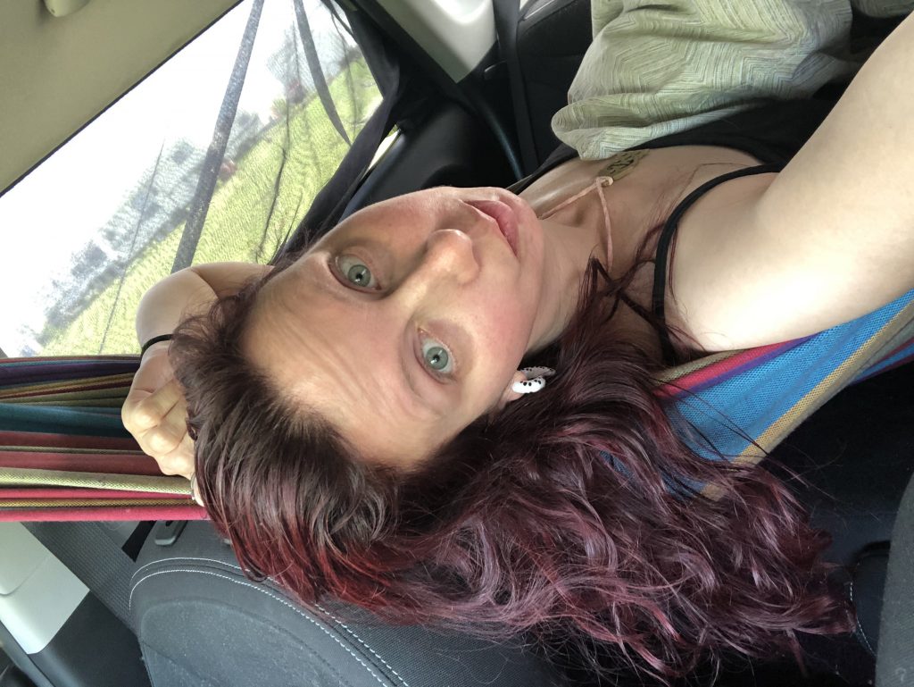
Overall, first night sleeping in a hammock, in my car, went really well. I think it is more comfortable than my own bed. I didn’t want to go home and was happy that I chose to stay at the campground. The only thing that was missing, in that moment, was my kitty.
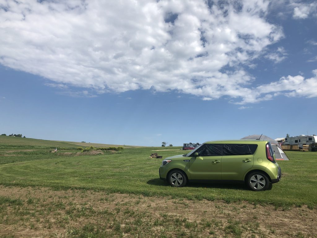
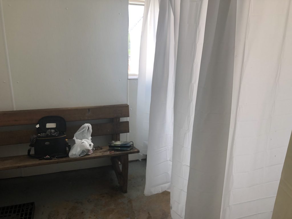
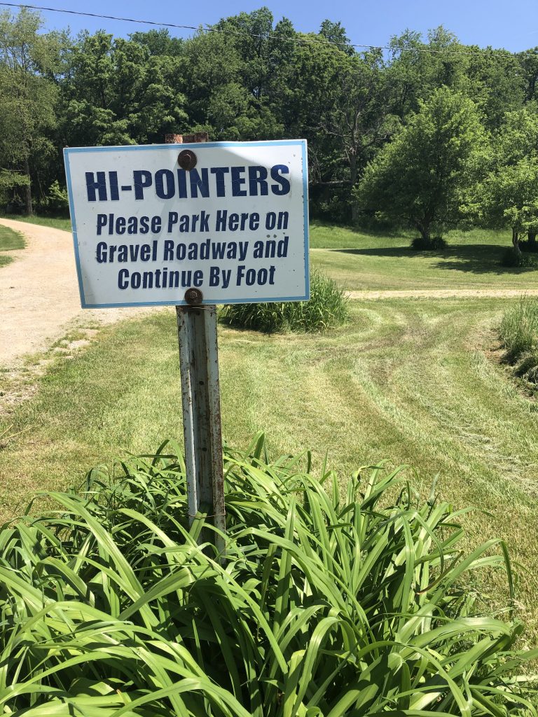
When I finally got moving, I made my way to the barn showers and was happy I didn’t have to wait in a line. I ate a banana in my car and headed right to Illinois high point, Charles Mound. It was a short walk up a hill to the spot. Since this is on private property, you can only visit this place on the first weekend of June, July, August, and September. I planned my entire trip around that first weekend in June.
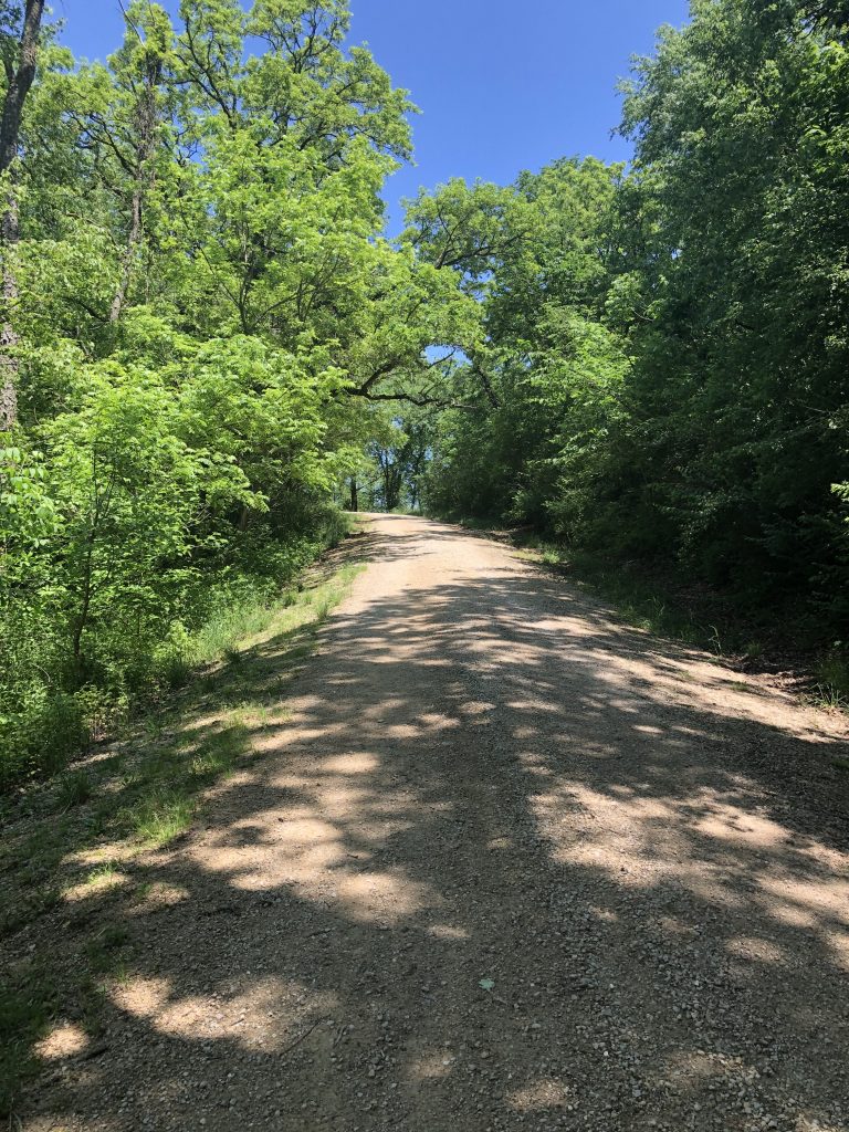
Once at the highest peak in Illinois, I all of a sudden made friends with the biting black fly population. Oh my god, why did I wear a dress?!
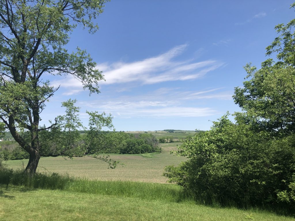
Totally didn’t imagine the bugs being that bad since it was early June. I guess because there were a few miles of dirt roads to this spot, that the remote wilderness allowed them flourish. I got destroyed! I’d see them land on them, flick them off, repeat. It was hard to enjoy the pretty view when you are under constant attack.
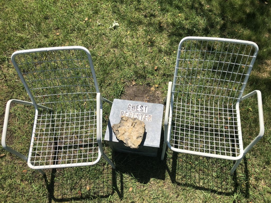
But, I had to sit in the chairs and enjoy the view for a few moments while I signed the guestbook in a container under a rock. While I was doing that, 2 older women made their way up there. They thought I was painting the view.
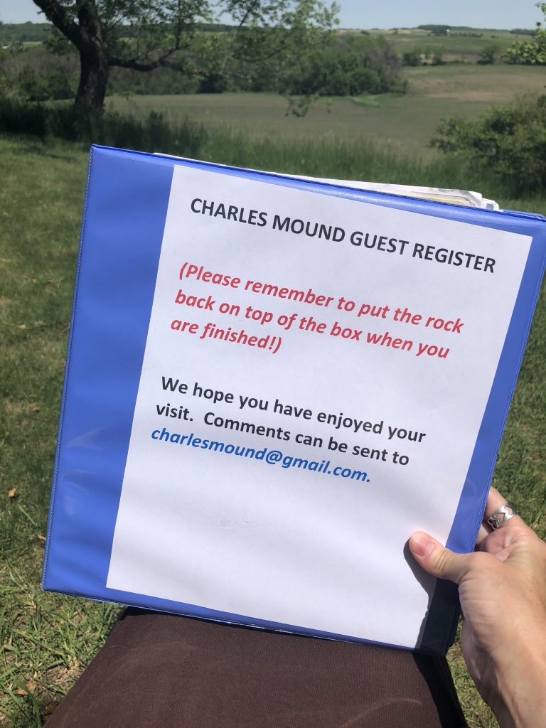
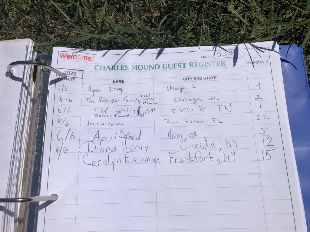
Bahahahahaha As nice and zen as that’s sounds, I wasn’t about to spend the time there that it would take to paint the scene. I was ready to leave. I had them help me take a photo in front of the sign and then I flew down the hill leaving the flies in my dust.
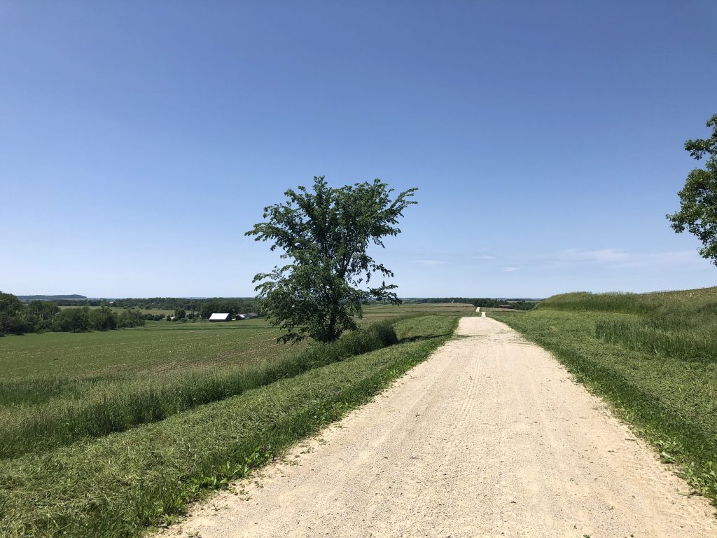
I thought that was the most remote place that I’ve ever been, but HA…keep reading. I had no idea things were about to get much more remote. I’ve stayed the night in a town of 22 people in New England on a road trip before, but that town was surrounded by other larger towns. Charles Mound this was just miles and miles and miles and miles and miles of nothing but farm land and very few people and then miles of dirt roads that leads to the high peak. Since the spot is only open a few weekends a year, there was a steady stream of people there, but still felt very isolated. When doing my research on the high peaks, I had read that this area was very remote and I had an idea in my head of what that would look like. My idea was a bit off. Haha! I had no idea my idea of “remote” wouldn’t even be close to the level of remoteness that is Charles Mound.
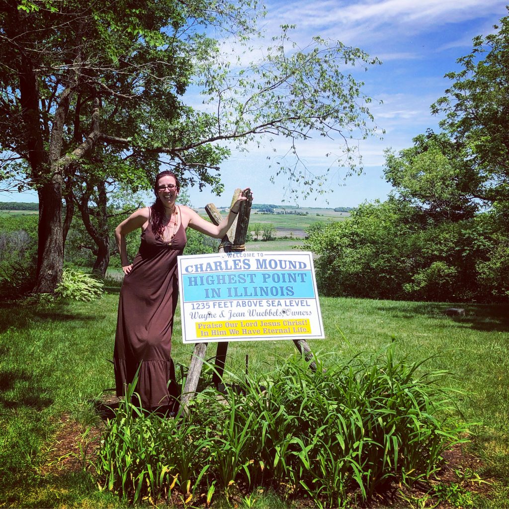
High Point #5 Check.
Back on the road, I headed towards the high peak of Iowa. I hit the cute town of Dubuque, Iowa about 40 minutes later. It’s a cute town with old buildings, lots of murals and towers!
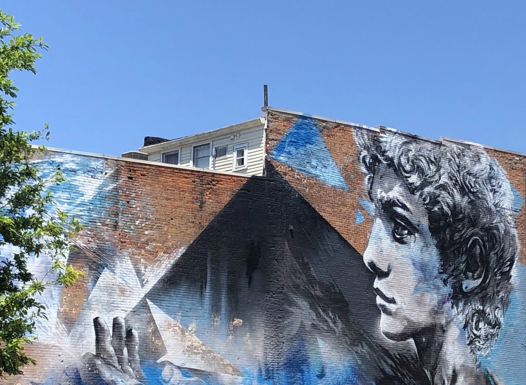
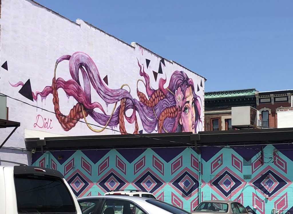
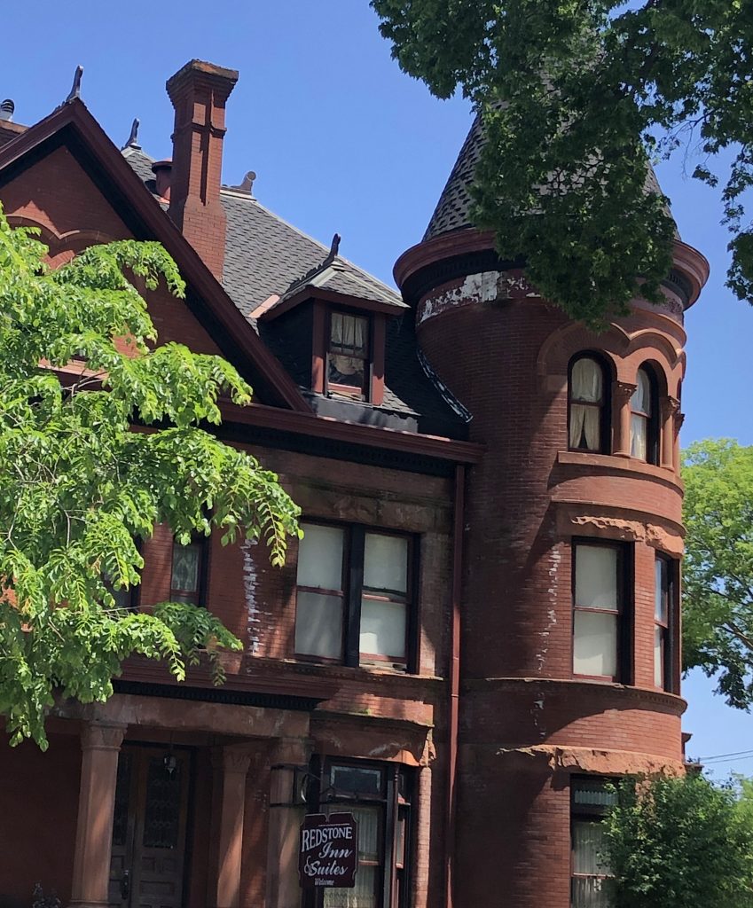
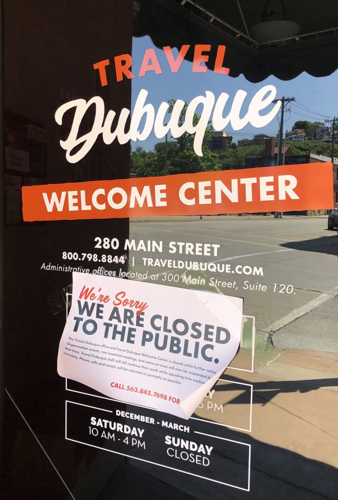
I took a few photos and looked around, a bit, but I kind of wanted to see Iowa’s Welcome Center. It was closed due to Covid-19. That would end of being one of the only things that I wanted to check out, that the virus closed on this trip. So, I got back on the road heading West.
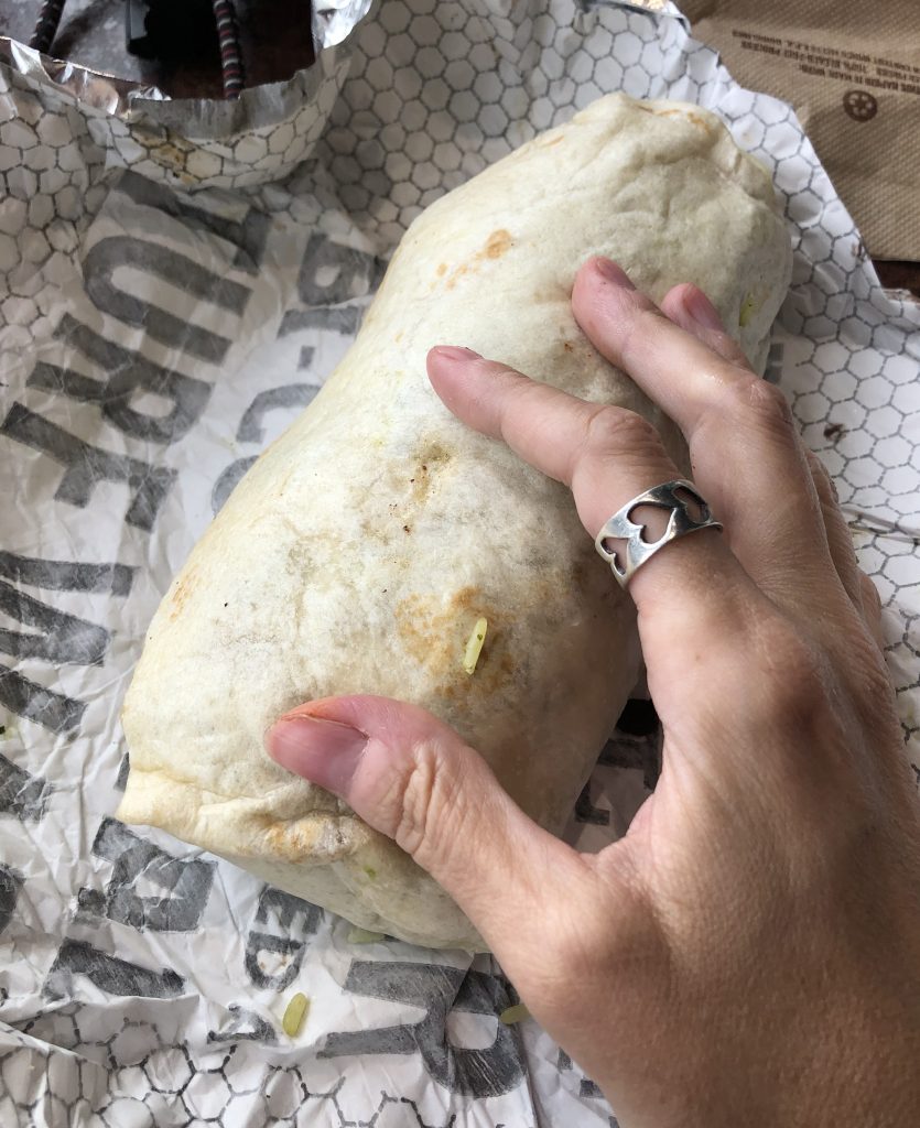
Three hours of driving and car snacking later, I stopped at Pancheros Mexican Grill in Fort Dodge, IA. for some real food. While eating, I looked for places to camp outside of the high peak and couldn’t find anything, at least not on my RoadTripper’s app. At this point, I was not too concerned. I was still 2 hours and 46 minutes from Hawkeye Point, Iowa’s high peak, so I ate the biggest burrito ever and got back on the road.
My goal was to make it to Iowa’s high peak before sunset! I passed so many large, pretty silhouetted wind mills and a tiny, old cemetery in the middle of NO WHERE.
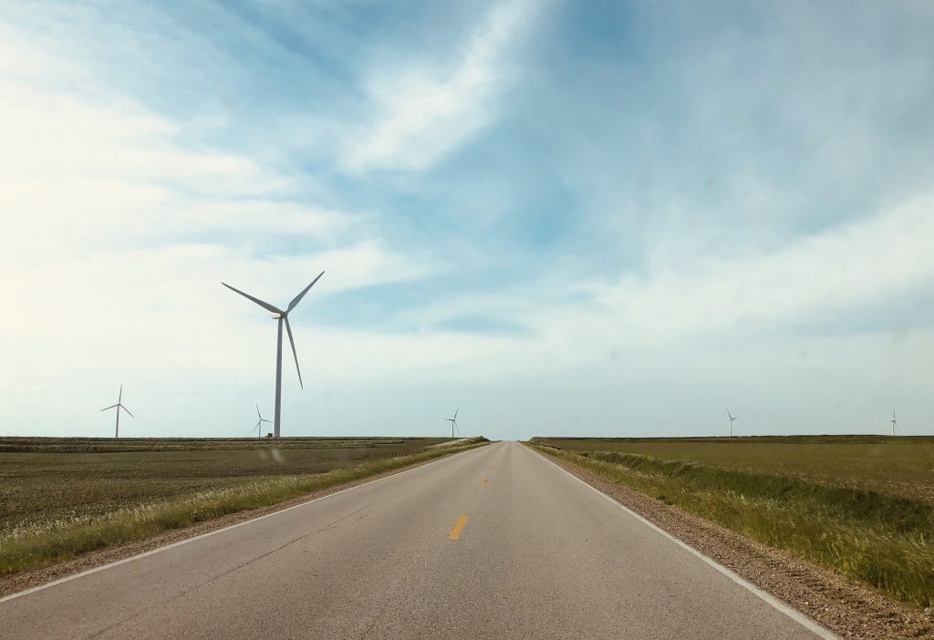
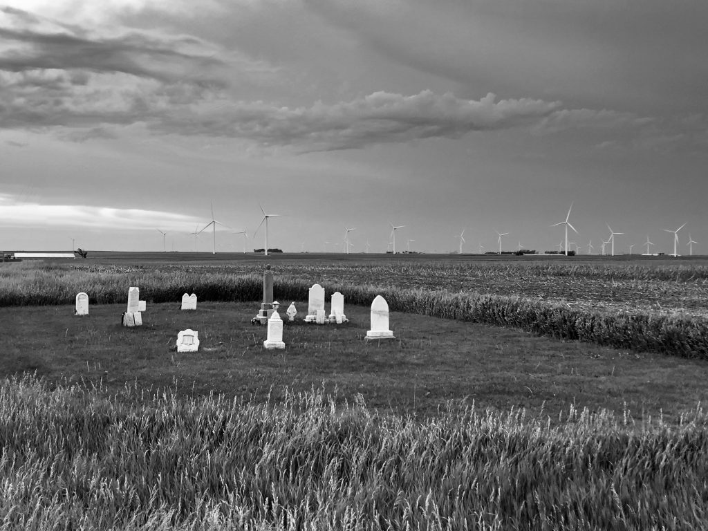
I got out to take some quick photos then drove like a crazy person racing against the sun. I started to get a little leery and then that increased into almost panic. Here I was driving so far away from civilization and the sun is setting and I have no idea where I was sleeping! Why did I have to stop and drive around that town, why did I take so long eating?!
BUT, I made it!
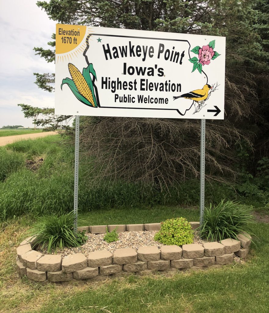
I still didn’t know where I was sleeping, but I only had about 20 minutes to enjoy the high point, so i enjoyed it! The sun was most defiantly starting to set, but I had enough time to look at the walk though open air museum in a big red barn, an antique farm machinery display, the look out tower, the slew of signs pointing to a ton of other high points and their mileage, a sign-in station covered in license plates from different states and a cardboard cutout of American Gothic that you could stick your faces in for photos and a pretty mosaic circle for you to stand at the actual high point and take a selfie with a self-timer stand. There was lots to see and do and it was very well manicured with a view of nothing as far as the eye can see…except for the owners house nearby.
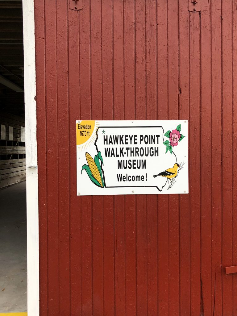
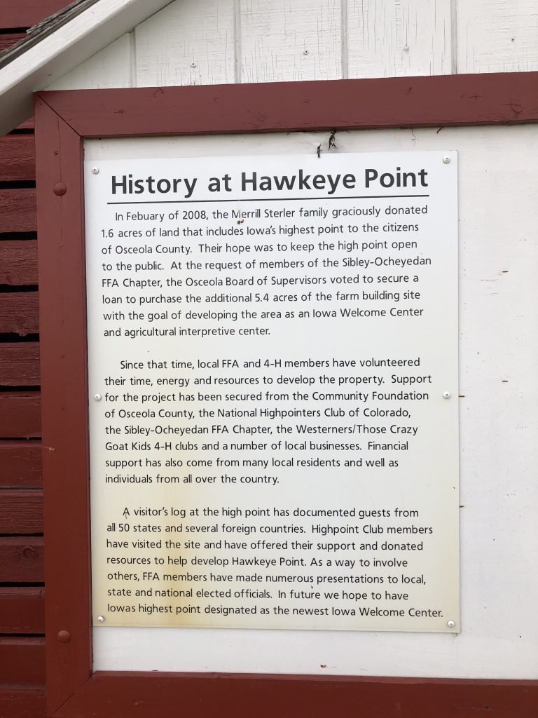
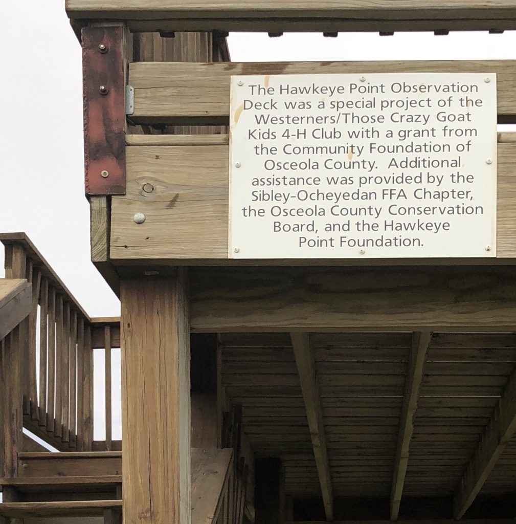
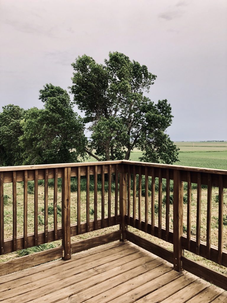
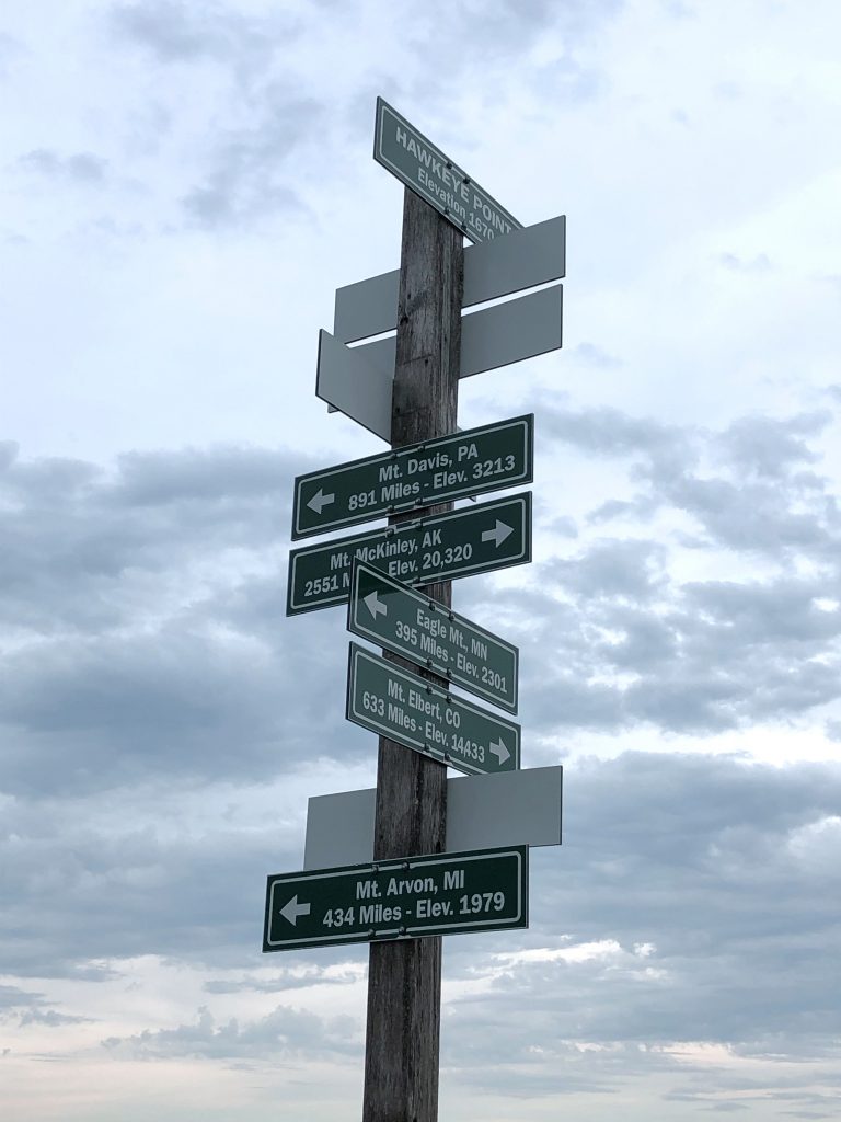
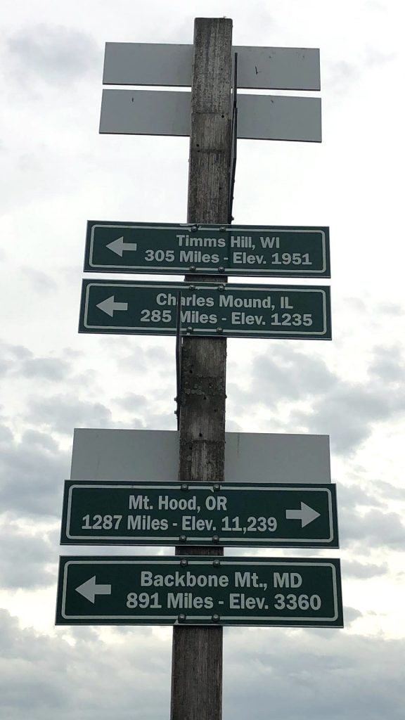
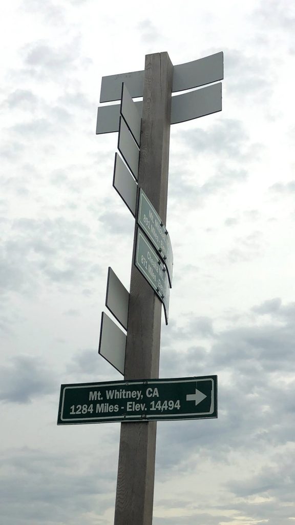
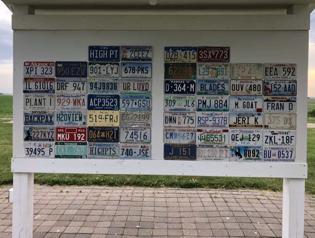
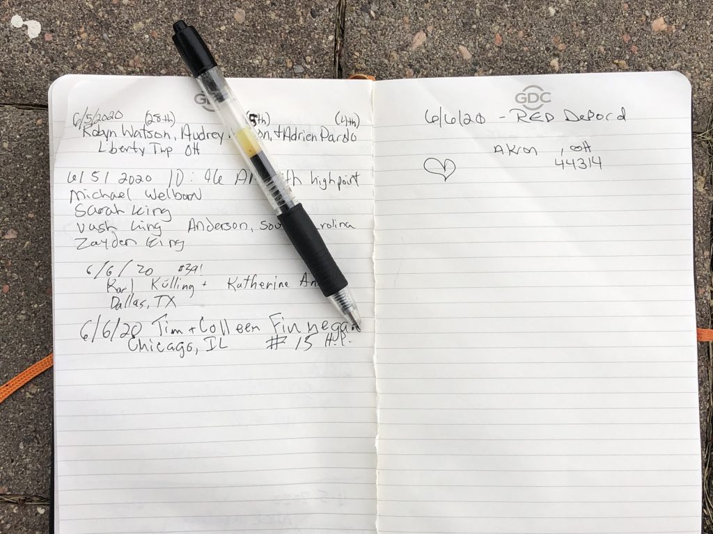
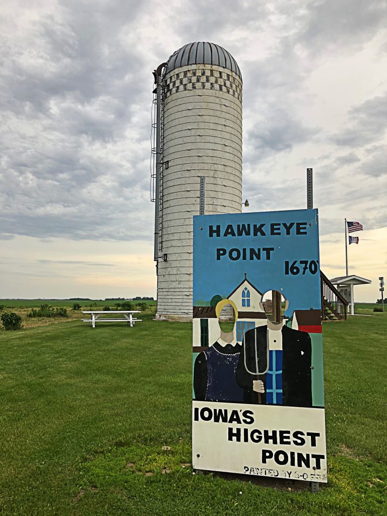
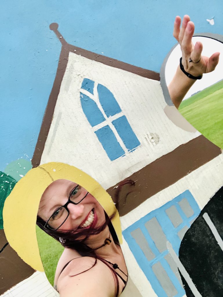
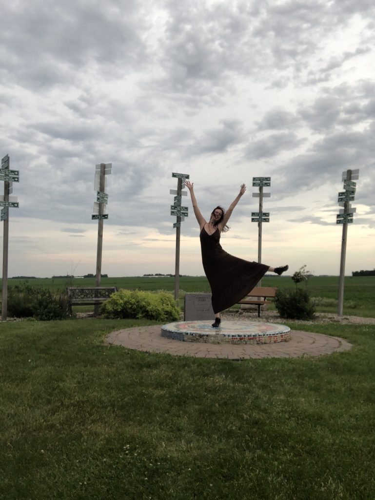
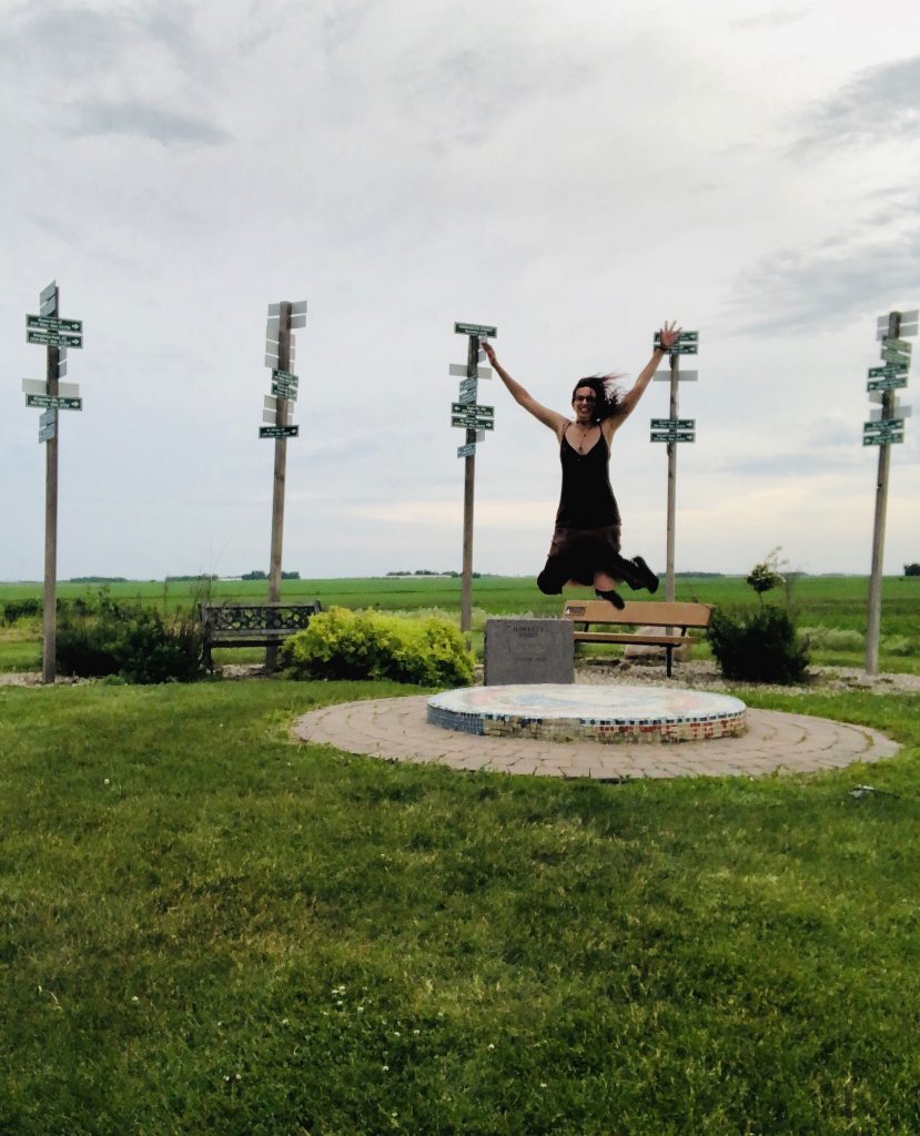
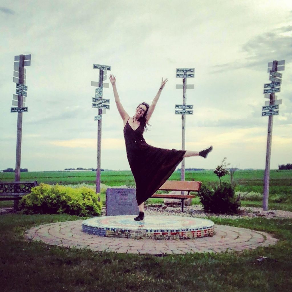
2 in one day!

It was extremely windy! I didn’t have biting flies or much in the way of any bugs bothering me there, but I think the tornado-like winds that I experienced throughout all of Iowa kept them off of me. I was thankful for the break from bugs! Thanks Iowa!
I played around the area a bit and never saw another soul. I ran around from place to place and completely enjoyed the freedom to explore it as I wanted. I left Hawkeye Point just before complete sunset and headed towards Timm’s Hill, the highest peak in Wisconsin.
I was ready to settle in somewhere, relax and be done driving for the day. Once, I got out off of the little country roads, I was happy to find a “real” highway because that meant rest stops. I finally found one around midnight; Minnesota Valley Rest Area. It had started raining and I was sleepy, so it appeared just in time! A crazy strong wind was still following me throughout this entire area.
RED’s log day 3, June 7th: I woke up at 7:30 AM GASP! I would have loved another hour of sleep that I wouldn’t get it because of my excitement to drive on! Also, I had to pee super bad and the long walk to the rest stop bathroom pretty much woke me up.

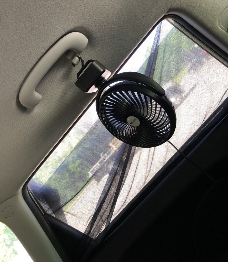
It took me a bit to get moving, but I finally made myself look presentable in the bathroom and took down my hammock, car fan and window screens to get moving. I had my fan set-up but didn’t actually use it much because the windows cracked a bit was enough to keep me very comfortable.
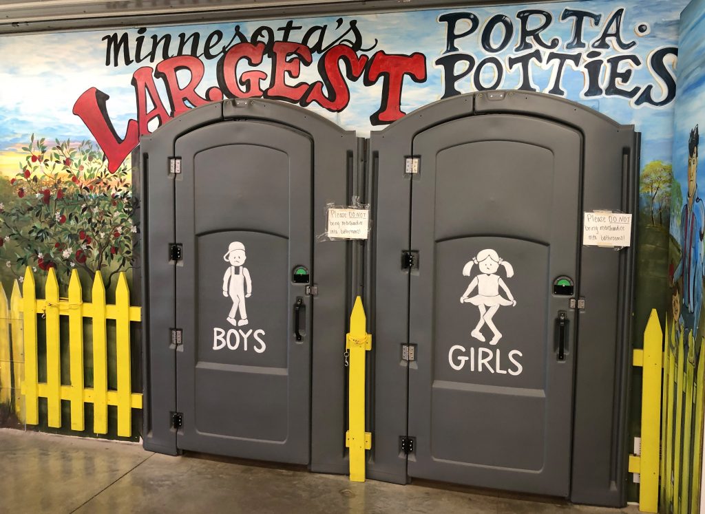
Two hours and 45 minutes into my drive, I came across a giant yellow flamboyant building that caught my eye. Minnesota’s Largest Candy Store. Although, I hadn’t had breakfast yet and I wasn’t feeling candy to start my day, I had to stop in here to check it out. I got lost in all the bright colors, murals, statues, replicas, and isles and isles of candy! But, they have so much more than just candy. It’s on Jim’s Apple Farm, so they have apples. But also, pumpkins, squash, gourds, chocolate, Zots, Pop Rocks, soda, pop, salsa, hot sauce, cheese, fresh baked daily pies, strudels, apple bread, apple crisps, puzzles and many other random things.
I saw Minnesota’s largest Porta pottys,
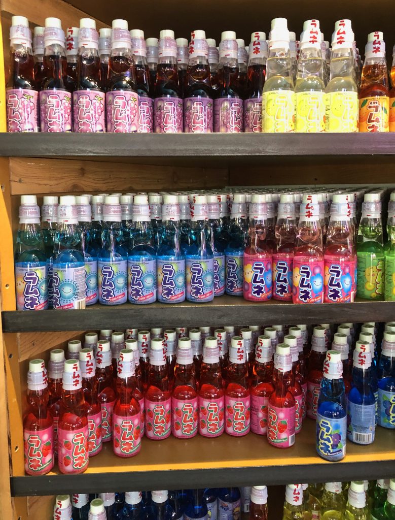
The worlds largest soda selections,
The worlds largest jigsaw,
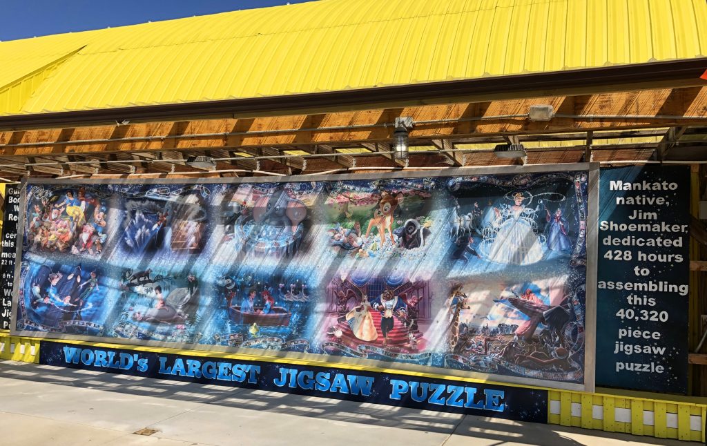
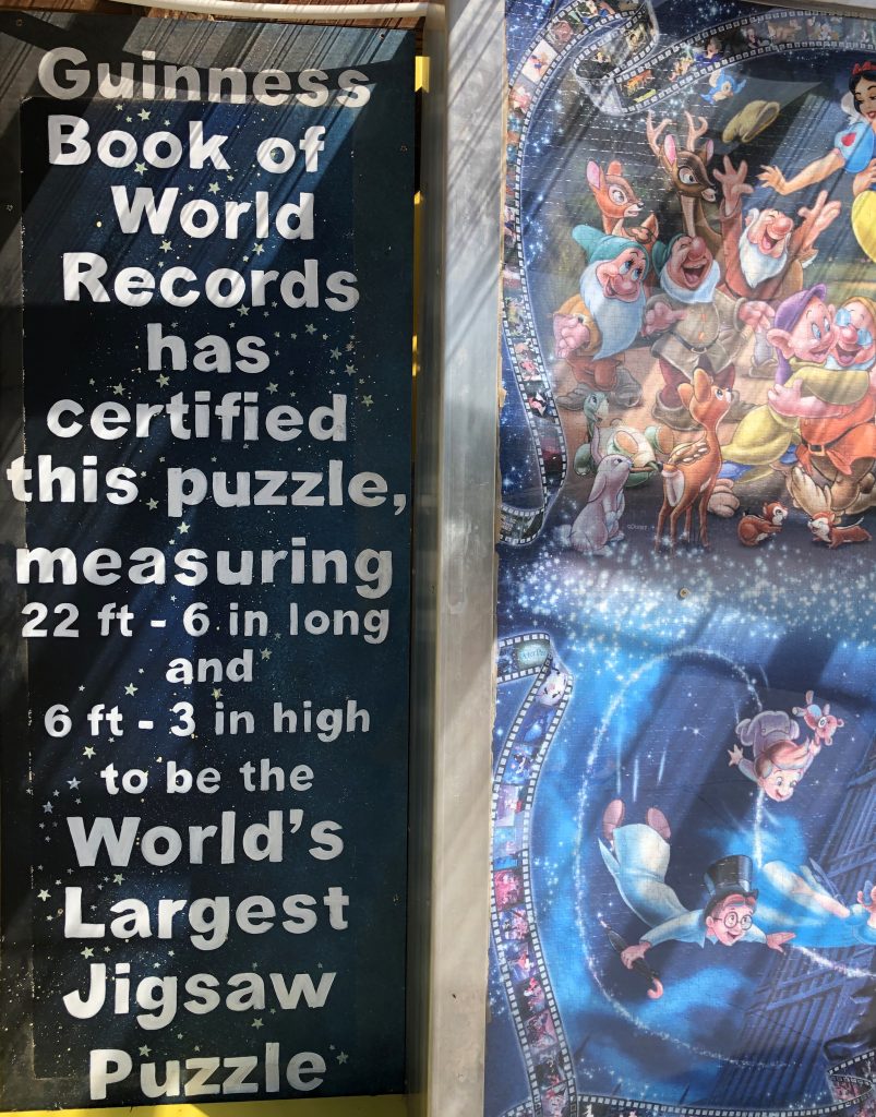
America’s biggest puzzle store,

and it was all inside Minnesota’s largest candy store!!! My trip can end here, I thought. Ha….No, I was on a mission to get to the last three state high peaks I had planned!
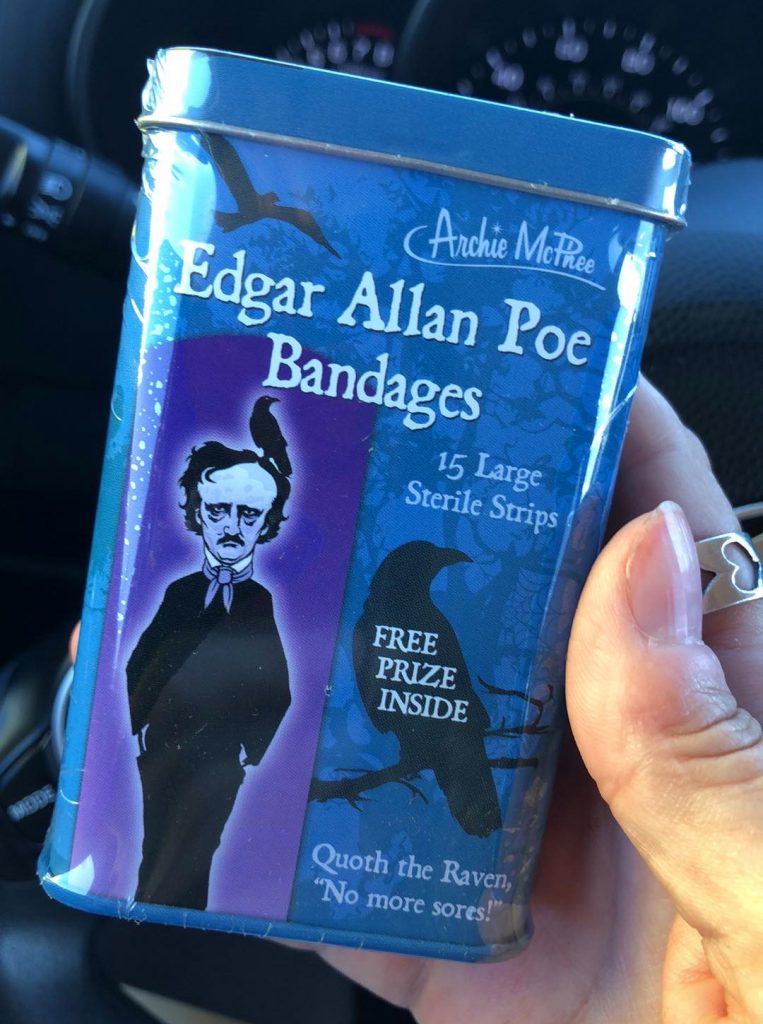
What did I walk out with?
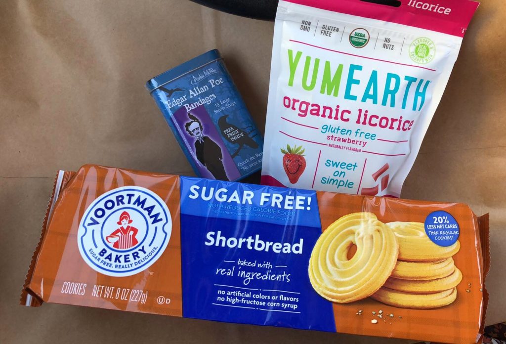
I had to buy these!
I had intended on only stopping very briefly, but I ended up staying an hour! I finally got back on the road around 11:15AM. By Noon, I found a Starbucks and got much needed “breakfast” and Chai in me. Ahhh I was happy to be full and back on the road.
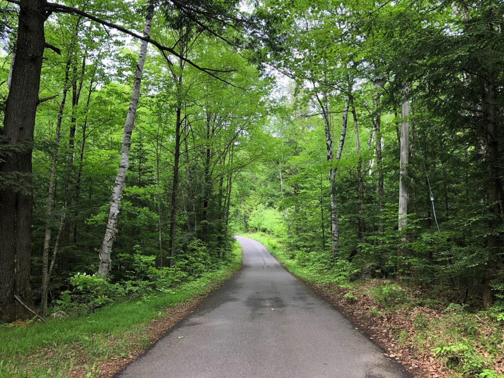
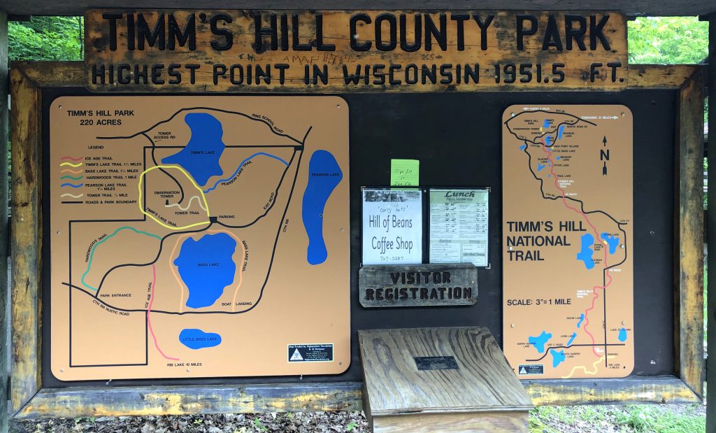
Shortly after 4, I made my way to the trailhead of Timm’s Hill. So, let me back up a bit, driving to the high point was a bit of an ordeal. I didn’t have cell service for a very long time which really worried me. I didn’t think I was gonna make it to there! 30 minutes before I reached Timm’s HIll, I lost total cell service. Long story short, I eventually made it. My somewhat photographic memory remembered many of the directions before I lost service and I saw a bit of the map on my phone to follow still. Then right before the point, there were signs! Talk about remote!! Holy shit… Miles of dirt roads that are mostly unmarked! Where am I and why did I do this to myself!?
Once I got up to the trailhead, I noticed a port-a-potty type of bathroom, which I needed, and a place to sign in at.

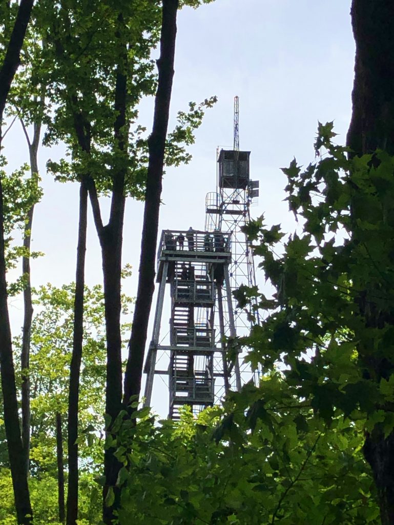
It’s a short hike into beautiful dense, very bug infested, woods to a tower at the high point. I got eaten alive by bugs. Even with bug spray on…They didn’t care. Once at the tower, the strong winds did not mix too well with an old, tall, wooden tower. It took a few times stopping and self-talking myself into continuing on up. But, I did it! It was swaying in the crazy wind and I thought I’d ![]() myself! I’m OK with heights usually, but when I can see all around me in a skinny ass tower with a bunch of teenagers and the wind swaying it….no. It was actually a really pretty view at the top and I was cool once I got up there.
myself! I’m OK with heights usually, but when I can see all around me in a skinny ass tower with a bunch of teenagers and the wind swaying it….no. It was actually a really pretty view at the top and I was cool once I got up there.
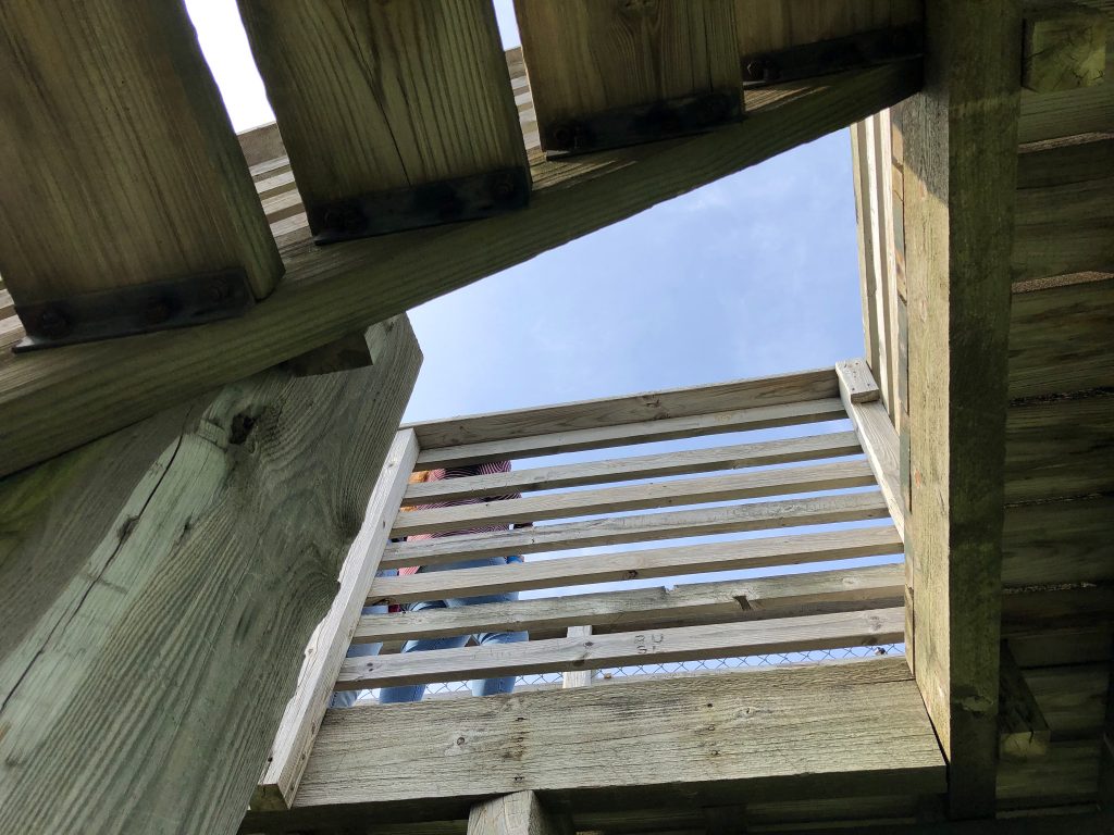
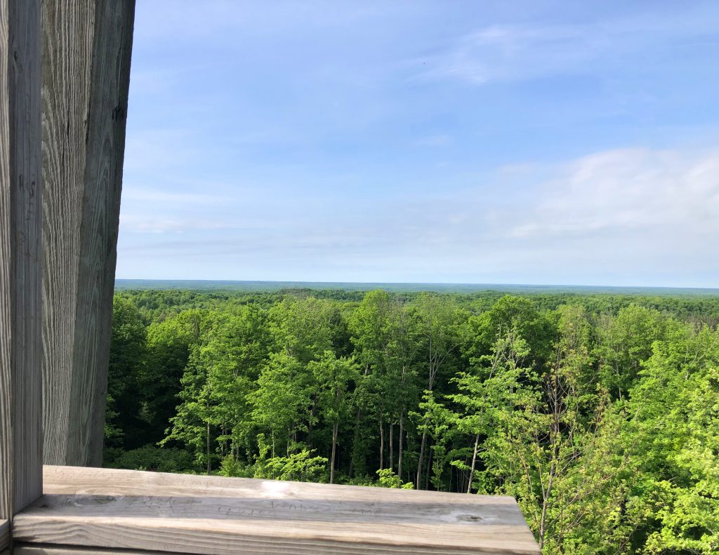
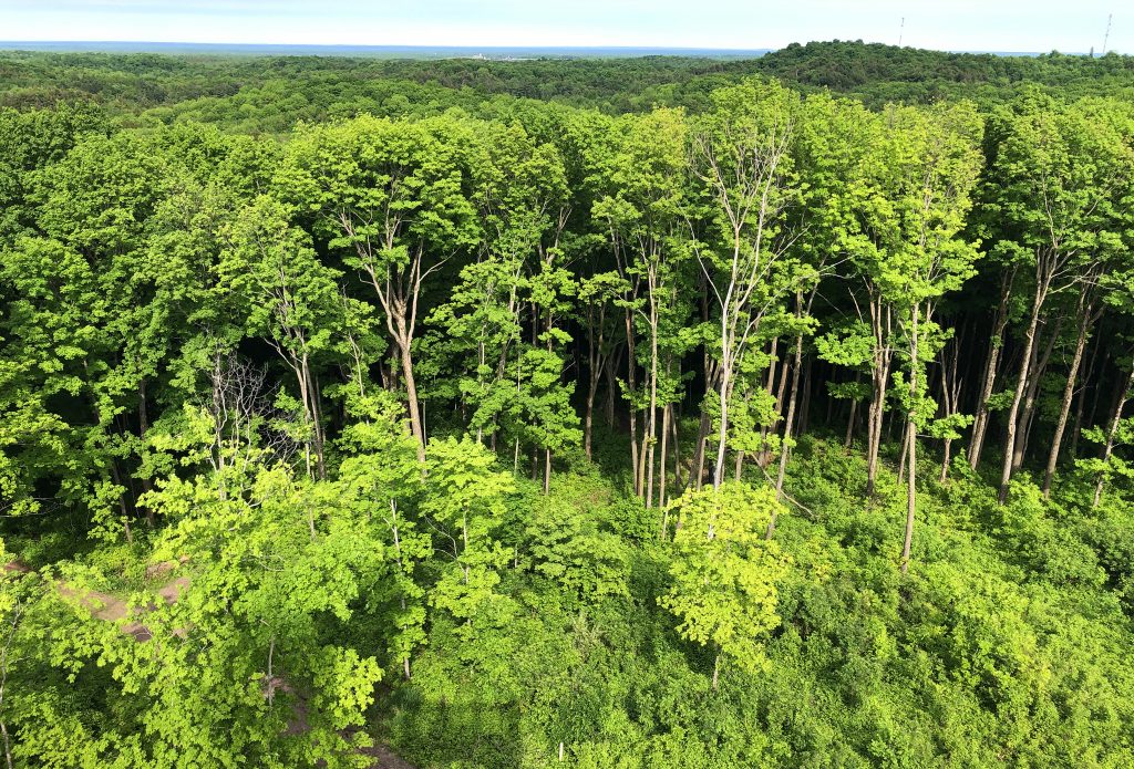
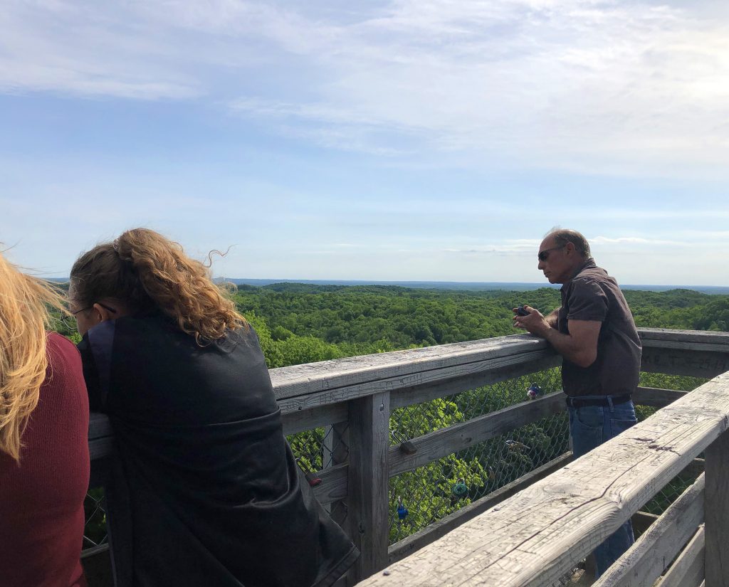
So, I had a small pocket of cell service at the top of the tower. It was just enough to send a photo to my friends. But, once I came back down, I went back to having no service.
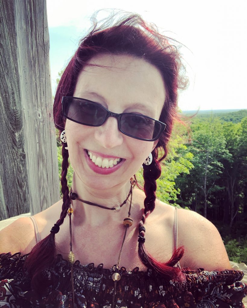
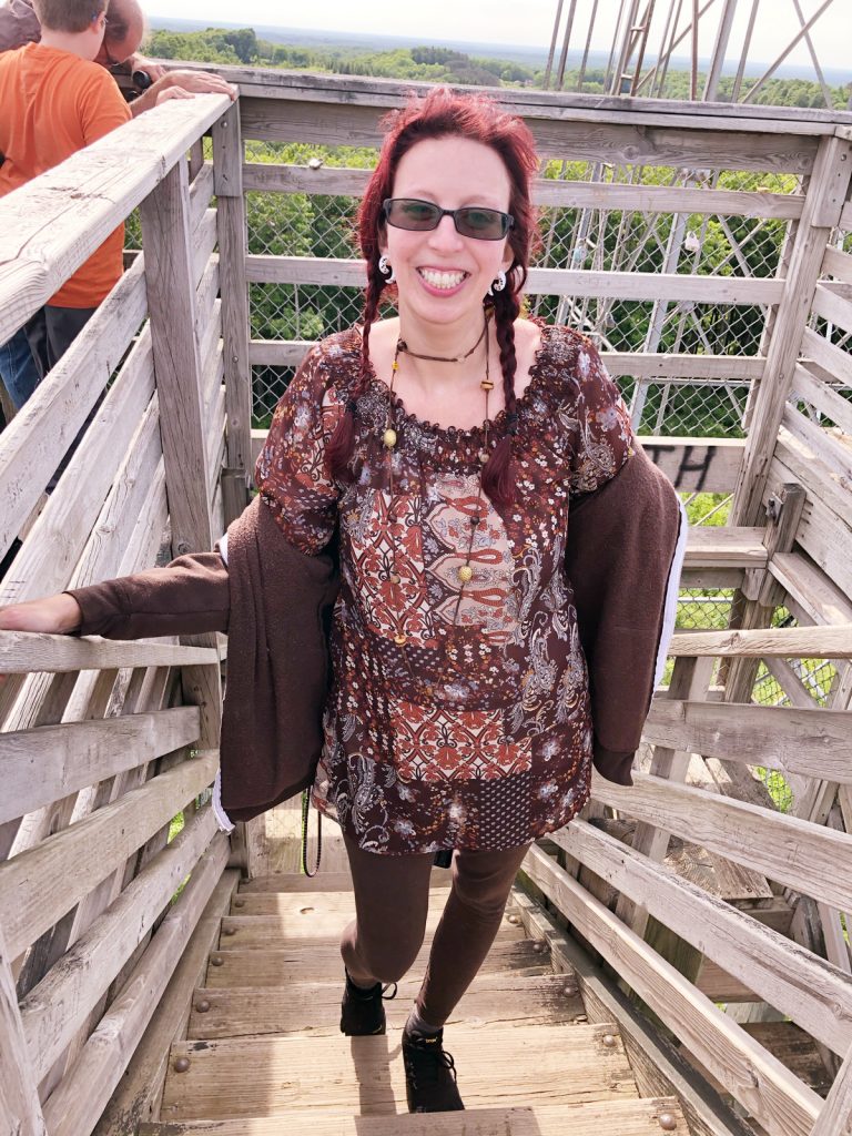
I signed another sign-in book at the base of the tower. It was super filled with signatures, but I managed to find a tiny spot on the front. It was in a mailbox next to the tower.
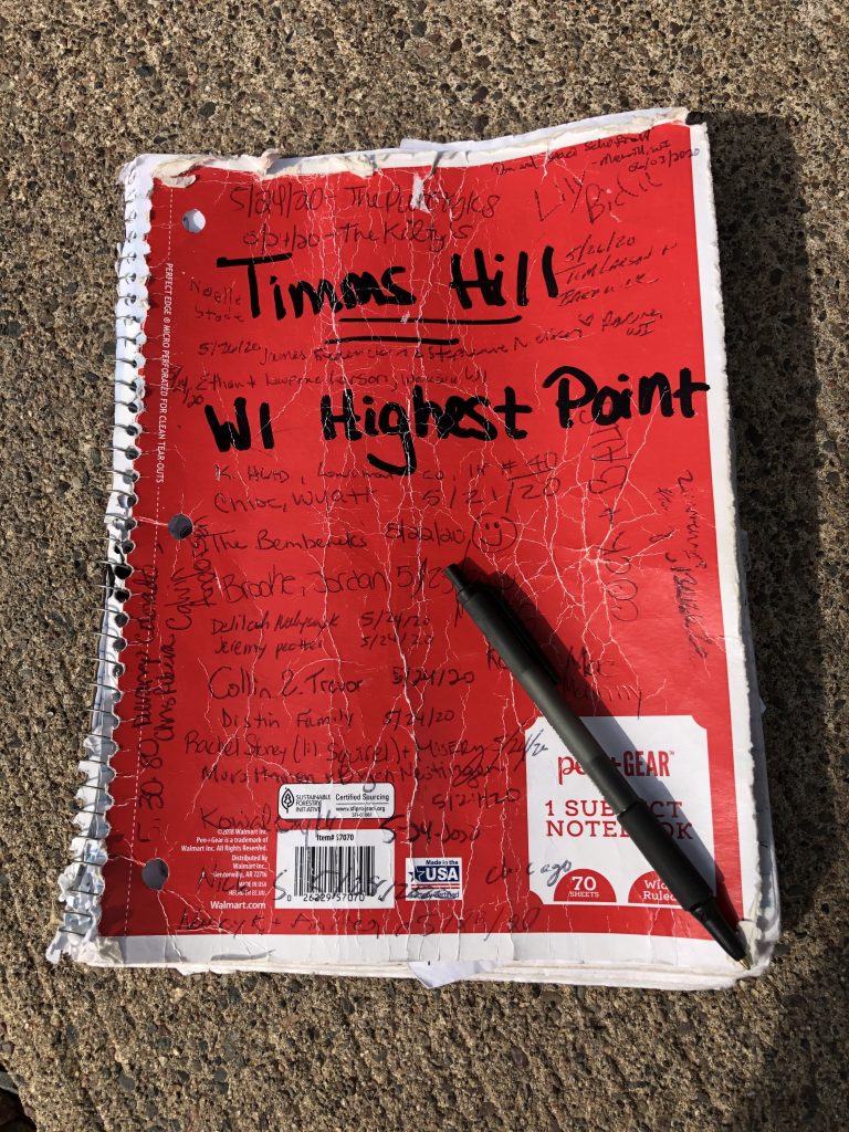
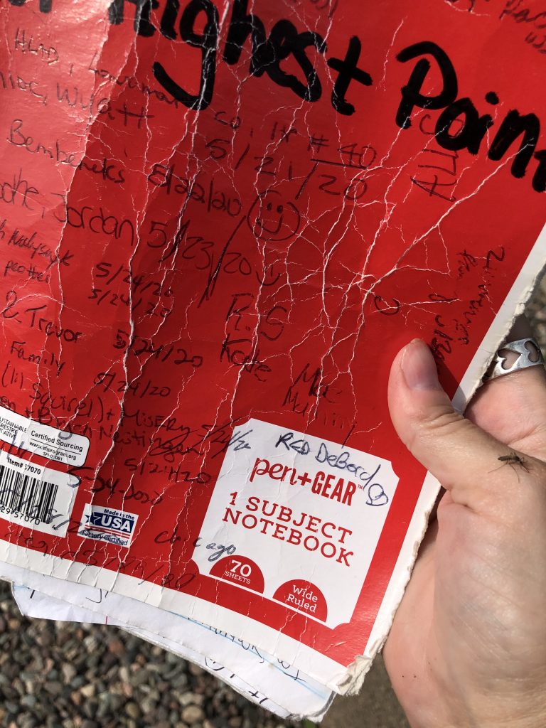
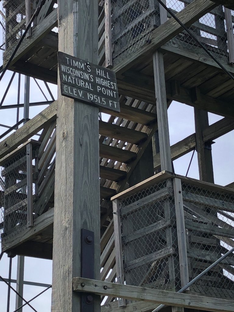
I asked a random teenager to help me take a couple photos.
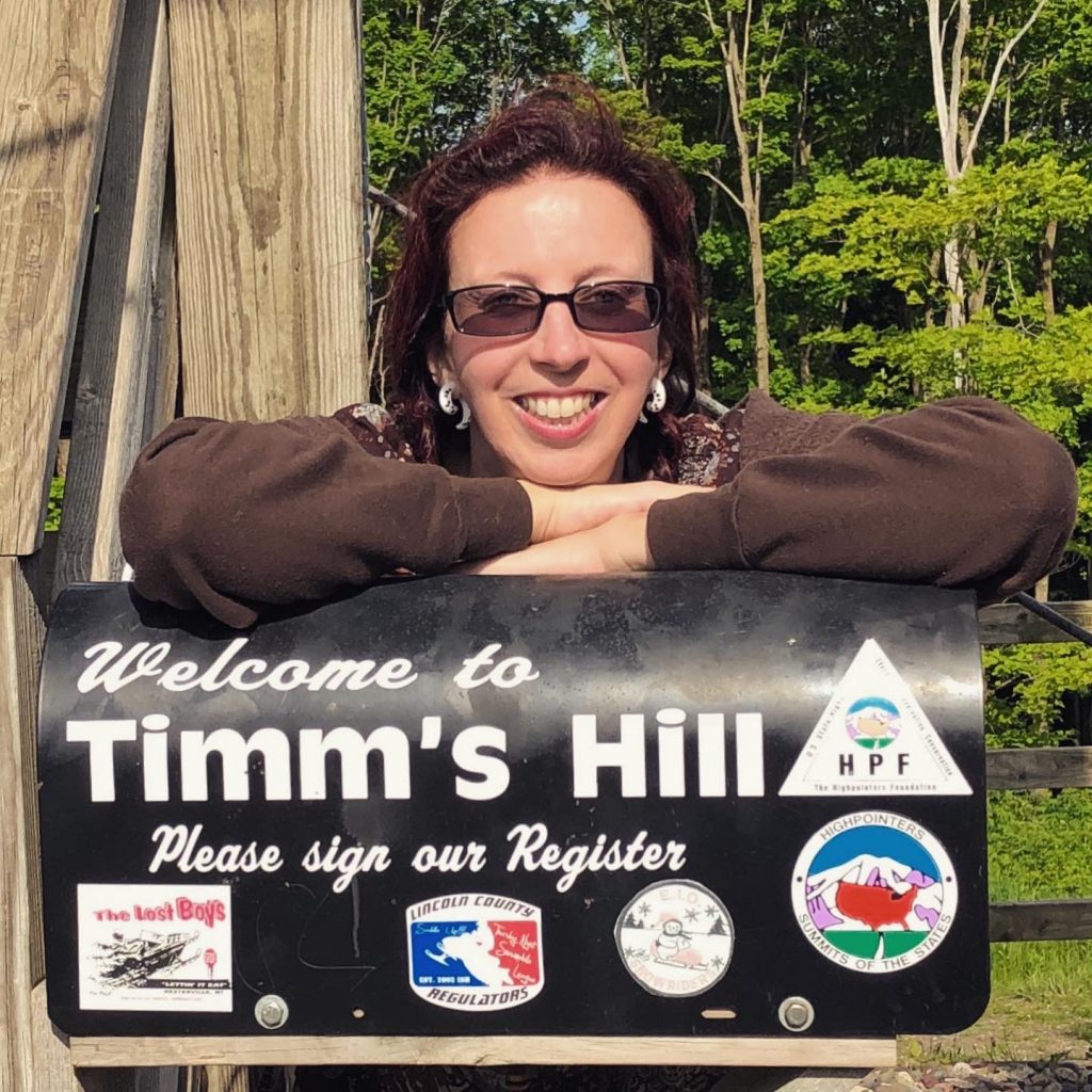
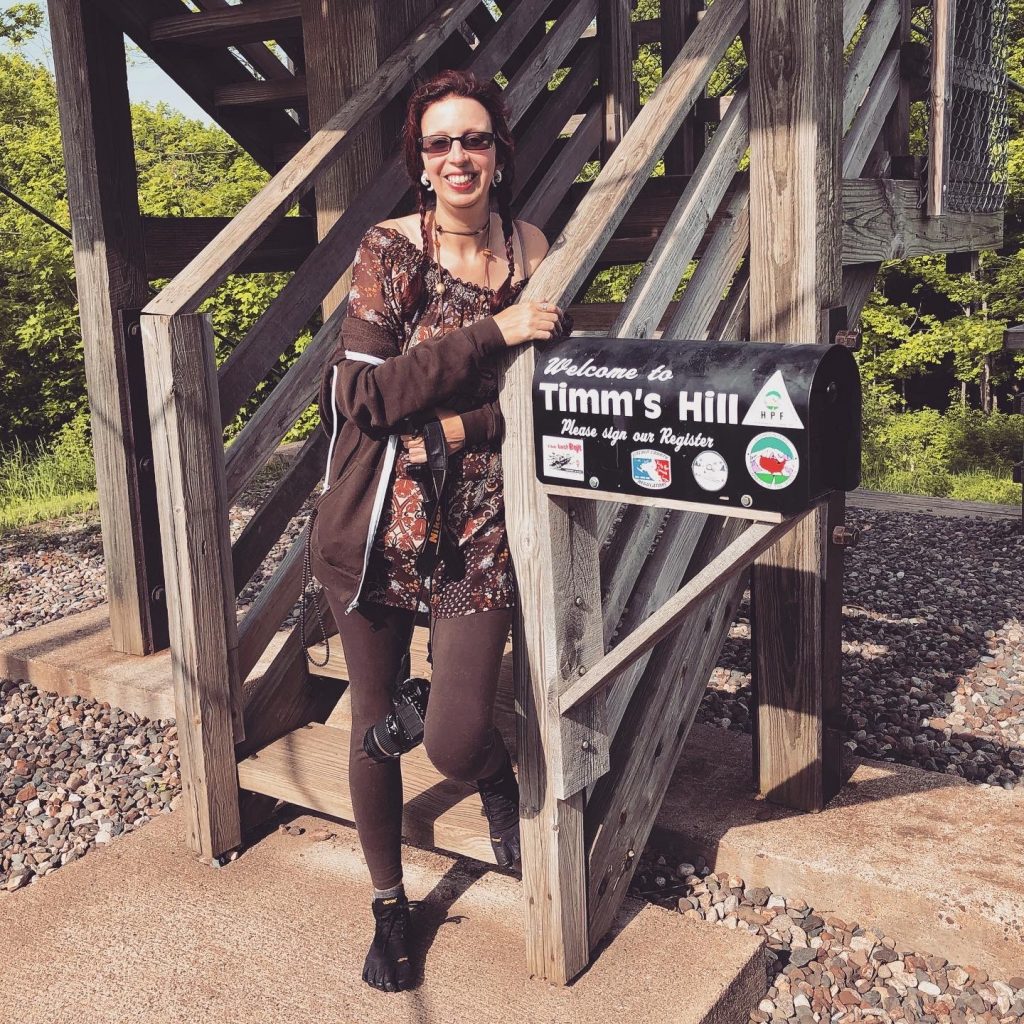
After the peak, I explored the “High Point Village” driving around on the entire length of the “Rustic Road”.
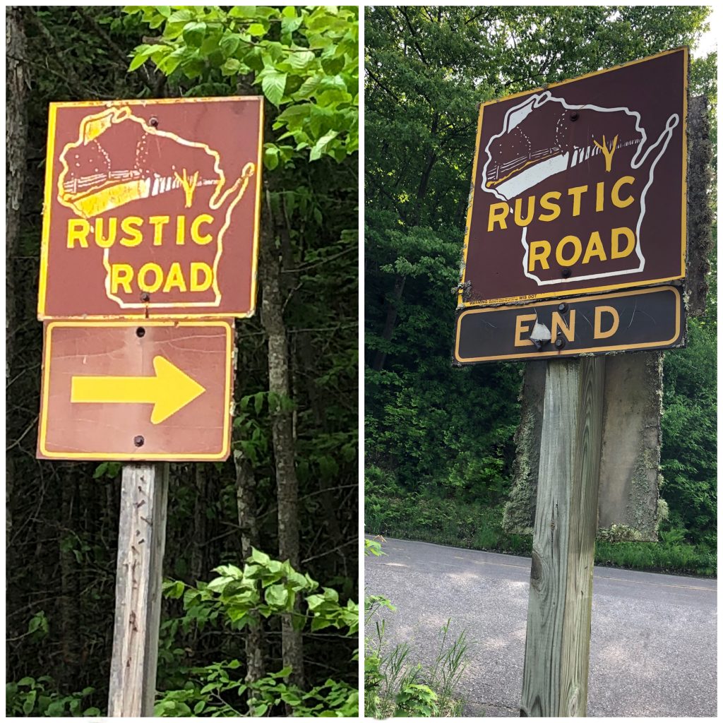
I stopped to take photos around the REALLY cute cafe in the village. It was closed already for the day which sucked, but it appeared to be more of a breakfast/lunch hangout. The cafe was overlooking a lake and the entire are was just so picturesque. I stopped to save a turtle from the middle of the road, nearby.
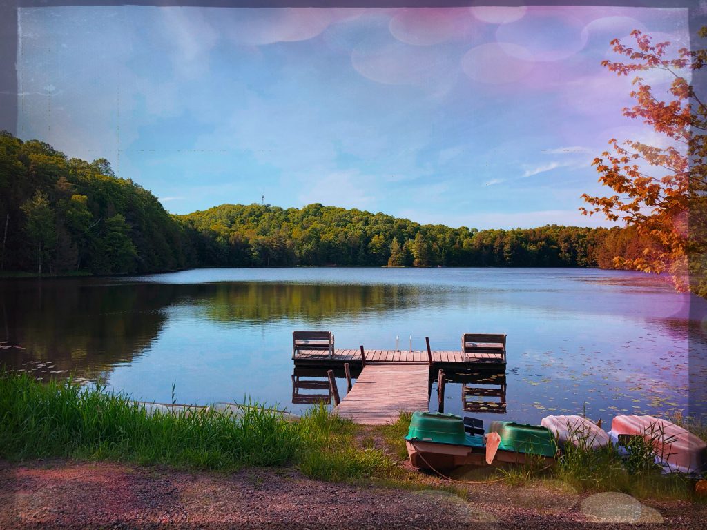
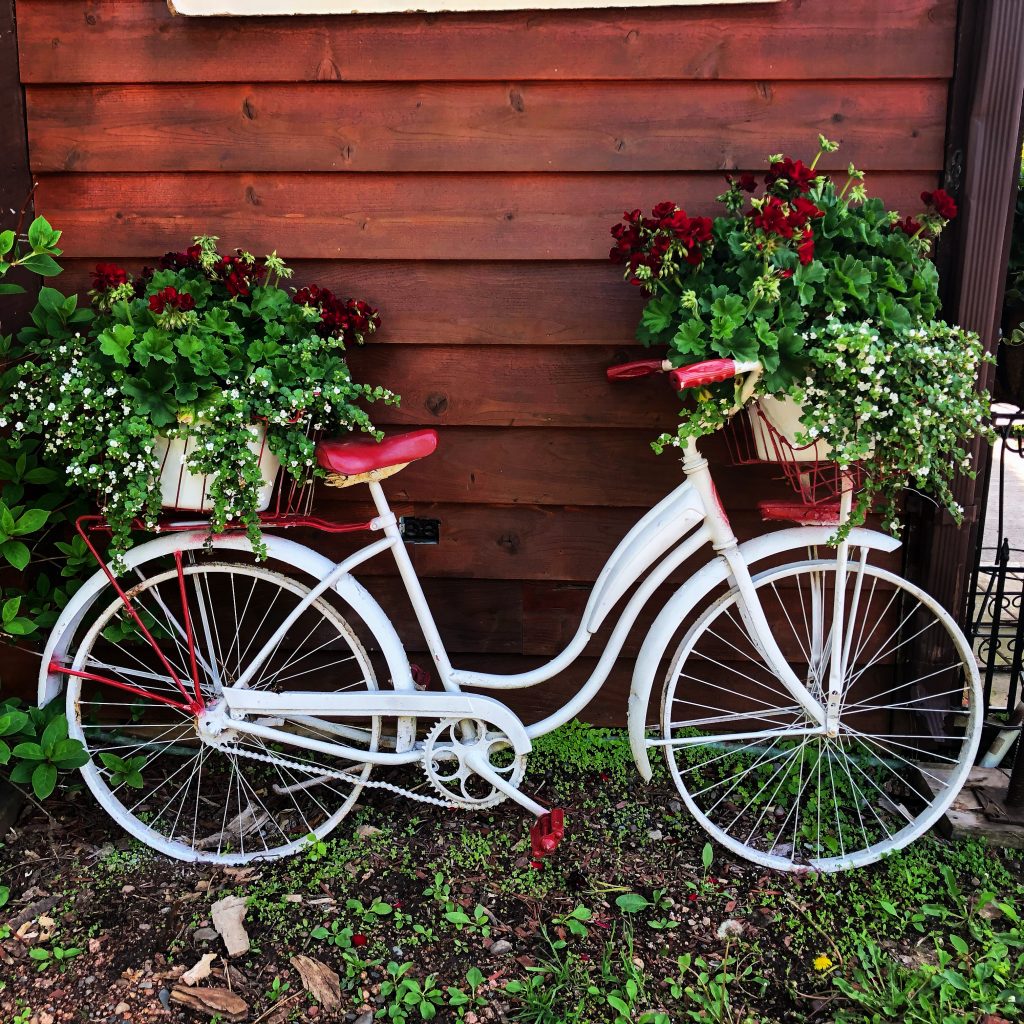
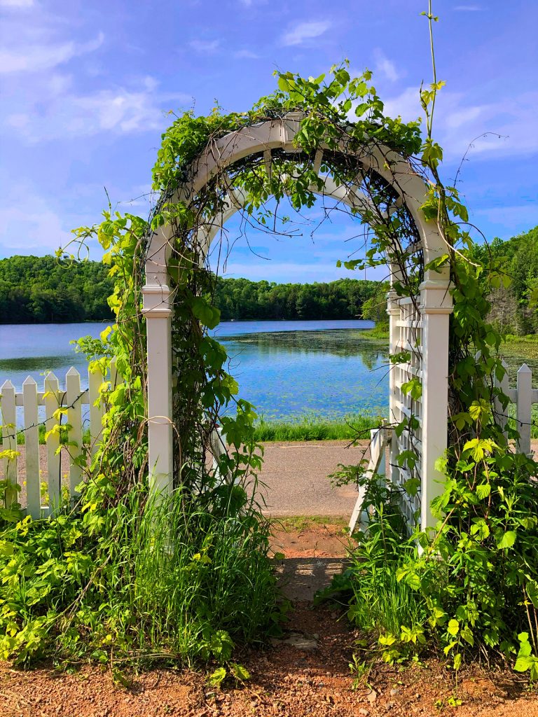
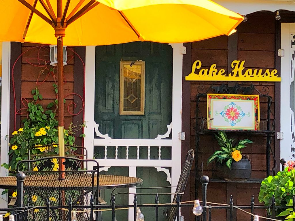
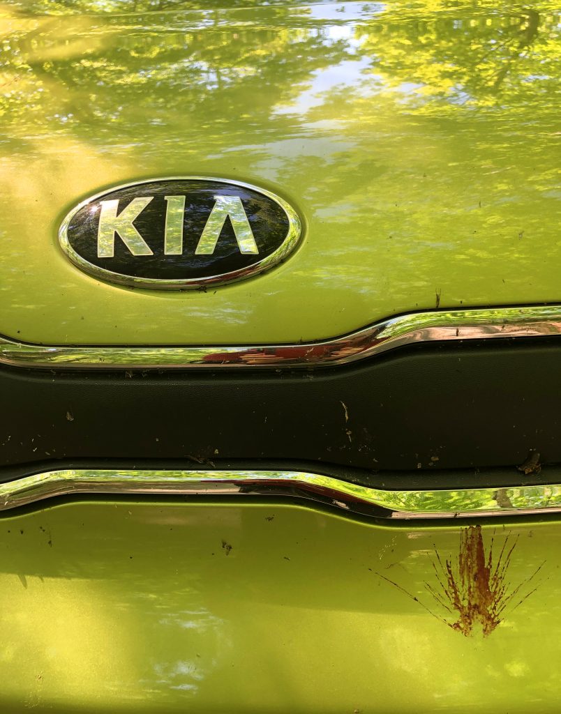
Once, I was done exploring the beautiful area, I used my Compass and determined the North East direction. I knew that I was heading towards the Michigan High Peak next and I wanted to find a place to camp along the way. Without my Compass I would have been aimlessly wandering around in the middle of the no where on seemingly endless dirt roads… More than I did! Talk about an adventure! I don’t have the best sense of direction, so that compass was my lifeline! When I eventually got cell service an hour or more later, I was a bit off of my intended path, but not bad. I was really worried about not finding a main road that was paved. I imagined myself meandering around until the sun set and I ran out of gas. With every turn, I hoped for either cell service or some sign that I was getting closer to a main road. My thoughts were slippery sloping big time, but I pulled it together and used my trusty Compass and I was safe and back on track. Once in a town, I got a much needed car wash to get many, many layers the back woods bugs off of the Green Gremlin.
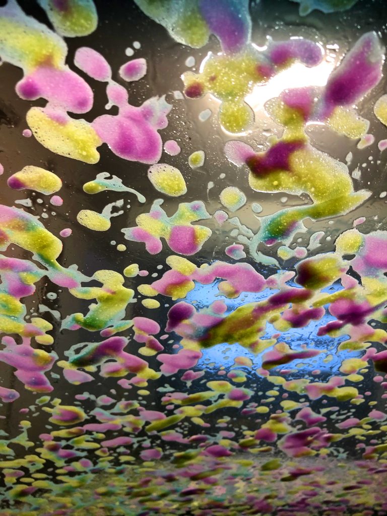
I wanted to find a campground, but because I was without cell service for so damn long… all camp offices closed on me. I stopped at this one place called Foxfire Campground that I just came across. I talked to a couple of campers and they said the guy that runs out the place lives on location and we tried to find him with no avail. It looked like a really sweet campground to so I was bummed. I was extremely tired and I just went across the street and got a cheap motel room for the night at The Arbor Vitae Motel. The red vacancy sign was such an amazing site to see! I asked the hotel owner if he knew of anywhere I could get good vegetarian food HA! He gave me the look of confusion that I have seen quite a bit on this trip already, and then we both laughed. I said, “Well, How about a pizza place?”He directed me to a place about a half a mile down the street called Monical’s Pizza at Arbor Vitae. I sat next to a very large windows and watched a deer swimming across a lake to a little island area. The sun was just starting to set.
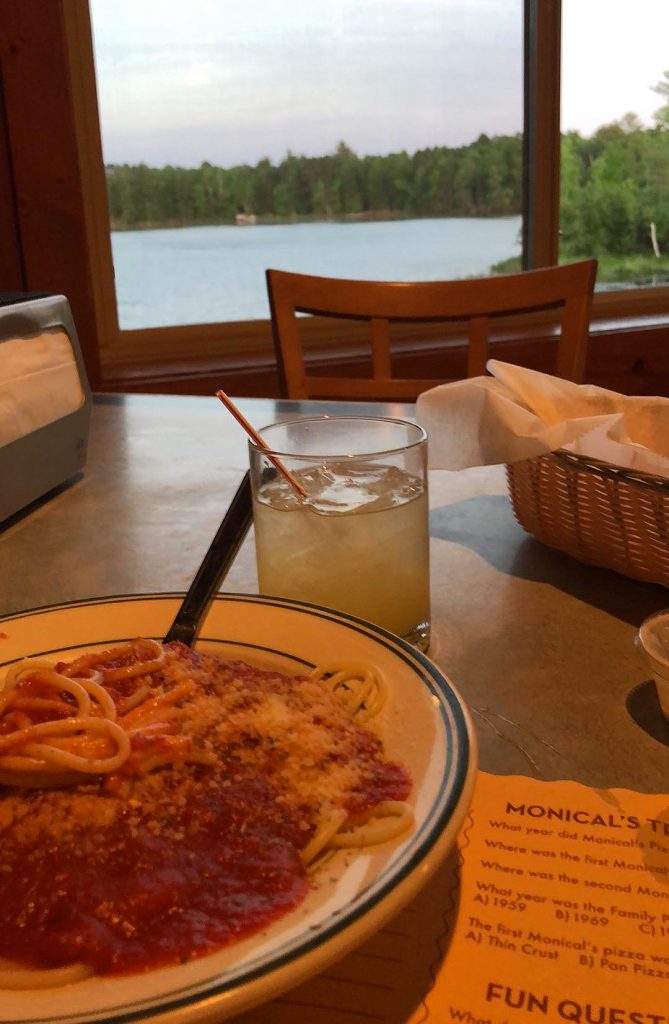
After my yummy spaghetti dinner, I moved to the bar and hung out with some locals in the town of 3,153. The bartender let me try some of his good Tequila from Mexico that he doesn’t sell to customers. Then I went back to my motel. I really wanted to camp because I’ve been completely enjoying my hammock in the Kia Soul set-up, but my motel room was lovely. Two hours still from the Michigan High point and the way things were going, I didn’t think I was going to have much service on my phone since it was getting worst and worse. I was a little worried that I would loose reception like I did heading to Timm’s Hill. Anyways, I’m extremely grateful for making it there! I’m also happy I went up the entire tower even though it was wobbly and making me second guess my life’s choices. I was relieved I was able to find a place to sleep even though it was not camping with the cool people I met at the campground. I drifted off to sleep feeling very happy for the experience.
RED’s log day 4, June 8th: Check out was 10AM, but the dude said that I could stay till 11 if I needed. I was up early, so I didn’t need to worry about the extra hour. I popped out of bed, opened wide the curtains and saw an amazing view of the woods next to a lake. As if that wasn’t enough, a solo deer was walking around eating. It was a magical way to wake up. So serene.
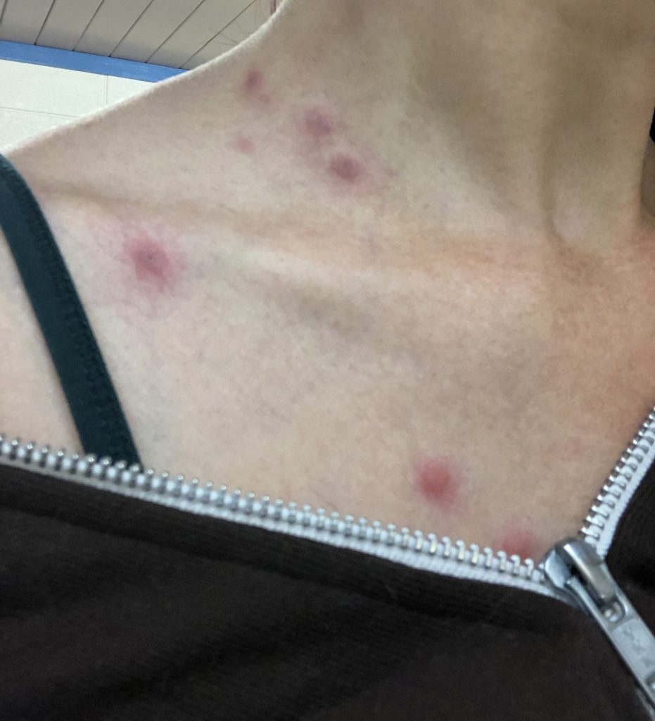
As, I was getting ready to shower, I saw all the bugs bites on me. I set up my phone to get a shot of part of the madness. They were all over my back as well as all down both arms.
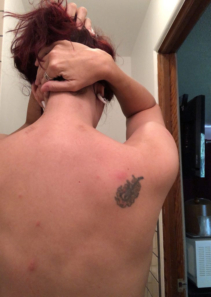
After my shower, I started to pack up. The housekeepers sweet Doggo greeted me the moment I opened the door. She was hanging out and helping me pack up my car.
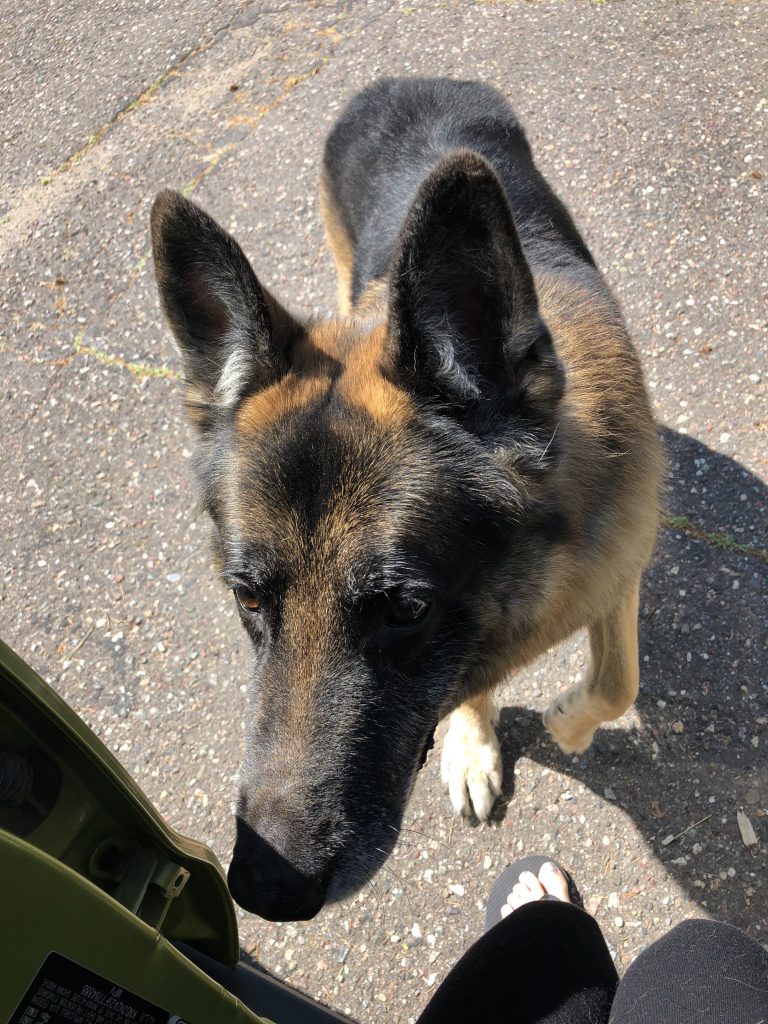
I quickly said, “bye” to my new dog friend and headed out. I only got about 15 minutes away, when a beautiful red beacon drew me in. Hello, Red Canoe Coffee Company with hammocks set-up outside!
I mean, I HAD to stop there! I needed breakfast anyways. That place was full of things that I felt like I needed, but I refrained. I ate out of the patio under a red umbrella which made everything red!!!!
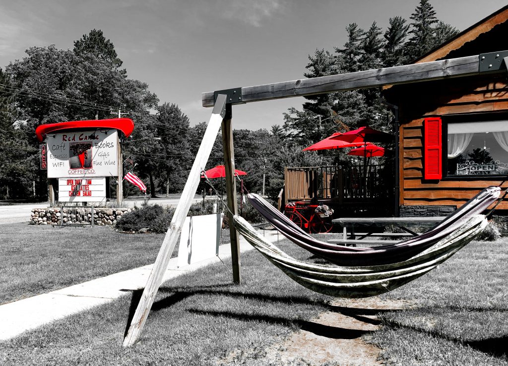
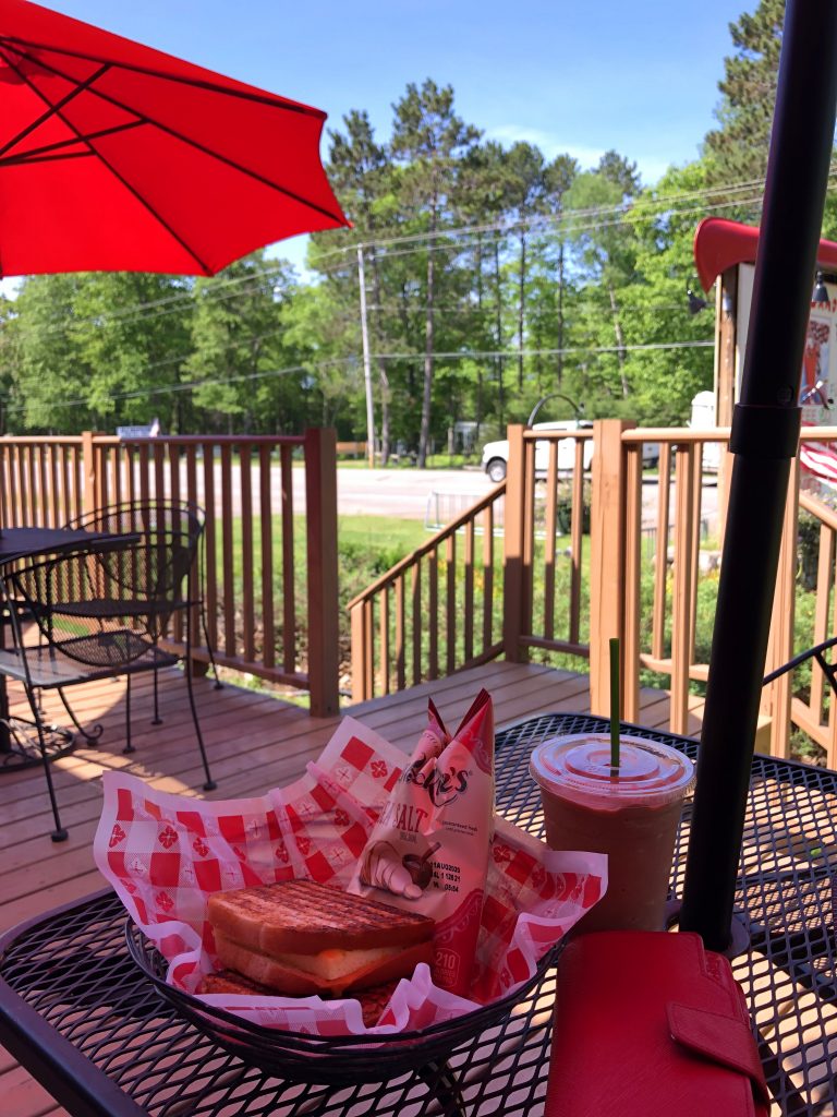
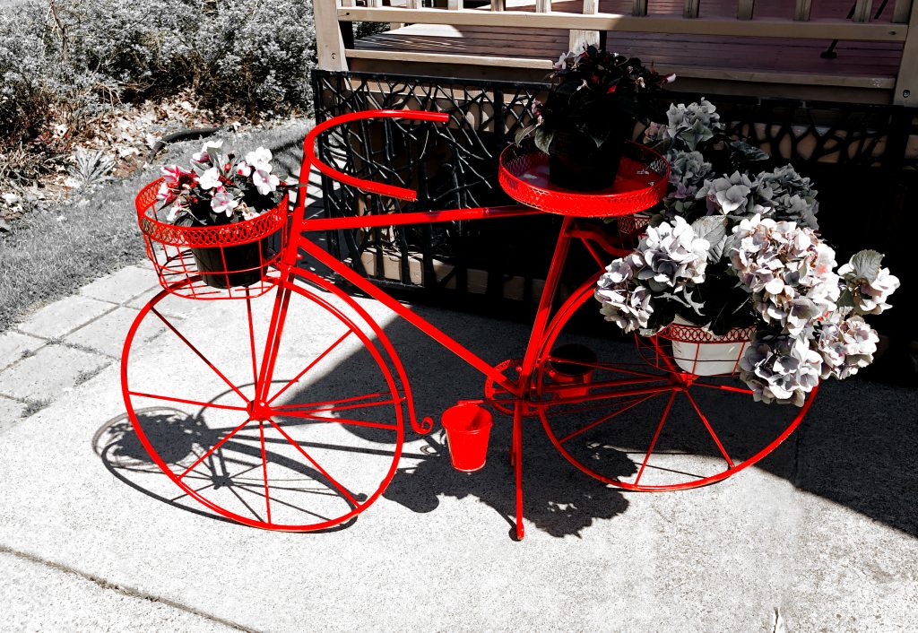
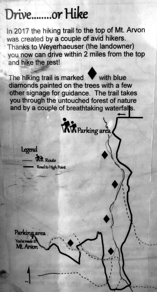
I sat on the patio and enjoyed the view for awhile, then continued on to Mount Avron. Once I got close to the high point, I completely lost cell service and then followed signs (thank you) for the next 10 miles on winding dirt roads up through gorgeous scenery.
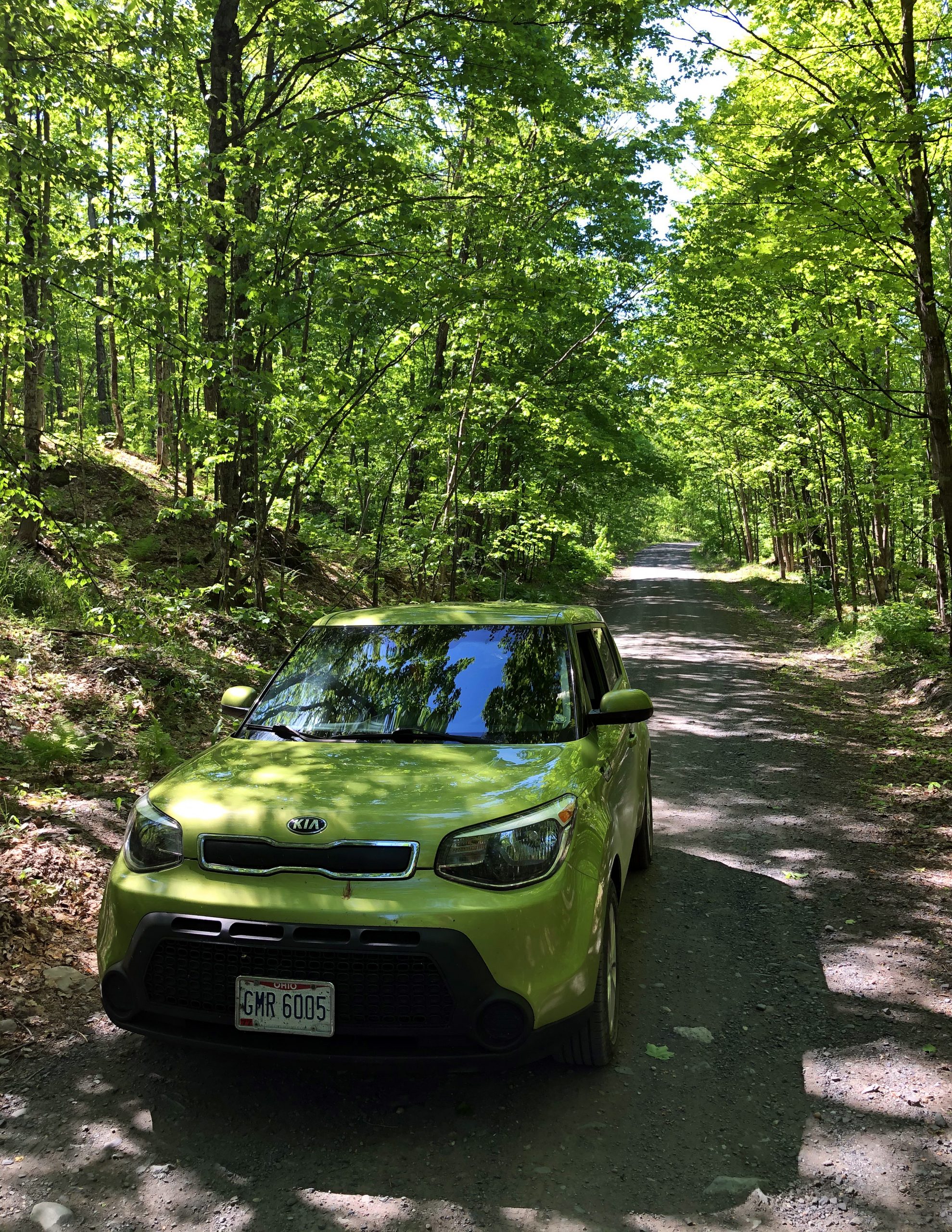
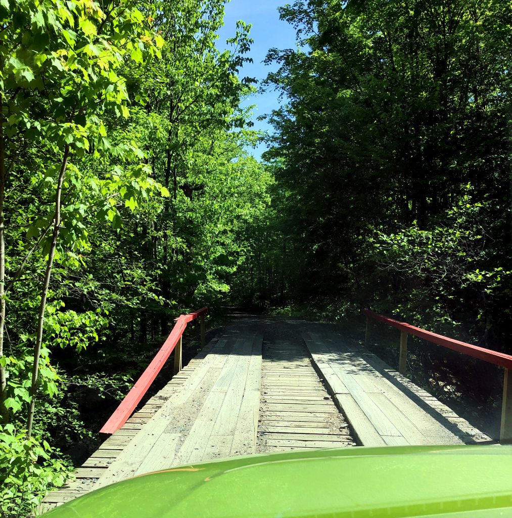
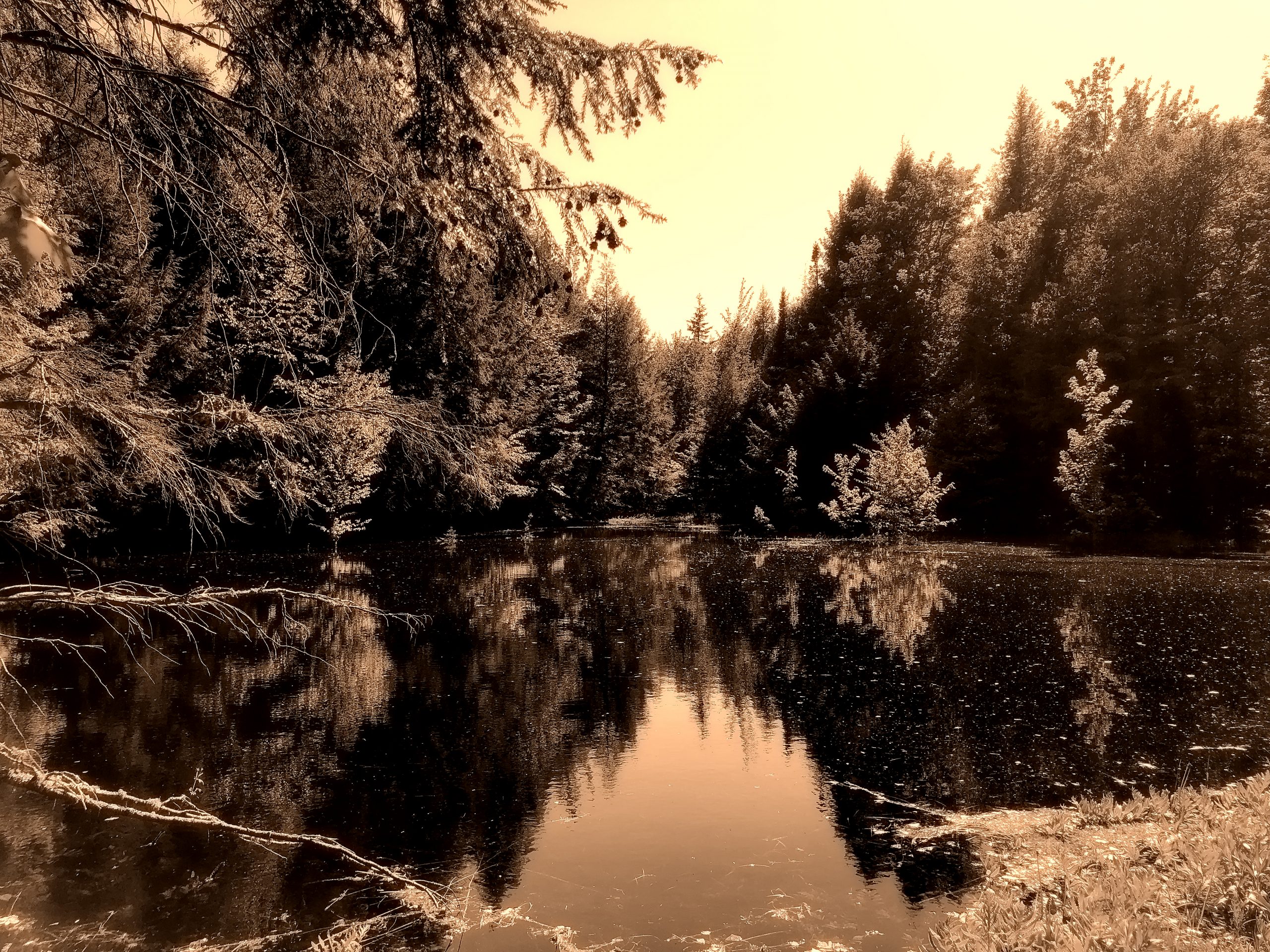
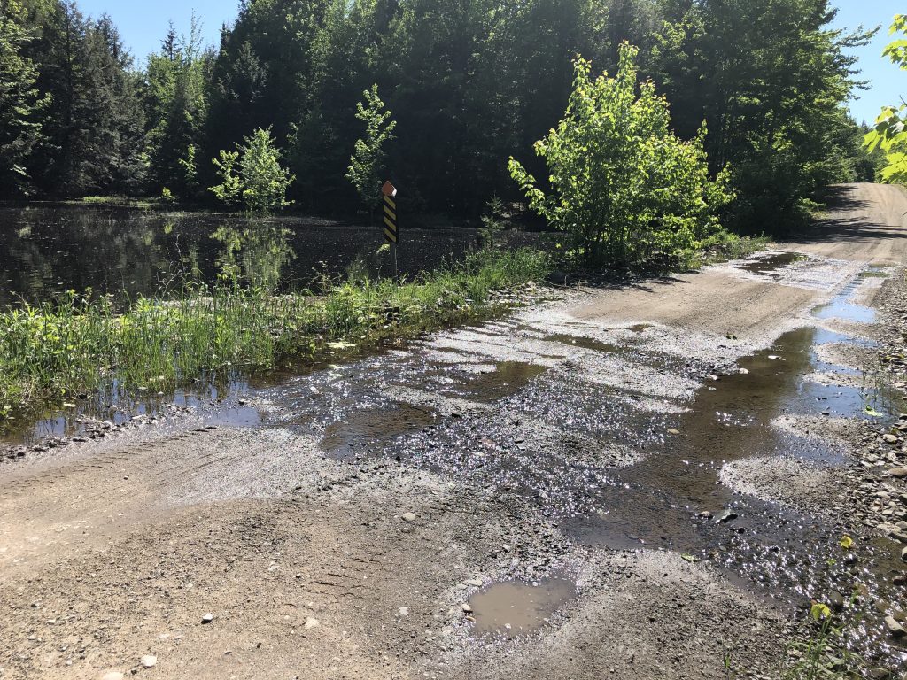
You, then come to a spot where you can park and hike the rest, or keep driving for most of the way to the top. I imagine most would rather check-off the high point by just driving to the top, but to me that is cheating. I wanted to hike, so I feel like I’m earning that high point!
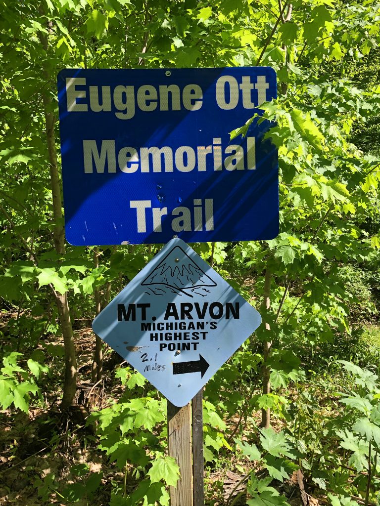
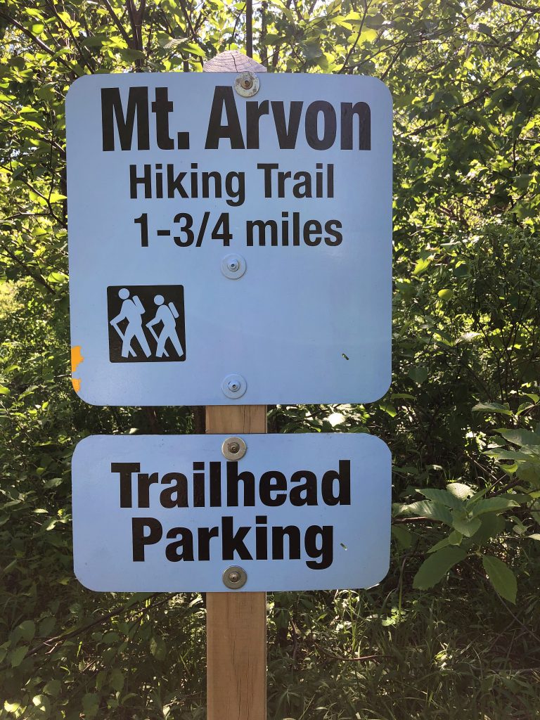
The path starts with very dense forest and then opens up a bit here and there. I wouldn’t even have thought that I was at the trailhead, if I hadn’t seen the marker. It did not look very well trodden, but the many blue blazes really helped out a lot. they gave me the confidence to keep going even though it didn’t look like much of a trail at all in certain areas. It was pretty intimidating, very steep and extremely buggy, but absolutely magical!
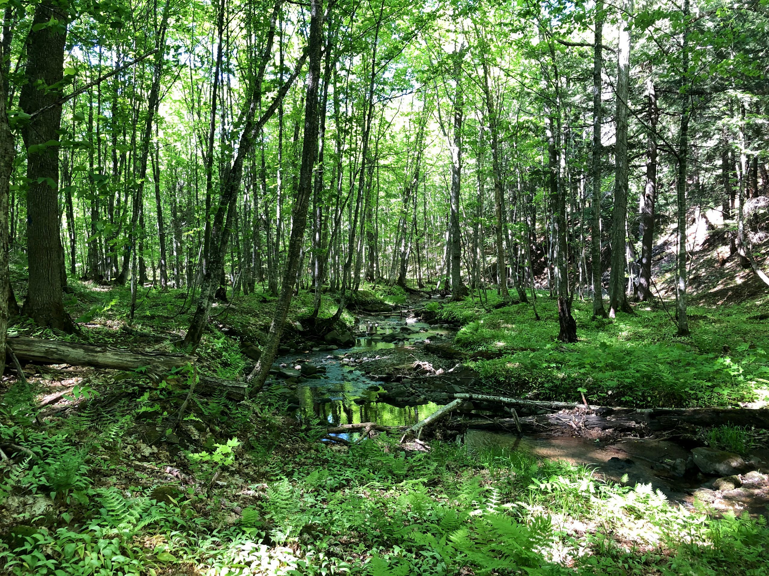
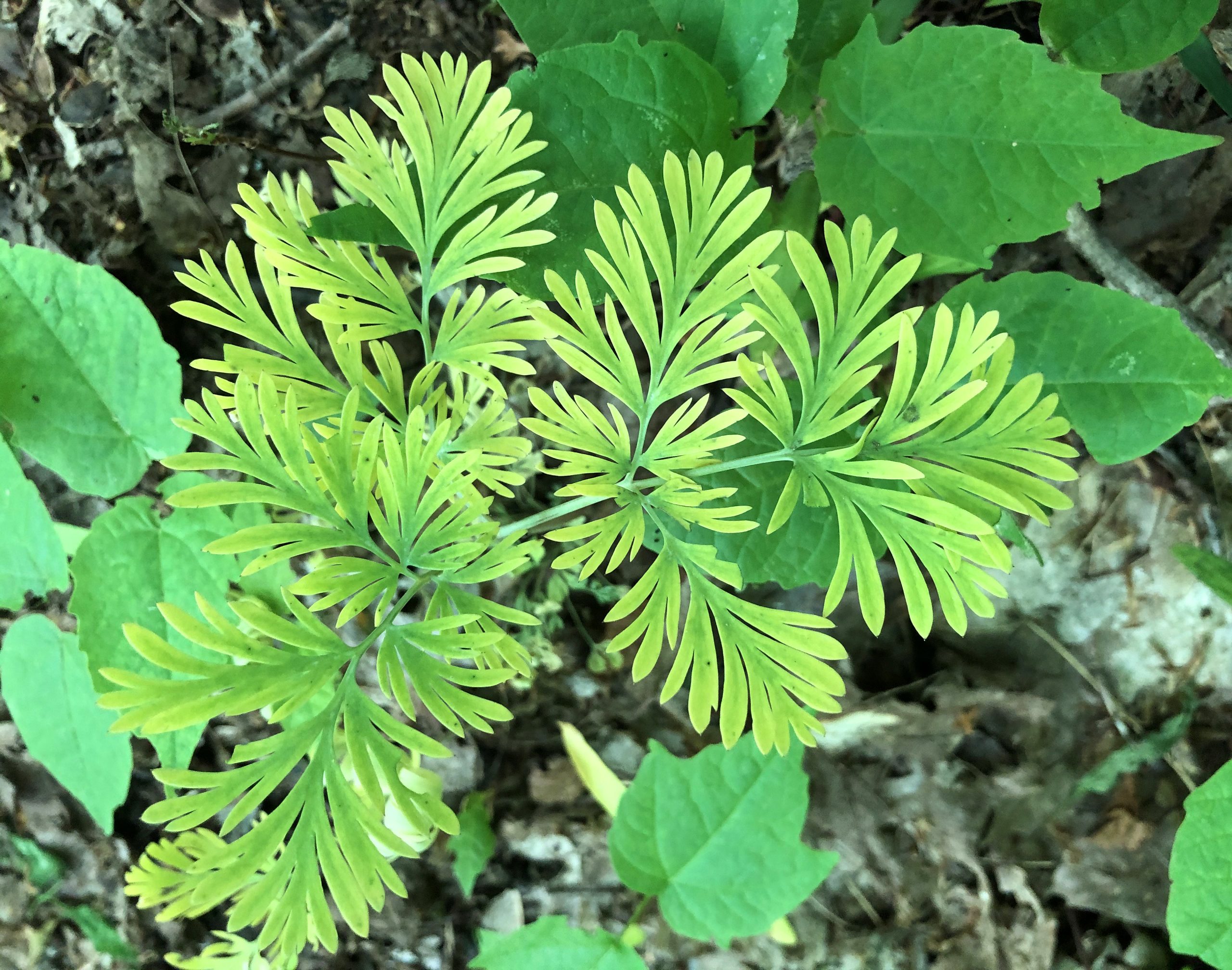

I have heard there are moose in this area because of the lake and waterfalls. I imagine they are a good water source for them and they love swimming. My past experiences with moose have not been the best. 2 moose, when I lived in Alaska, have charged at me and wanted to kill me, but I got away by the skin of my teeth. So my biggest fear was running into moose. Even though I normally love seeing wildlife, I’m very happy to say I did not see any moose on the trail. I saw several chipmunks , frogs, a turtle, a couple of crazy chicken looking birds (ptarmigan?) a deer, and a bunch of big beautiful butterflies, but no moose.
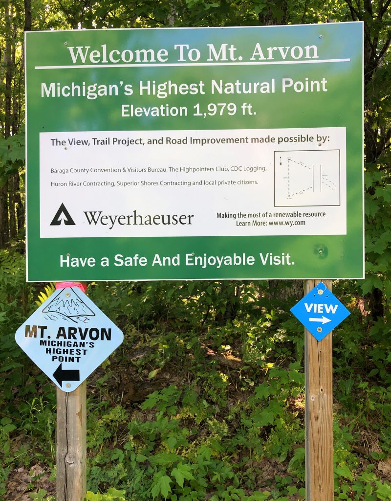
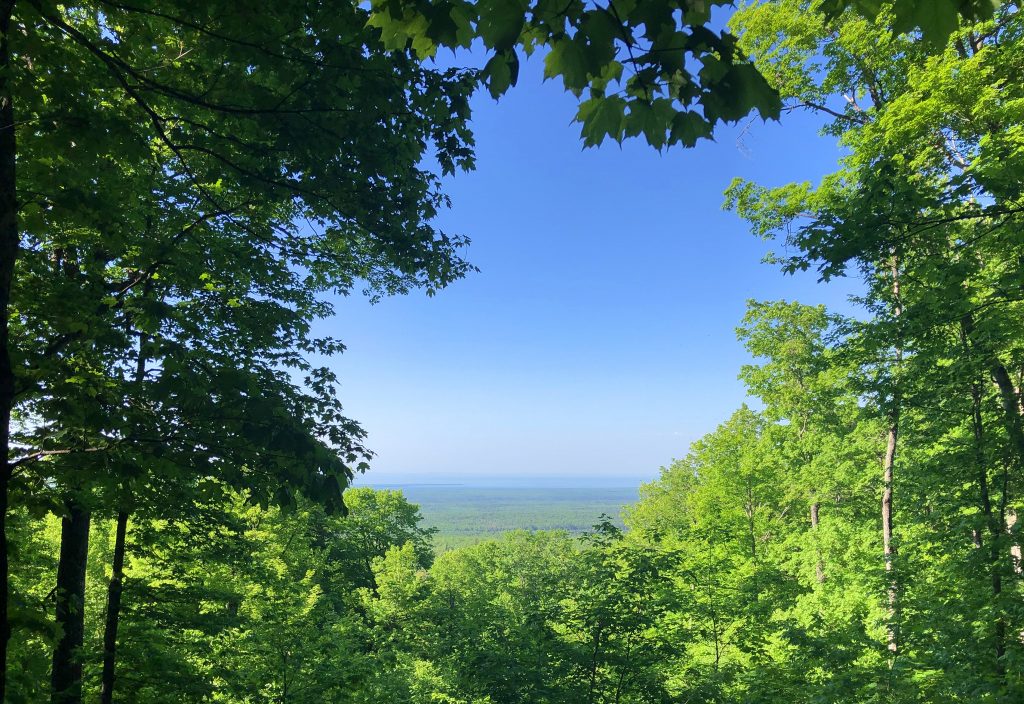
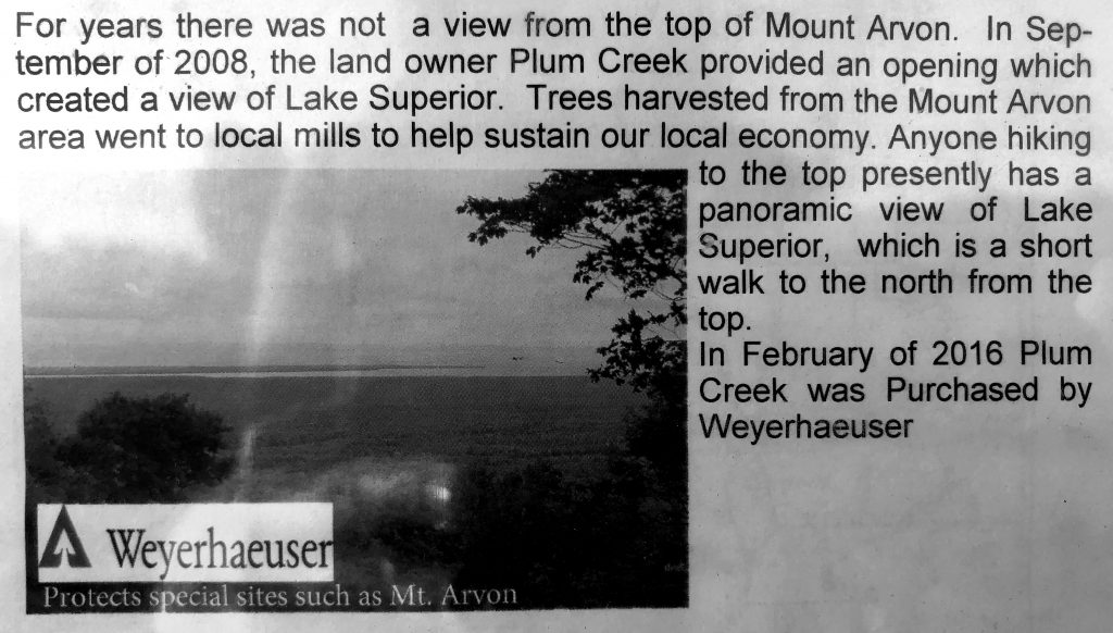
Towards the end of the trail, you reach a sign that points to the high point and another arrow points to the view. If you didn’t hike the trail, this is where you would park. It’s a very small walk to both the sign and sign-in spot as well as the view. The view looks over Lake Superior. It would be nice if more trees were manicured to see the view better, but it’s still pretty.
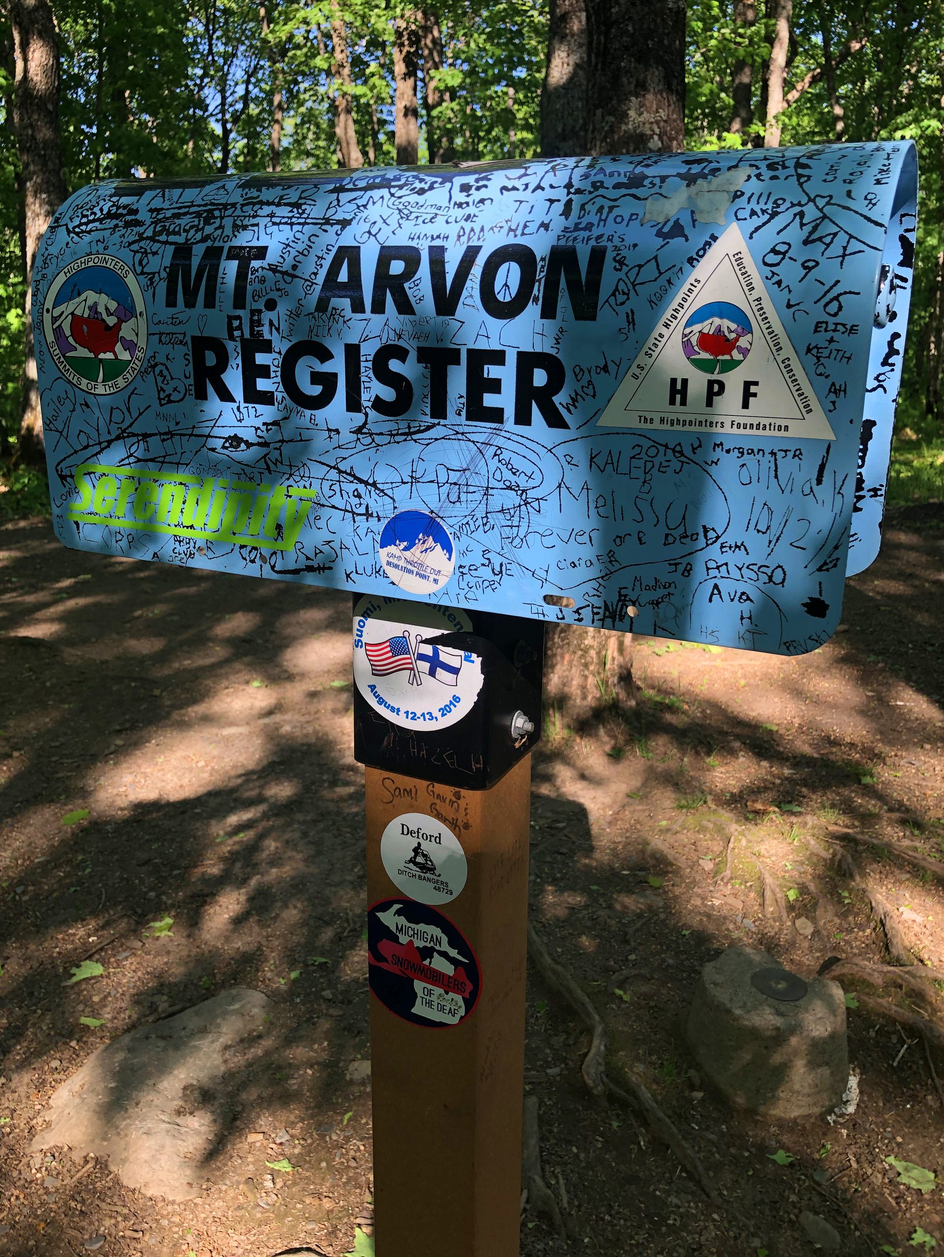
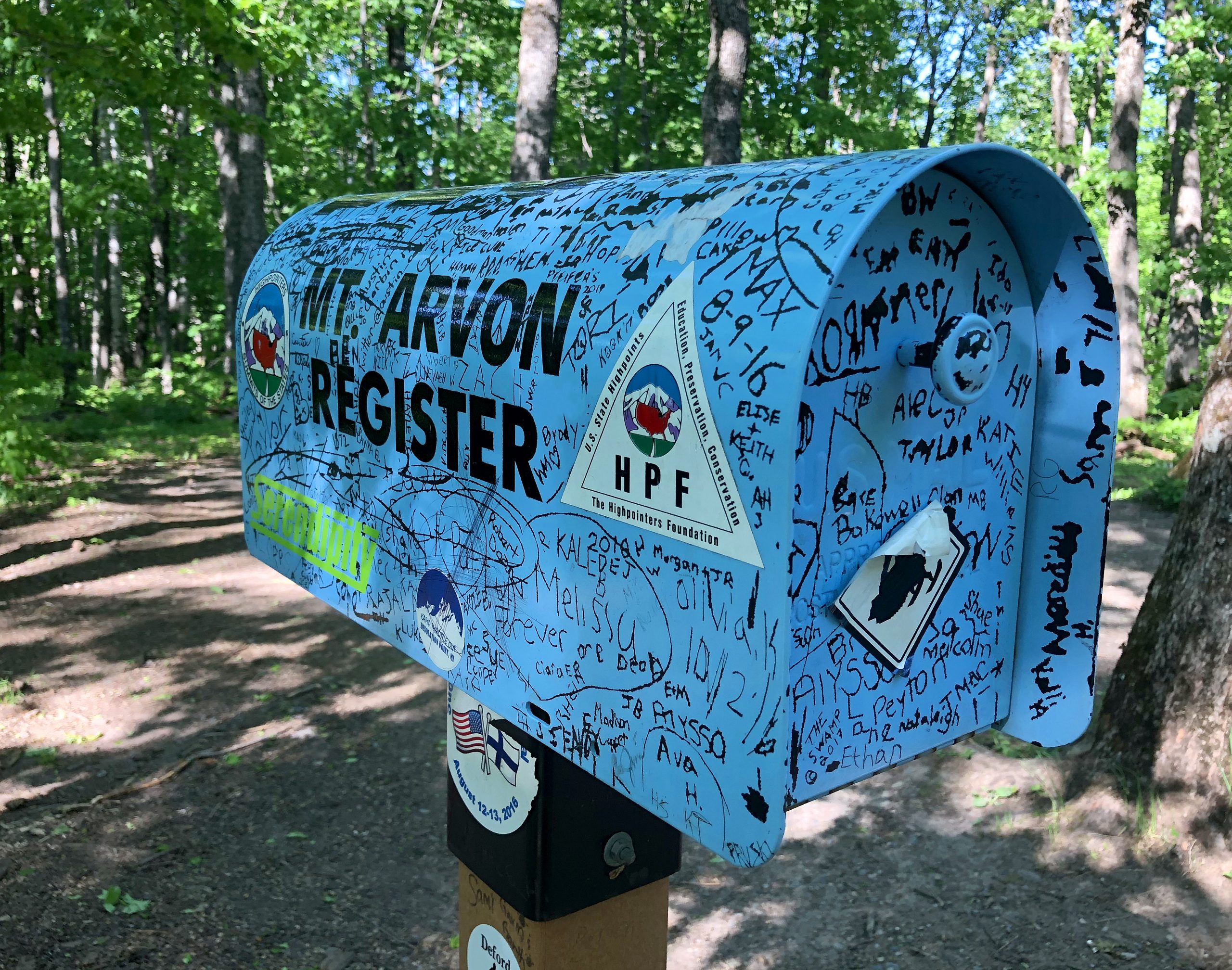
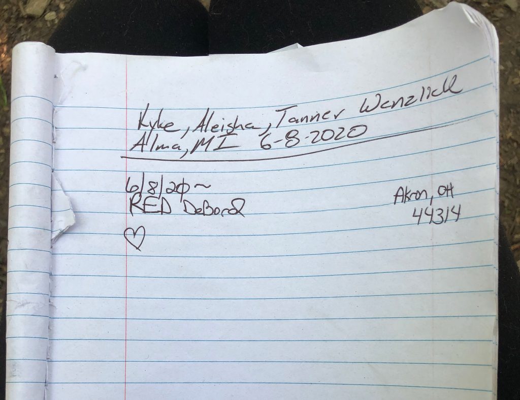
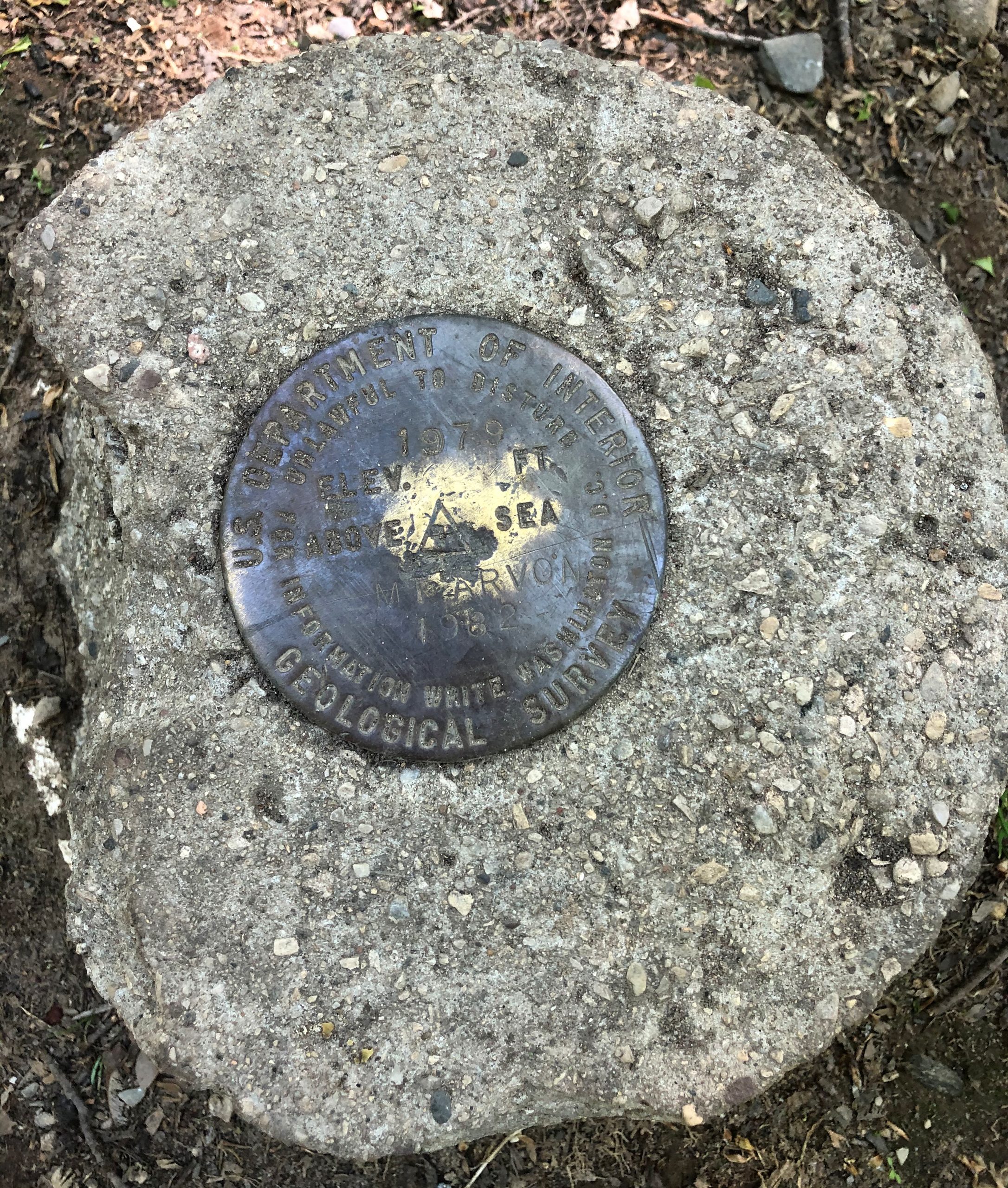
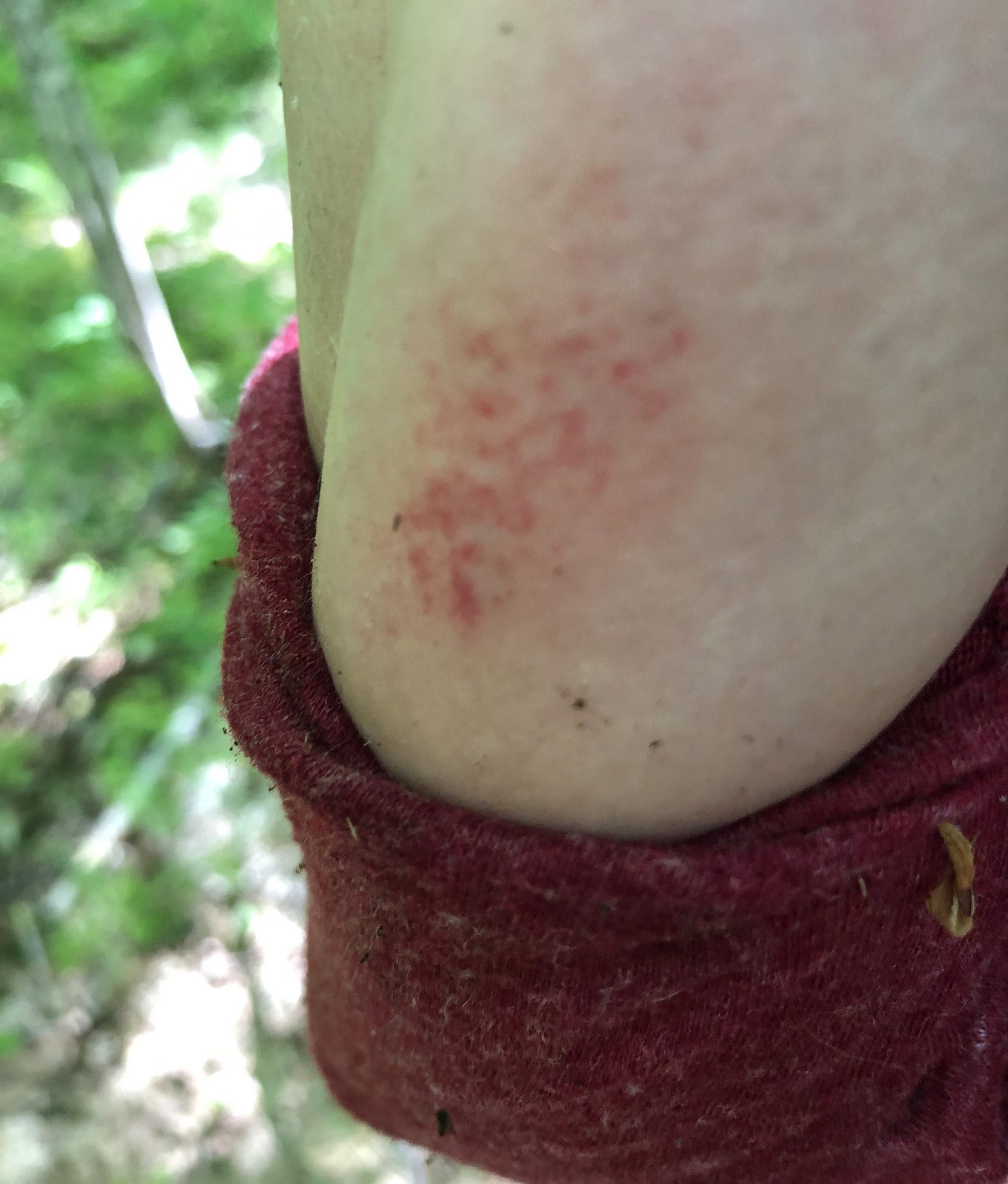
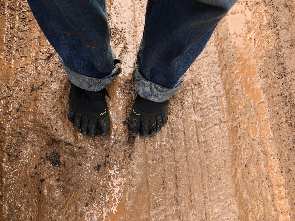
There were three River crossings on the trail and lots of mud. Your feet will get wet! While crossing one river, I slipped in mud and came down hard on my arm. It bruised instantly. But if it wasn’t for my arm taking the brunt of it, I would’ve smashed my face on a rock. Because the trail was so rugged and unmanicured, it was unlike most trails that I’ve experienced. With the added fear of running into Moose in that situation and alone, my adrenaline was going. The closest trail that I’ve done to this one, would have to be Mt. Katahdin, in the backwoods of Maine. That also was several miles of dirt road before you park your car and Hike 4 miles in dense woods before you even get to the base of the mountain in order to climb it. The difference? I saw several people on the trail to Mount Katahdin and even made friends with a group of 4 gals climbing together. They invited me to join their group because I was doing it solo. I didn’t see a single soul on the trail or even at the Highpeak of Michigan. I was completely alone. Alone, even without cell service on the entire climb, if I did run into a problem until I got to the absolute peak. I had a bit of cell service just to upload a photo of me at the summit to my friends in Facebook chat. Then back down with nothing, but blue blazes as my guides.
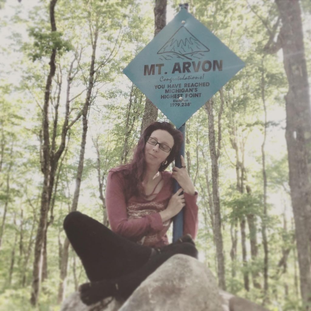
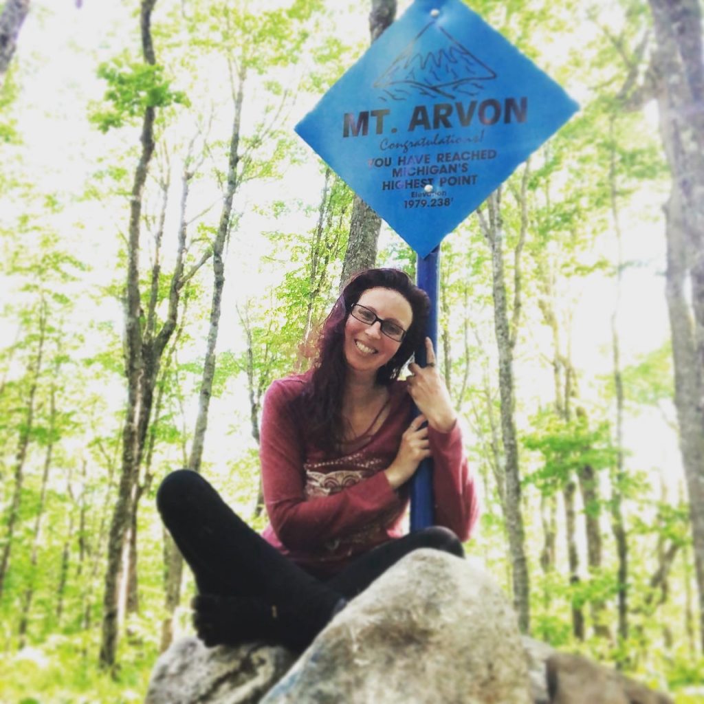
To all of the reviewers saying that the roads are super rugged and rough … making it sound like it’s almost impossible to drive… Either you have never been on an actual rough road, or they have been smoothed out because they were not that bad. I was expecting WAY worse based on the comments I read. To quote an awesome AWOLNATION nation song,
“Seriously, it’s not supposed to be easy that’s why It feels so f**king good”
(Song: Jump On My Shoulders.)
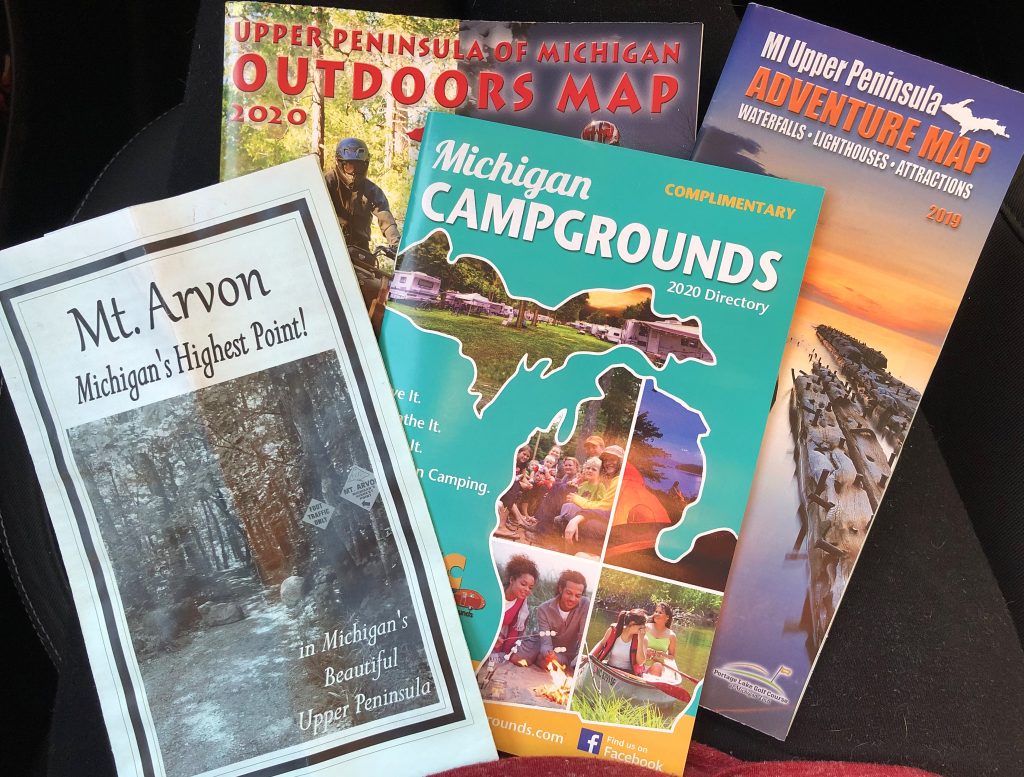
Upon coming back to a town, I stopped at the Welcome Center to get my “Certificate of Achievement”, but they were closed. No sweat, you can e-mail them and get a one sent to you! I picked up some brochures while there.
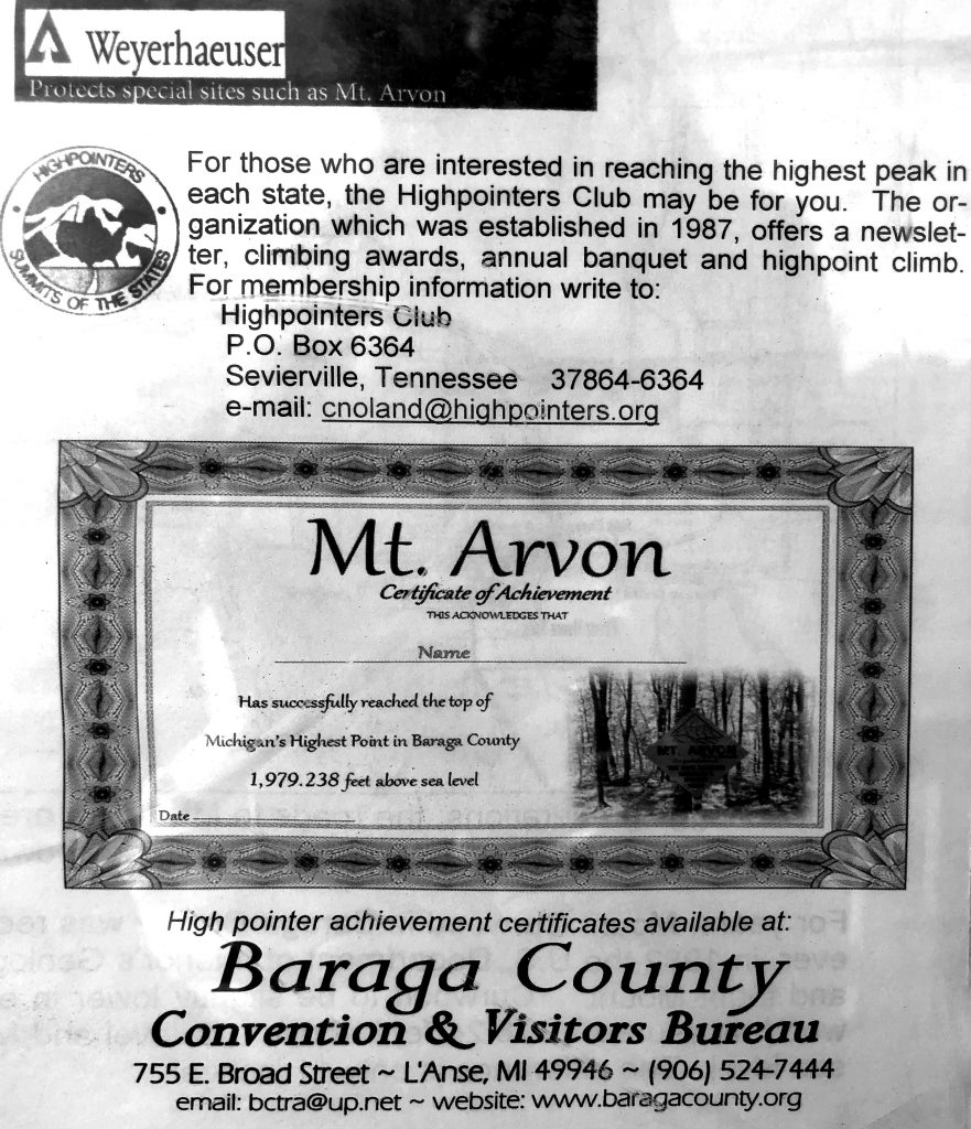
Next up was driving to Copper Landing to camp among the large Wolf population there.
RED’s log day 5, June 9th:
Coppper Landing: Wolves spotted or heard: Zero
Bitting flies spotted and felt: 2 Billion
1 billion of those were in my car. I didn’t know if you leave your car door open for two minutes, all the black flies took residence up in there. It was very cold sleeping, even in my car. I was cocooned in my blankets and in my hammock like a Burrito. Because the bathroom at the campground was a five minute walk away, the three times I had to pee in the middle of night, happened right outside of my car. It’s not like anyone could see me… I couldn’t even see my pee stream in front of me. Ha!
It was extremely pitch black and quiet which I enjoyed for sleep. Actually, I slept pretty well. The extreme darkness and quietness made up for the freezing temperatures.
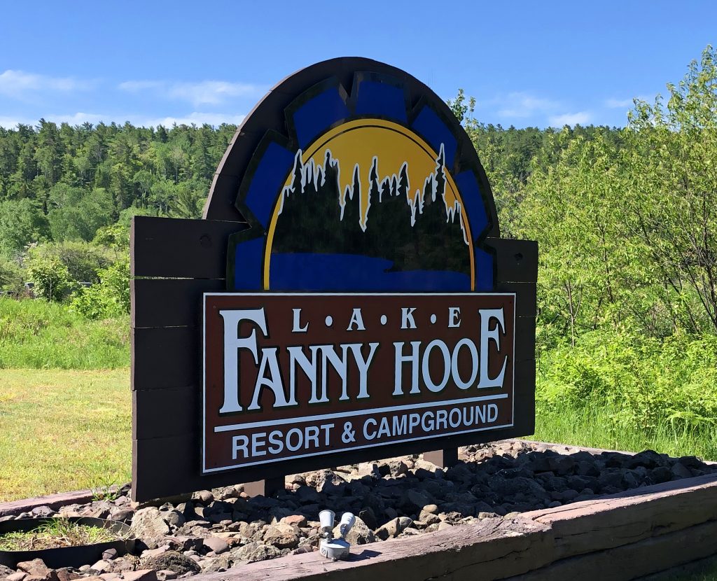
So, I didn’t have cell service at the Lake Fanny Hooe Resort and Campground. My first thought upon waking up was to just focus on getting away from Copper Landing, find cell service and get breakfast.
However, Shortly after leaving the campground, I saw a scenic view of Lake Superior while still in Copper Landing. I had to stop. I left the car on and the door open while I ran to get a few photos real quick. SUCH A DUMB IDEA! I came back to a swarm of biting Black Flies all up in my car again. Holy damnation! I forgot I can’t do that here! So, I opened all the windows and tried to drive fast to get them out, but I let more in! It became a “fun” game to crack the windows just enough to let some out and not let all their friends in…all down the road off of the peninsula.
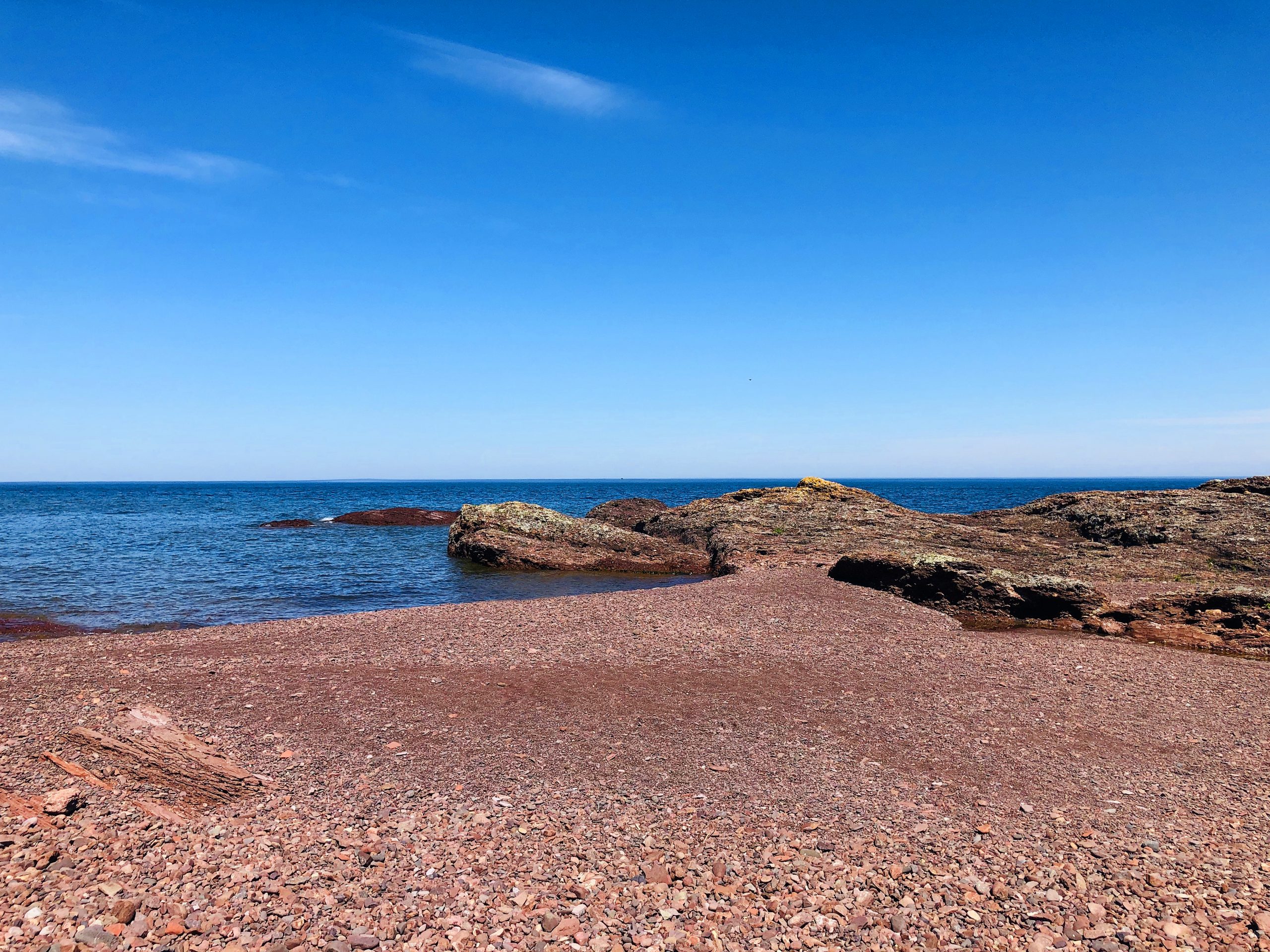
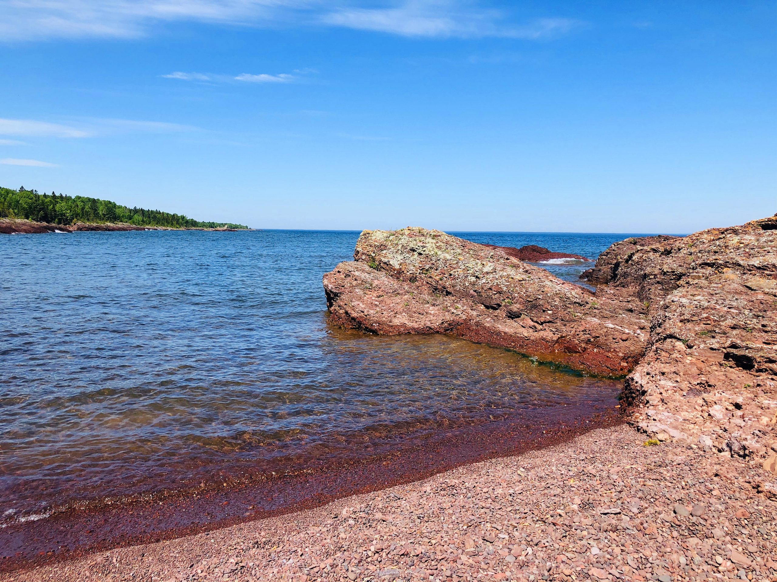
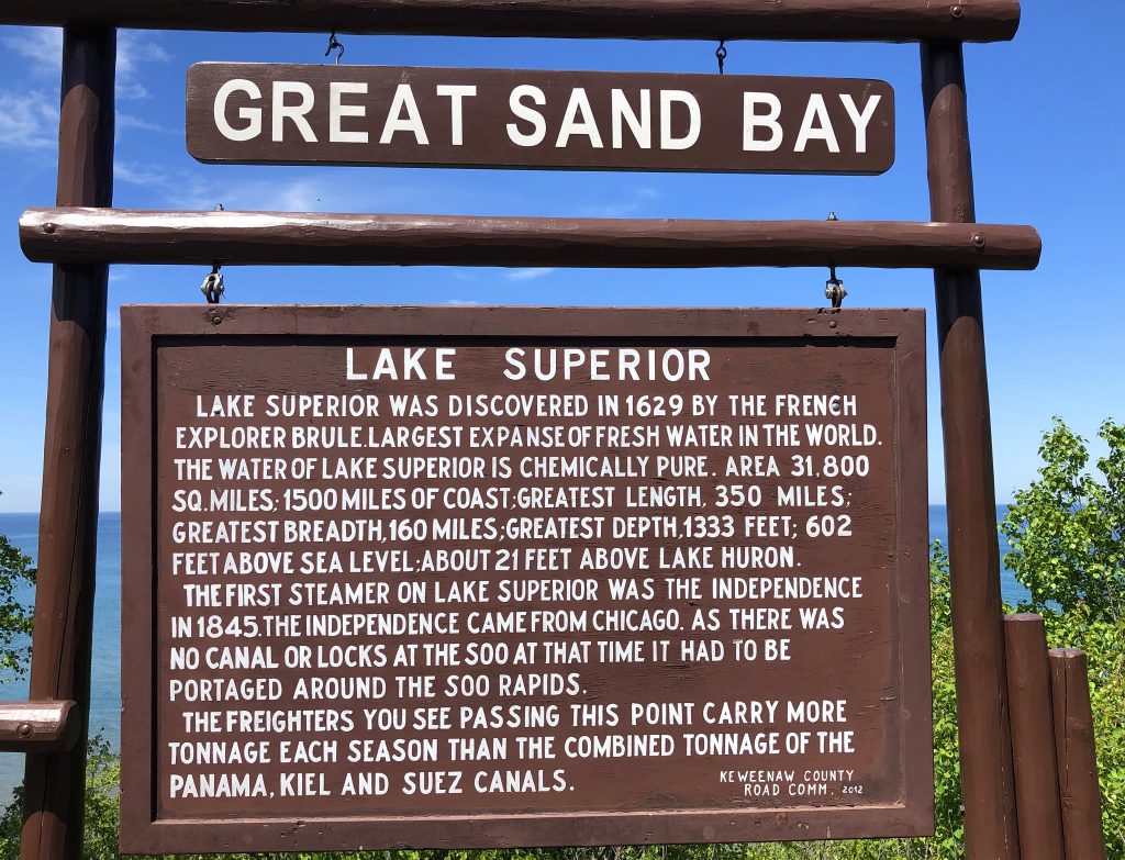
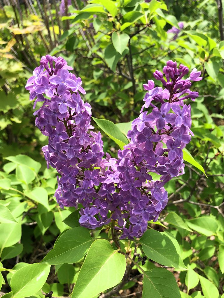
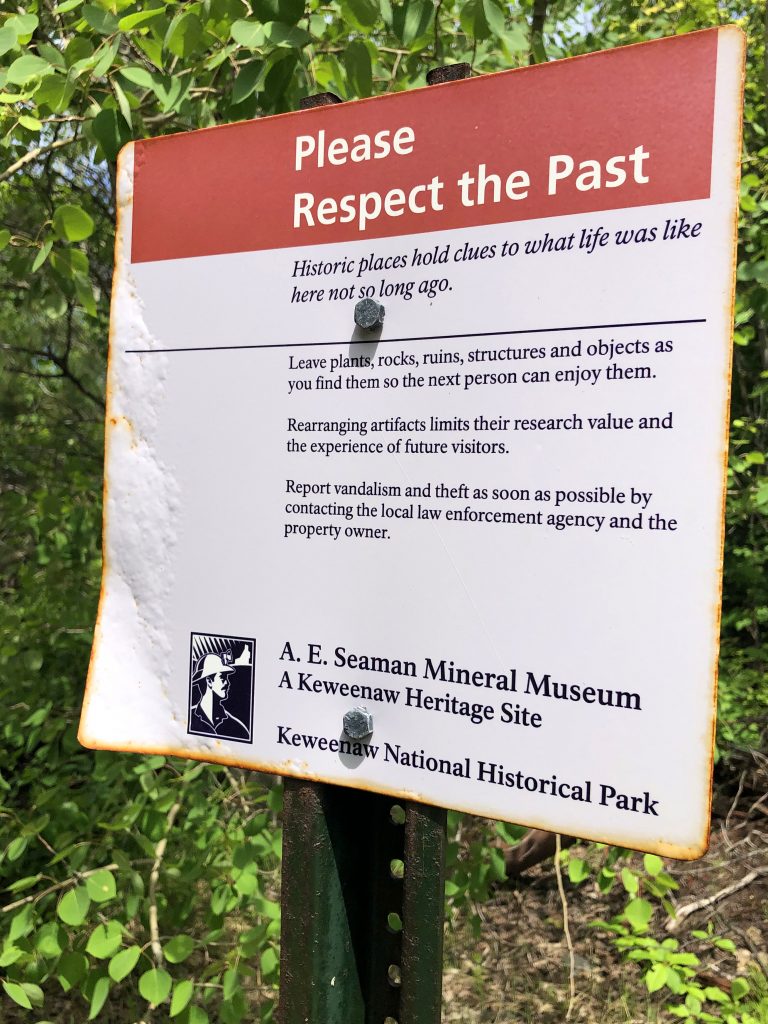
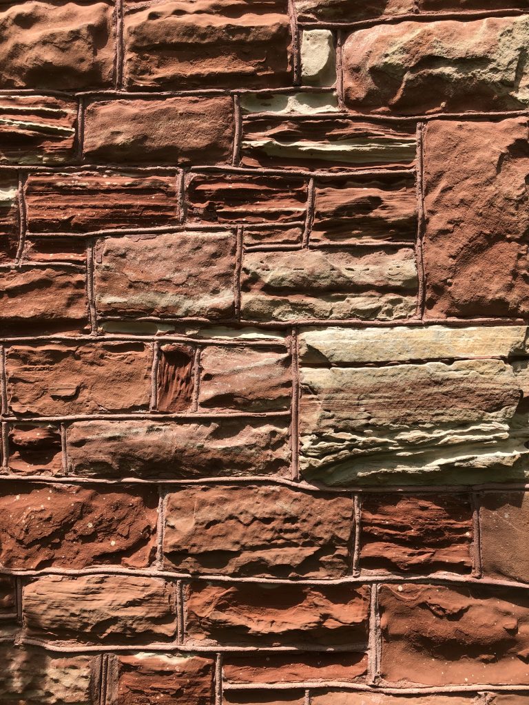
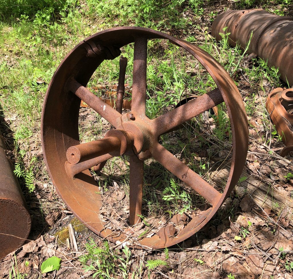
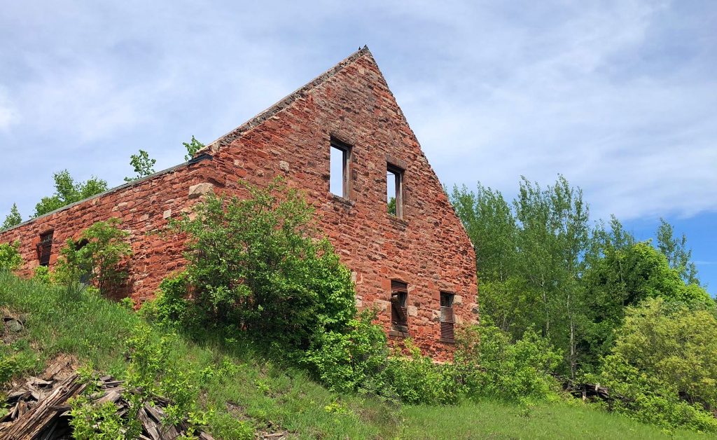
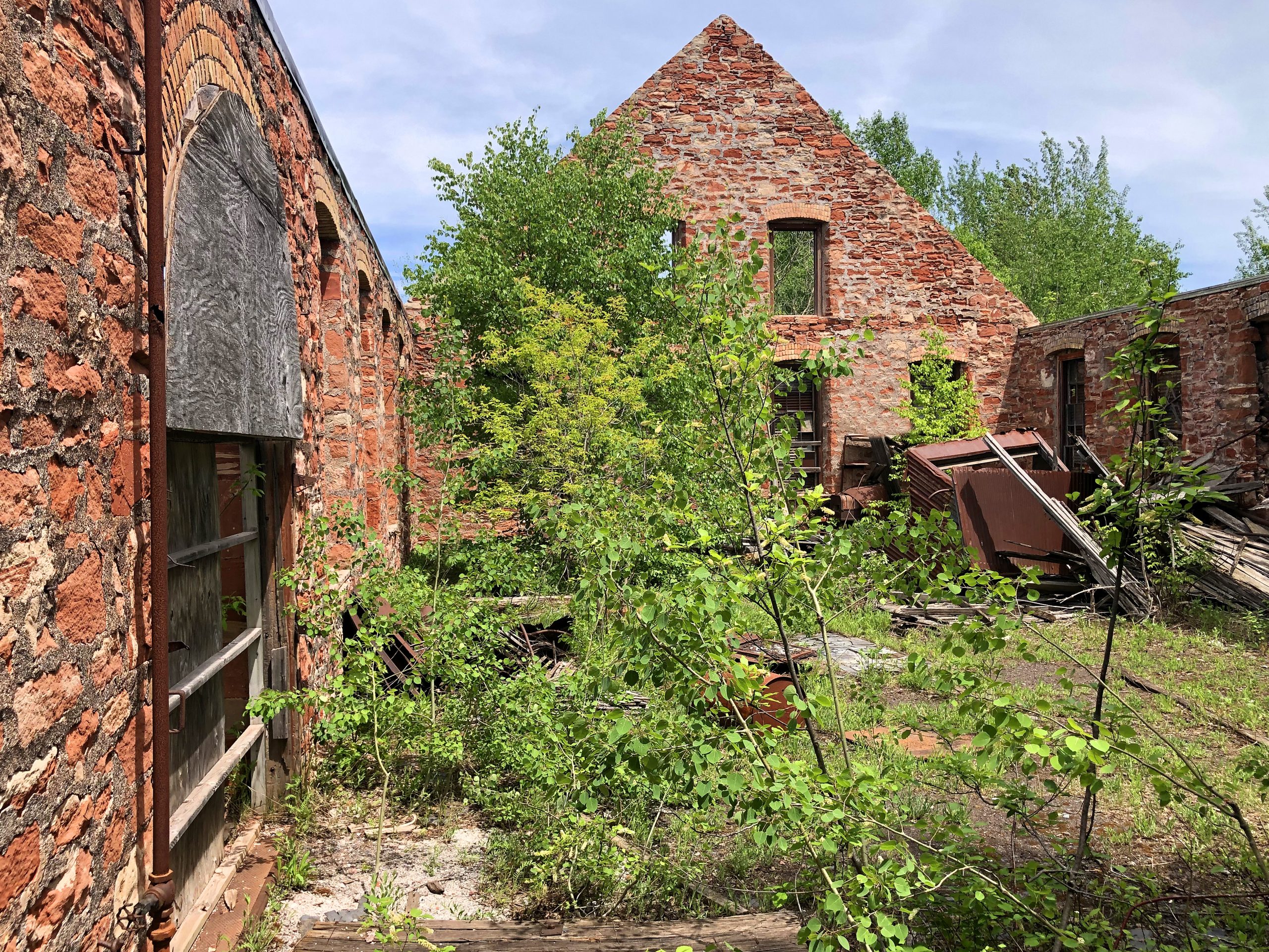
Further down the road, I remembered seeing some brick ruins (Keweenaw National Historical Park), the night before on the way to the campground. I wanted to find it again to photograph it in the daylight. It was a beautiful area with sweet smelling Lilacs all around. BUT, I got destroyed by biting flies! ![]() They are EVERYWHERE! I kept my exploring short because I had had enough…Everything was bleeding, stinging, and itching.
They are EVERYWHERE! I kept my exploring short because I had had enough…Everything was bleeding, stinging, and itching.
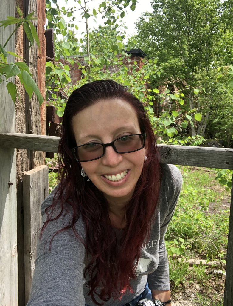
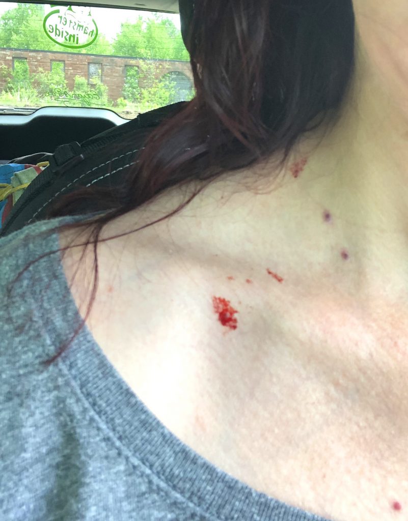
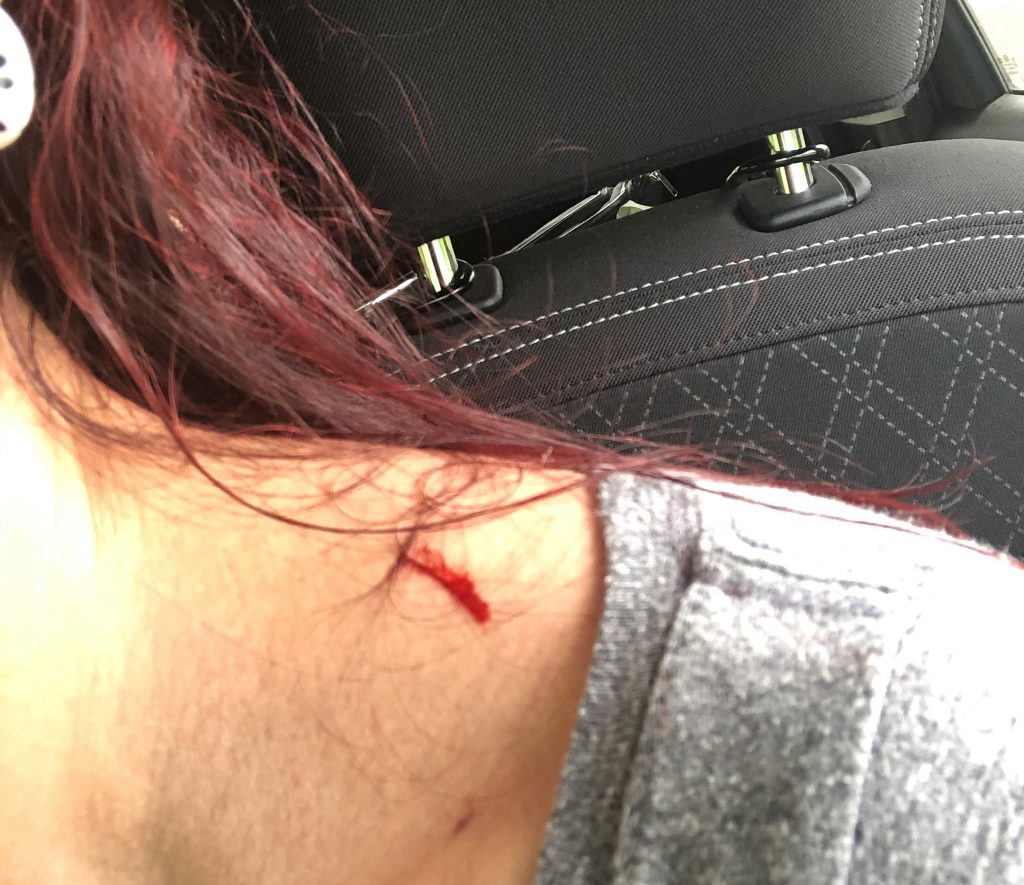
I wiped off the blood and continued on my way. I went from freezing temperatures last night to 90° when I got off of the peninsula and then 7 hours away in Lutsen, MN it was back down to 58° and full of mosquitoes. But, I met an adorable, curious red fox on the side of the road there. He was digging and playing in the dirt. I stopped immediately. He noticed me and trotted towards me. I couldn’t believe it when he came over and sat next to my driver’s side door and starred at me curiously. He itched his ear, looked me some more and then, I guess he got bored and casually trotted cutely away. EEEEE! I followed him in my car for awhile to make sure he was far away from the main road and then I left him.
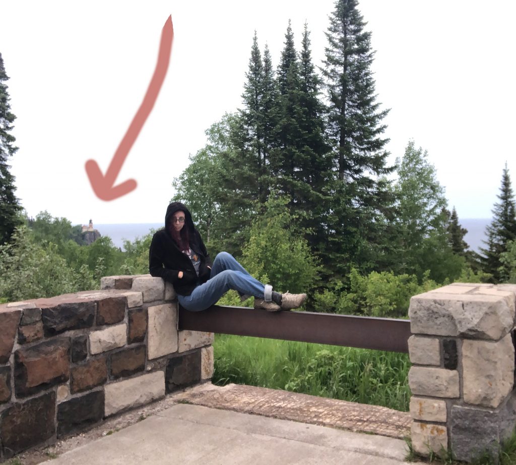
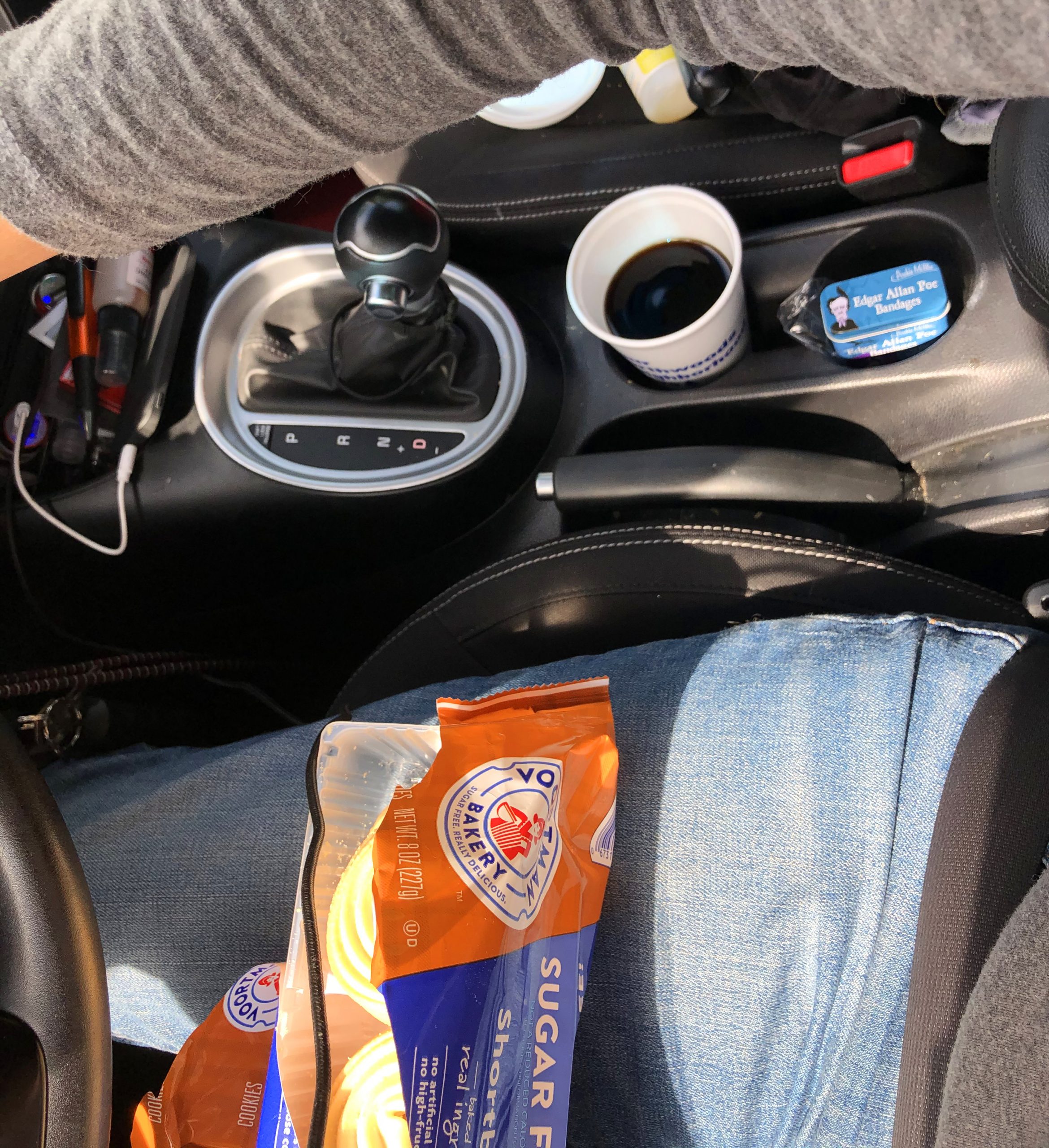
I wanted to try and find a place to camp right before Eagle Mountain (Minnesota’s high peak), but what I ended up finding was lots and lots of dirt roads, no GPS and absolutely nothing in the way of food or lodging…or ANYTHING. I got a little nervous that I wouldn’t find civilization before sunset. I had been car snacking only all day and was ready for a real meal, but what I got was a gas station dinner. Haha!
So, since I lost GPS, I kept going towards Eagle Mountain. But, then there it was! I thought I had an hour more to go, but GPS was dead and I was confused. I thought about camping outside of Eagle Mountain for half a second, but then I remembered I wanted food. As much as I didn’t want to leave the area once I had found it, I went past it and followed signs to a town called, Grand Marais. After 8 hours of driving, I somehow found a quaint little cabin to stay at, called Nelson’s Traveler’s Rest, 40 minutes past the high point. Since everything was closed in that tiny town by the time I got there around 9, that’s when I got my last resort gas station dinner and settled in. I barely got that! The gas station was getting ready to close at 10. I turned on the heat in my cabin (yes, heat!), ate cheese and crackers in bed and fell asleep.
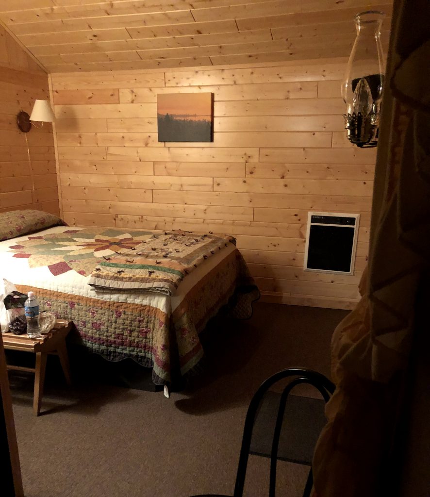
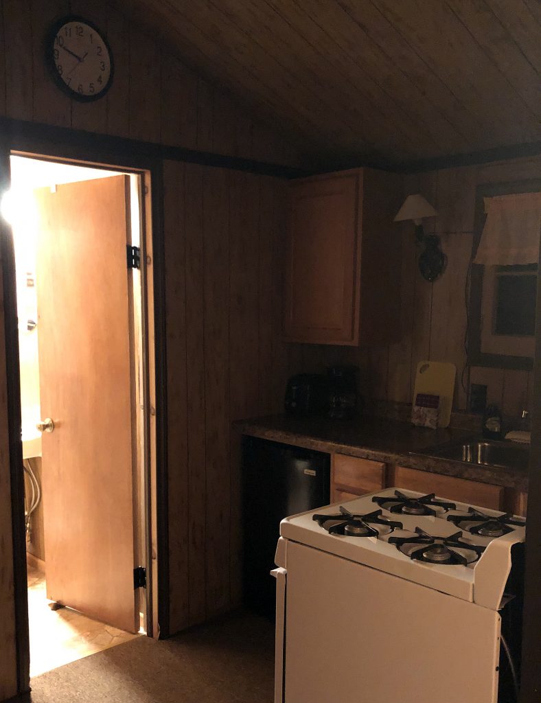
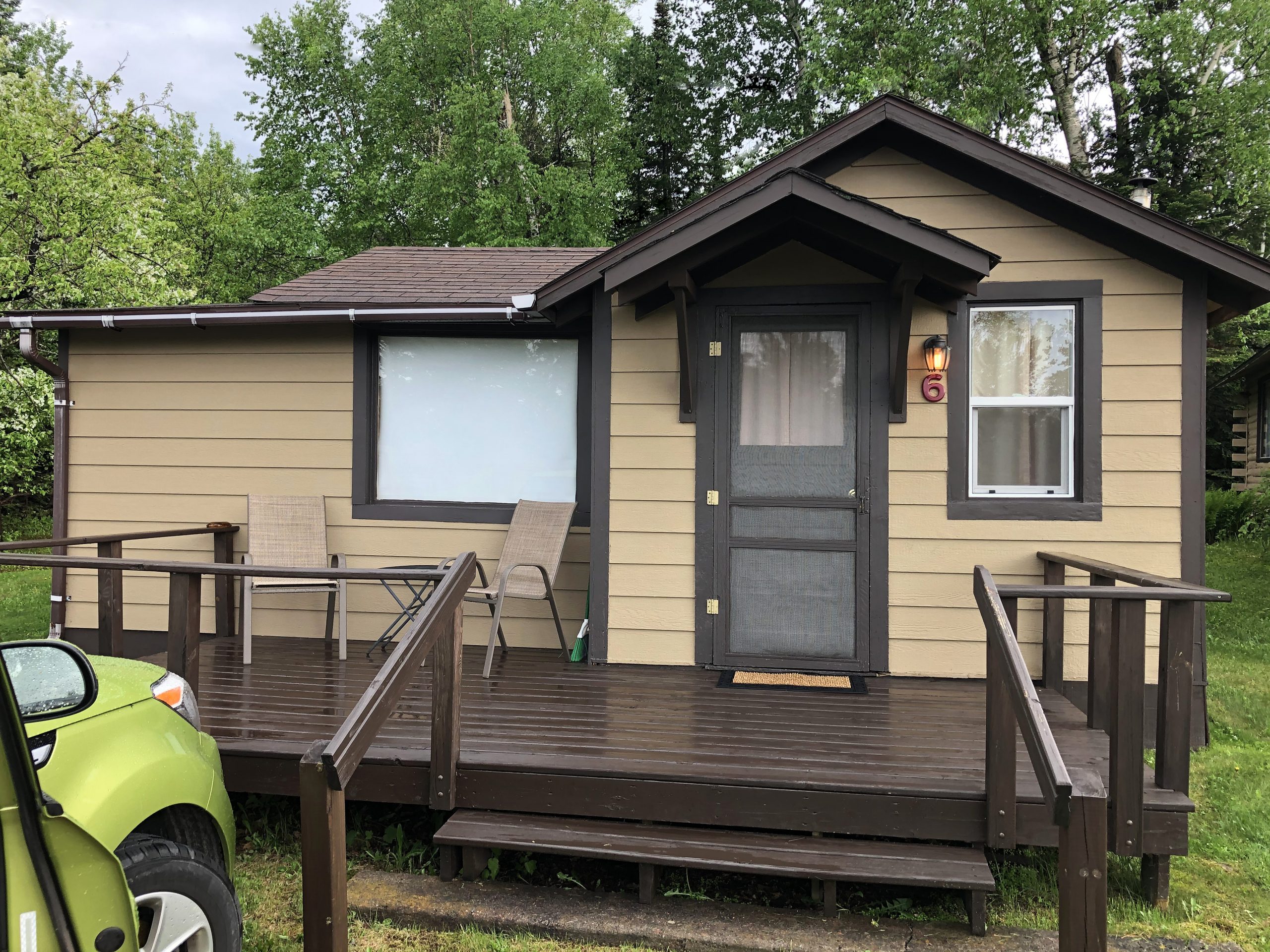
RED’s log day 6, June 10th: Check-out was 10 AM and I was showered and out by 9:30! The shower ran a little red because of all the dried blood on the back of my neck and scalp.

Would have liked more sleep, but I slept like the dead for the 5 hours I did get. The lady at the cabin asked me if I was still climbing today because it rained hard overnight and was still a drizzly day. She said that if I didn’t make it, that they would have a cabin for me for that night. As least there was that!
I decided to go 2 minutes up the road and have a big breakfast at South of the Border Cafe’ and wait out the rain a bit. I told the waiter dude what I was planning and if he thought that was crazy in that weather. He just said that I could do it, but the bugs will be even worst than normal because of all the rain they just got. He said he has done Eagle Mountain and the stories I’ve heard about the bugs being bad are all true. So, immediately upon finishing breakfast, I went next door to a hardware store. While checking into the cabins the night before, I told the guy that my friend, Berna said that I should think about getting a mosquito shirt and hood. He confirmed that that was a great idea and that hardware store in town would probably have them or another place in town. Hardware store was sold out (haha), so I went further down that same street and got one at Stone Harbor Wilderness Supply. I think it’s cute that the directions I got were so detailed for a place I could almost see from where I was at. I thought it was so far away by how he was talking. Oh, small towns. So cute!
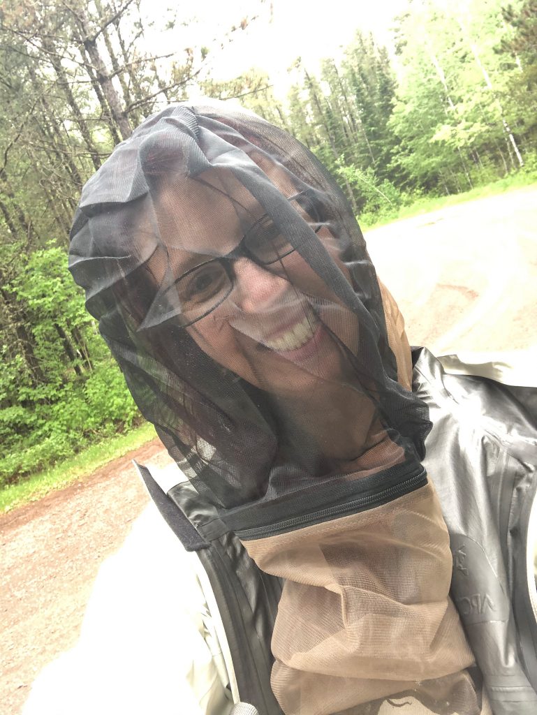
So I put on my bug shirt and set out onto the miles of dirt roads again. I told my friends that I would soon loose service again and that I’d check back in once I was safely off of the mountain and back in cell range.
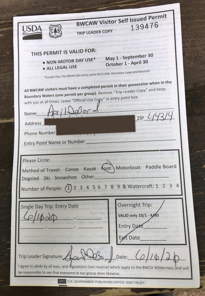
Once I got up to the sign to fill out my day permit (which is needed to have on you the entire time in these woods) I read a sign that said Eagle Mountain in Minnesota is the ninth most remote High Point in America!! Note to self: look up what the 1-8 are! This mountain was the longest, as far as hiking mileage, to get to the peak and the most beautiful and rewarding. It was 7 miles. I haven’t done 7 miles+ for about three months. I was training for a trip that I was going to take out west to do Colorado and Utah’s (31 miles!!) high peaks. But when the Covid quarantine started, I had to cancel that trip and I stopped working out completely. I got depressed. I was training so hard, so to have to cancel that trip that I had been planning for 2 years, was super rough. In order to combat cabin fever, I decided to plan a trip closer to home and I’m so happy I did!
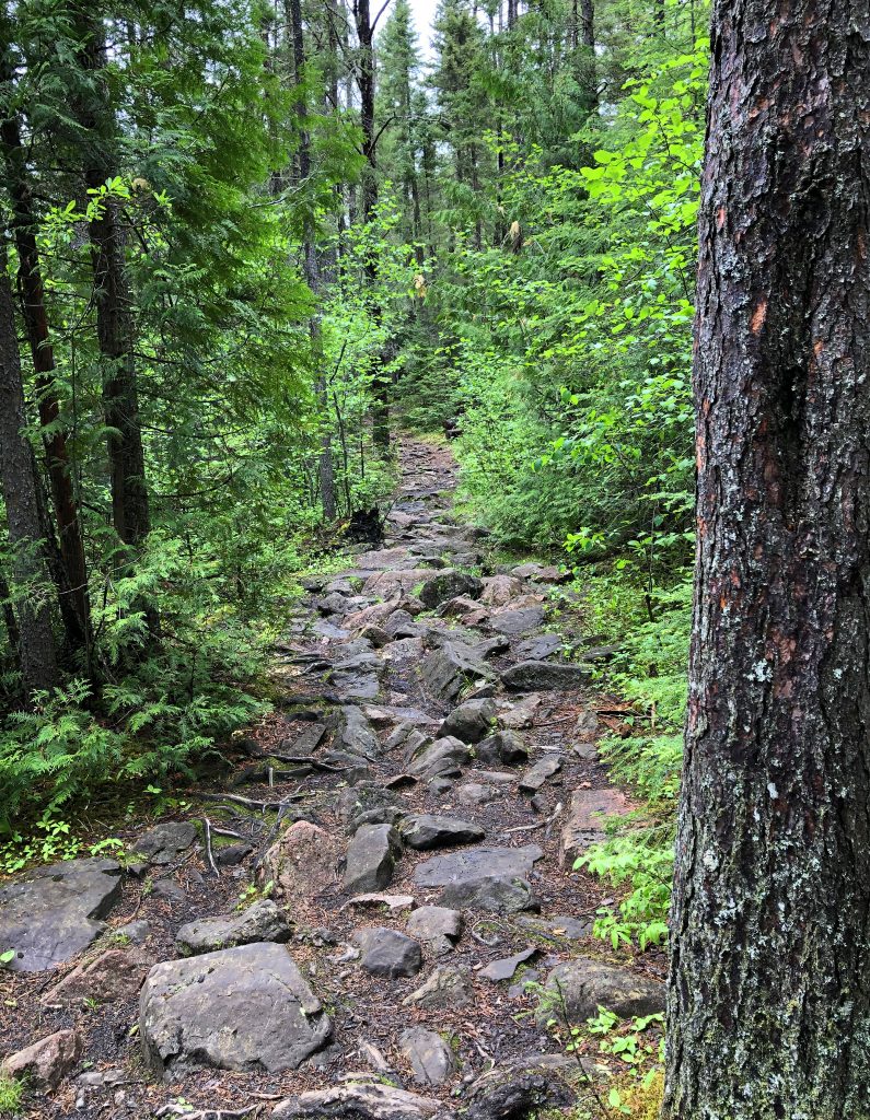
I figured these would be 5 “easy” high points, so I did not train at all. I just very spontaneously left on this trip. Now, don’t get me wrong, I had researched the hell out of these high points previously knowing I wanted to do them soon-ish, I just didn’t know when the travel ban would be lifted. So, the fact that I made it 7 miles, by myself, in the rain and up a very Rocky Mountain today was super thrilling! I couldn’t be more proud that I set out to do these 5 high points and I made it safely to all of them! I’m a bit bruised from some slips on wet rocks and most definitely eaten up by black biting flies and mosquitoes, BUT I DID IT!
Did the bug shirt work?! YES! This will be something that I will keep in my backpack always! I had the hood on and zipped up in the beginning, but I quickly realized that it limited my view more than I felt safe on the millions of slippery wet rocks. Also, it made it hard to see take photos. So, for most the the trek, I had the hood unzipped and pulled up out of my face. It still protected me from getting attacked from the back of the neck and head and the shirt protected my arms, back, etc. There were a few moments where I completely hooded up again because I went through some really buggy pockets. I just loved that I had that option! Why have I never gotten one of these!? It most definitely made me less miserable. Even though, the moment I would stop and pull my camera out of the dry bag to take photos, I got destroyed! Can’t stop; just keep swimming!

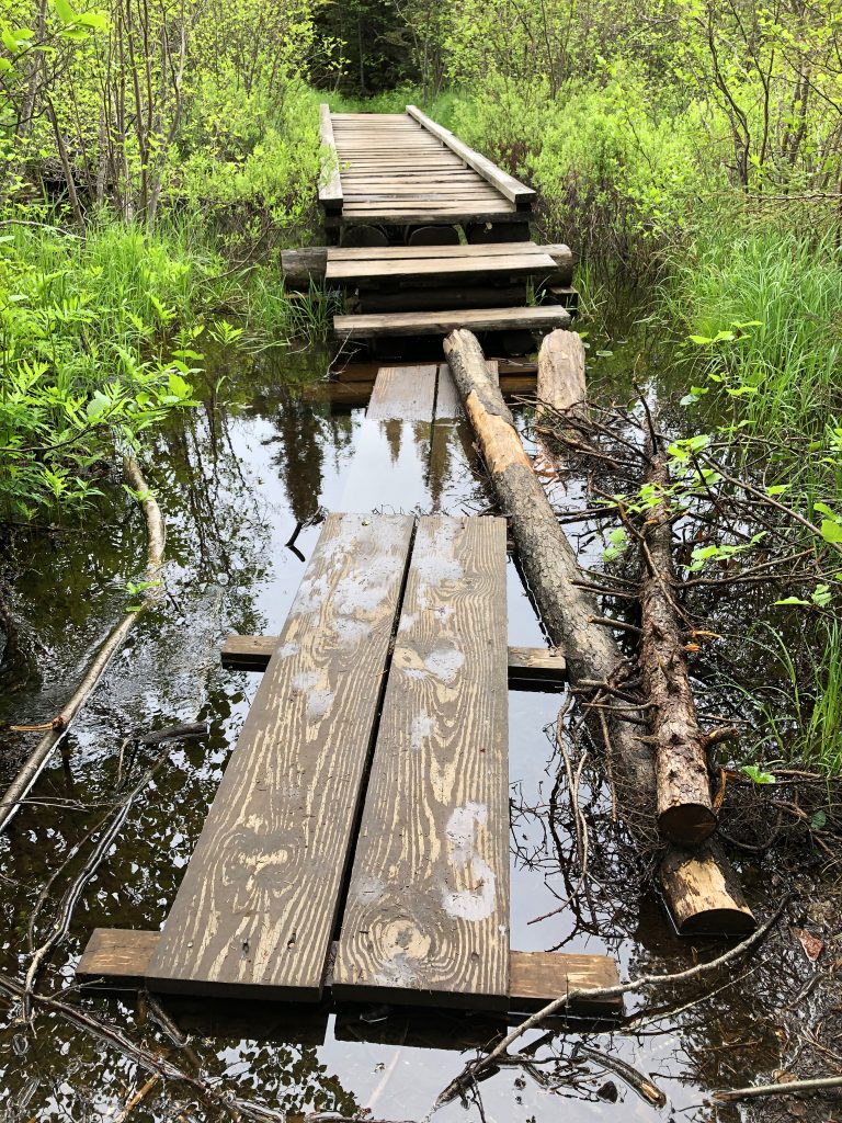
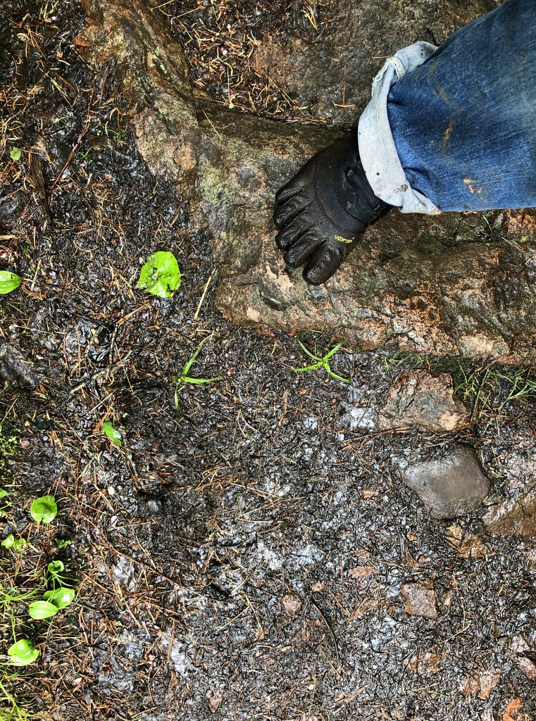
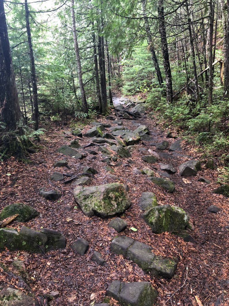
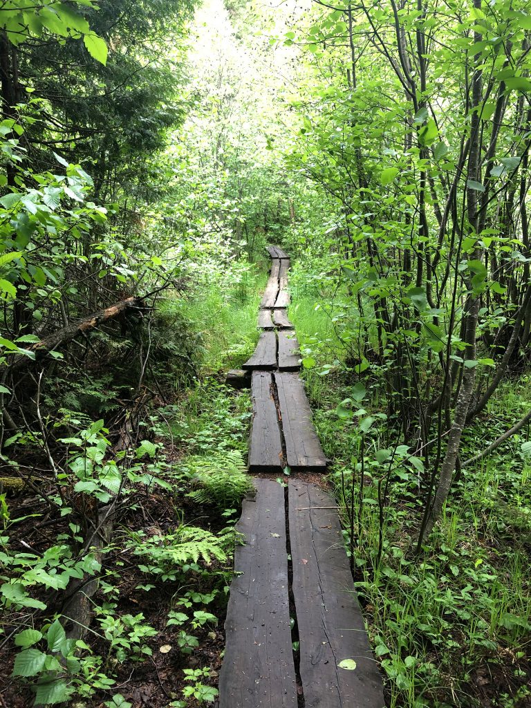
This is another mountain where one just gives up on having dry feets. Very early on, my feet got wet walking across a small board. The point was to walk across the water, but the rain had made the water levels so high, that it was futile. The boards sink and many are partly submerged already before you walk on them. Just FYI.
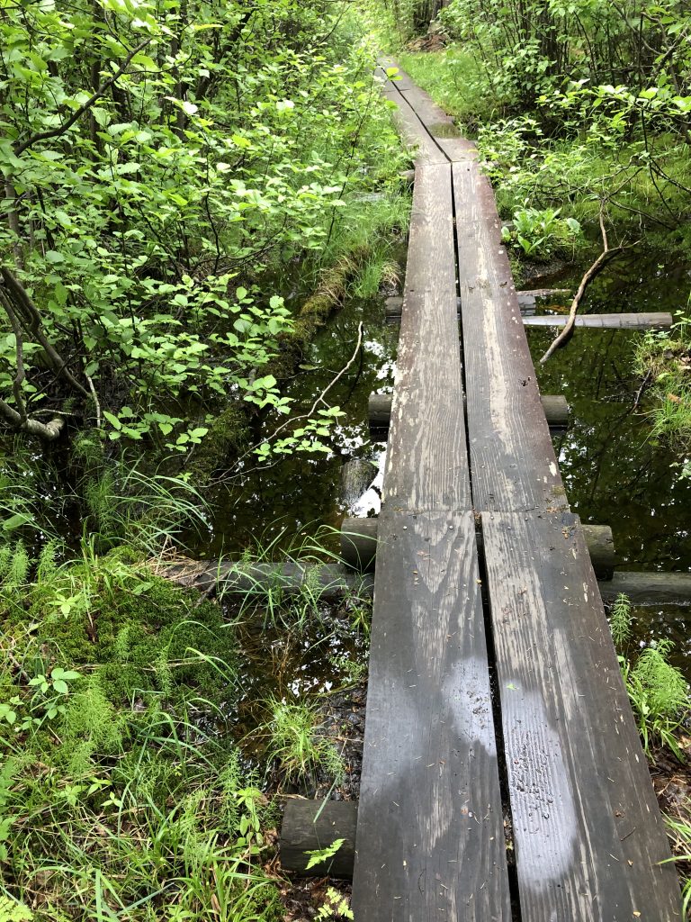
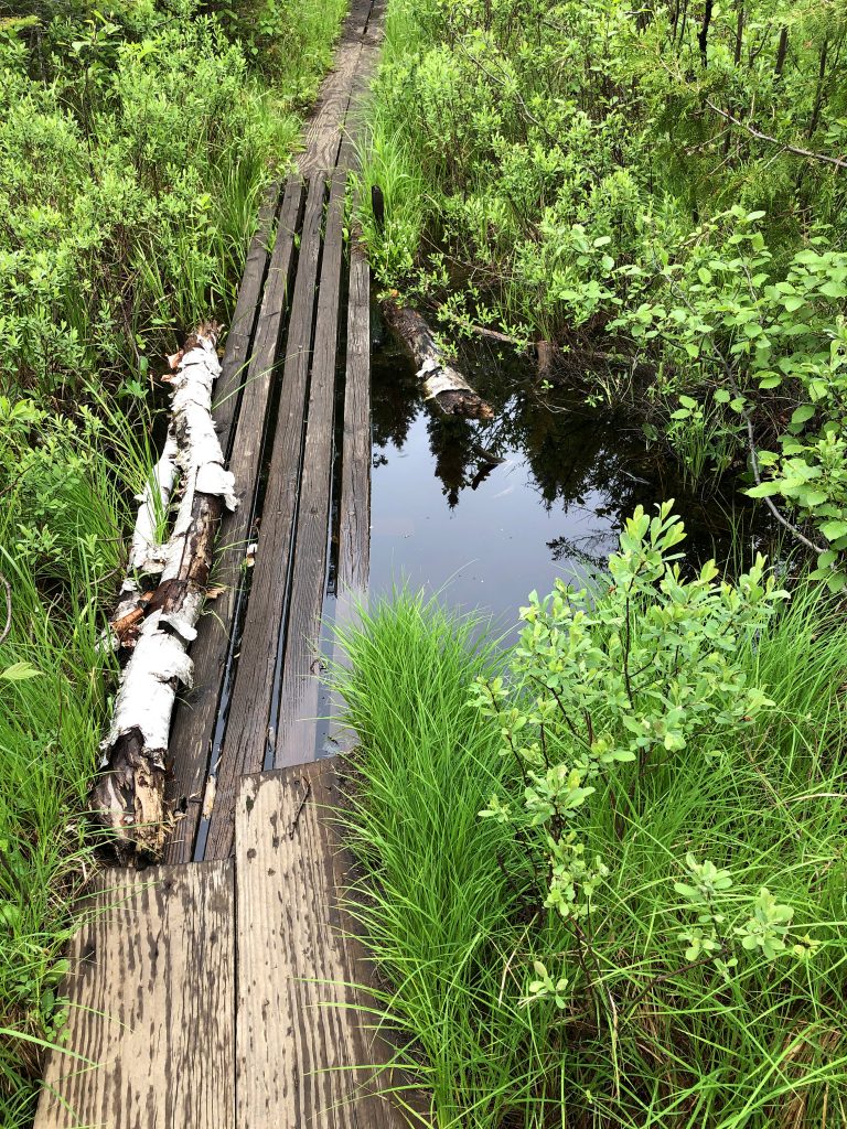
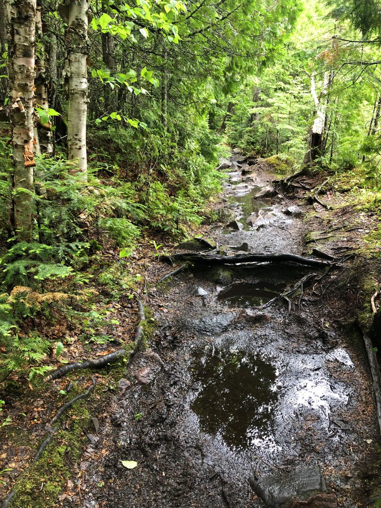
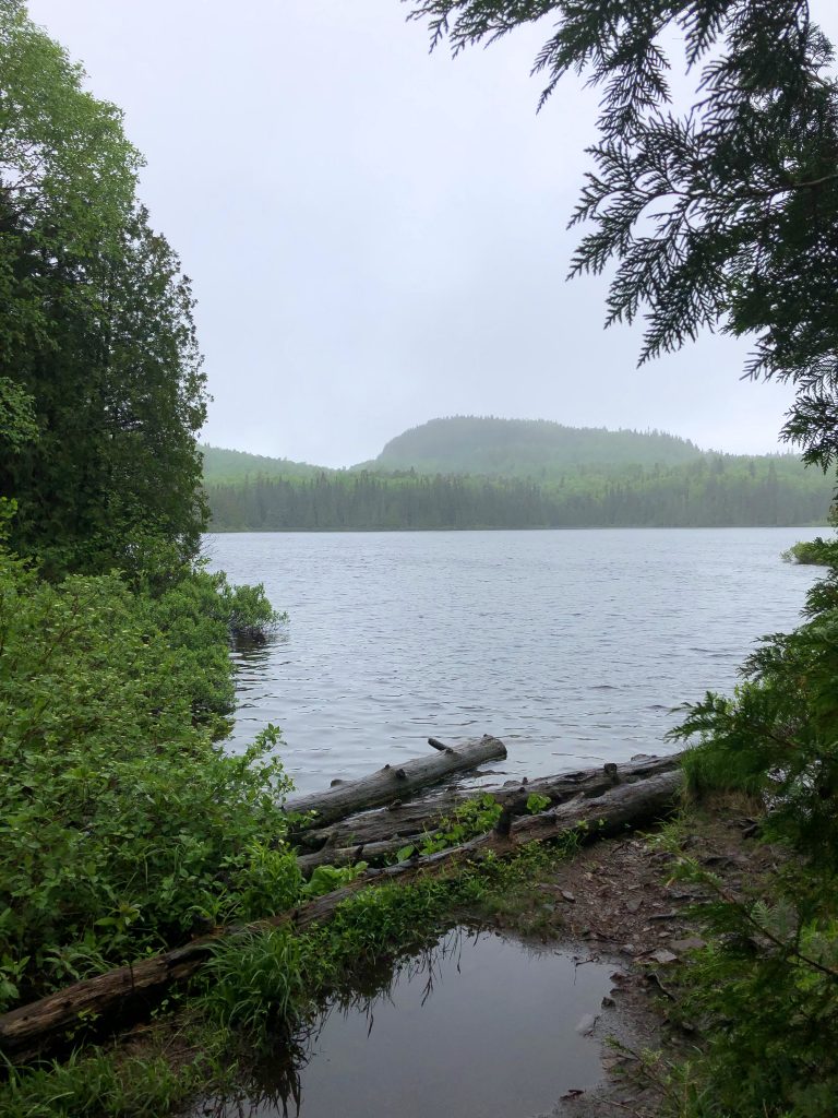
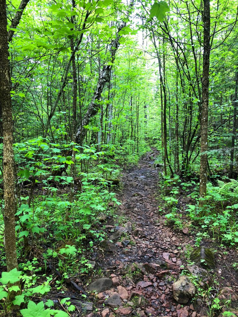
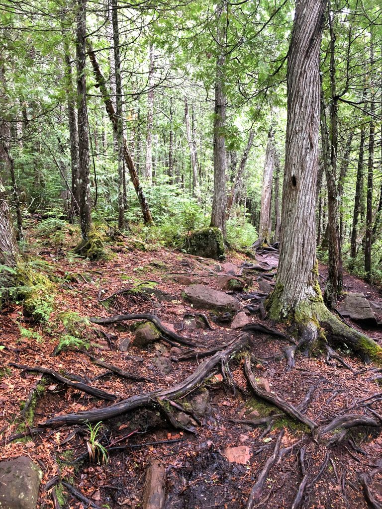
I was alone for some time until I got close to the top. I remember thinking that I was happy that there were cars in the parking lot, so I knew I wouldn’t be completely alone, but it took me a little bit to see them. Party at the summit!! Haha OK not really. I saw a few couples coming down as I was heading up. I was surprised to see as many people as I did on such a wet day.
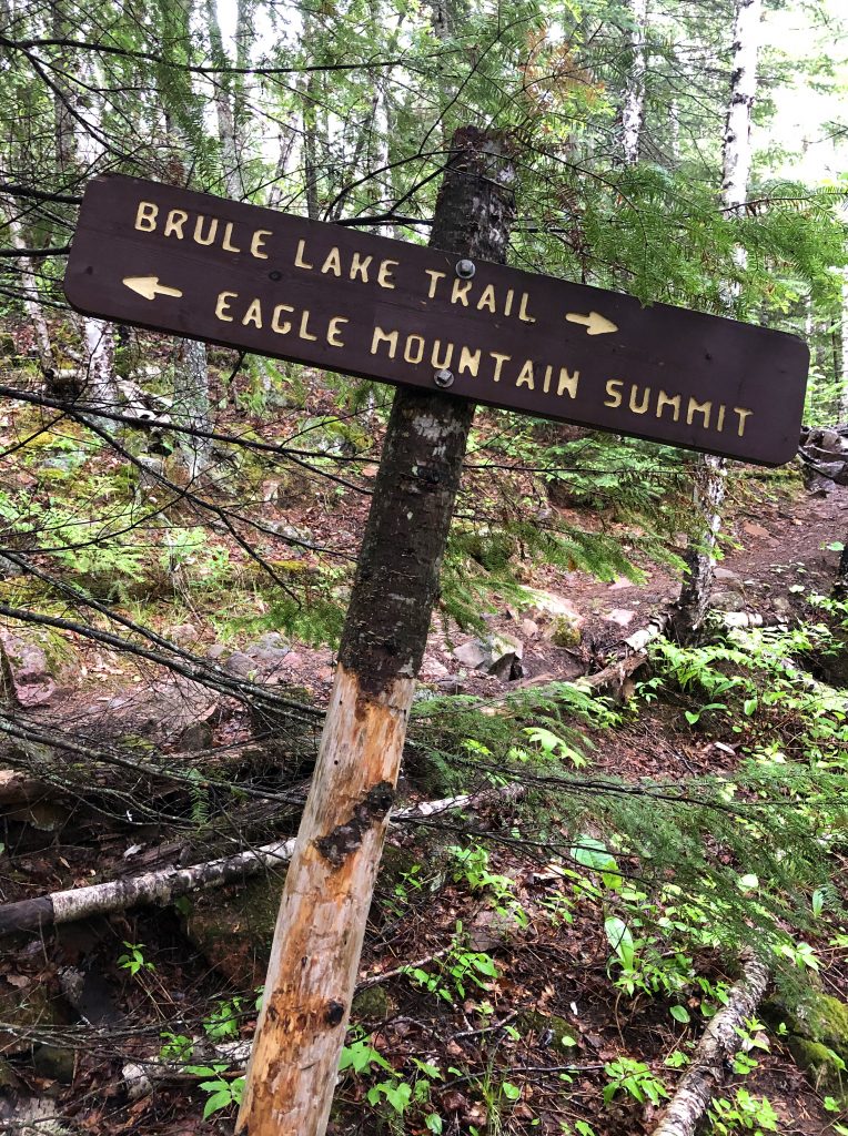
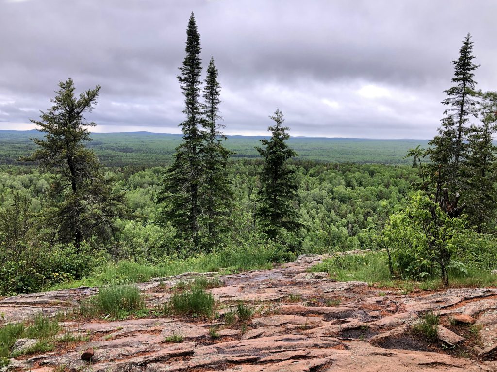
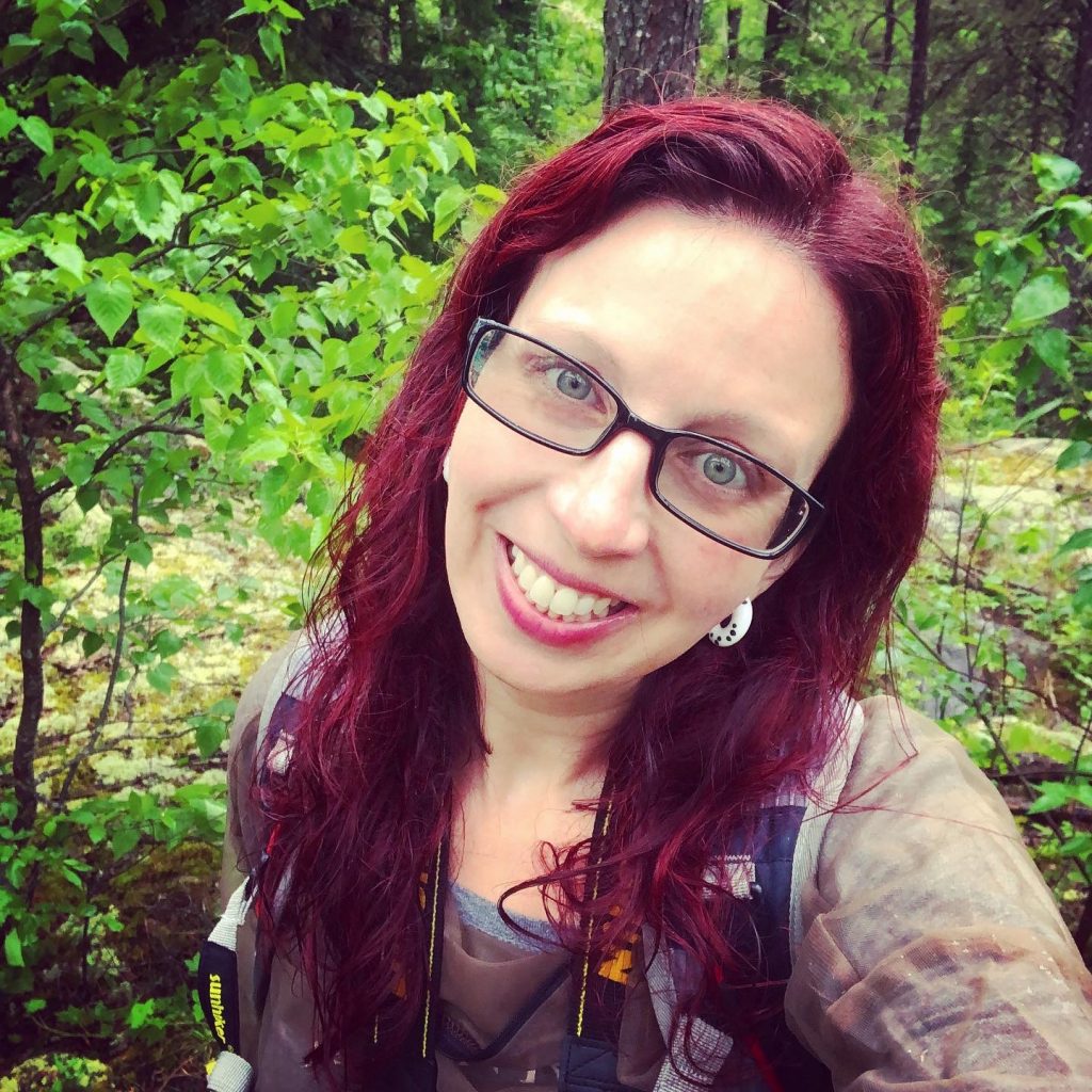
When I was about 20 minutes from the summit, 3 guys were coming down and gave me some great information in passing. They said they didn’t know this either and someone passed along the information to them when they were heading up. So, there is the view once you get to the top, but in order to get to the white sign-in box and the sign, you have to go a bit further. Nothing I read mentioned this. There are a few tiny little “paths” all around the summit, but they told me to go further past the view and up to the right. It did not seem right because it was such small “trail” and there were no signs, but I kept going. And just when I was thinking I had gone on the wrong route, there is was! It was glorious to see my 5th state high point! State High Peak #9 and my final one of the trip!!! I did 5 in 6 days! The day before was a long driving day as well as the first day. Then, I did two High Peaks in one day.
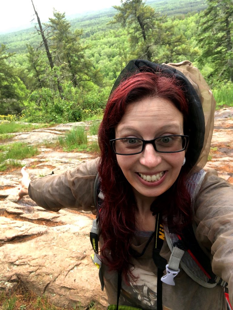
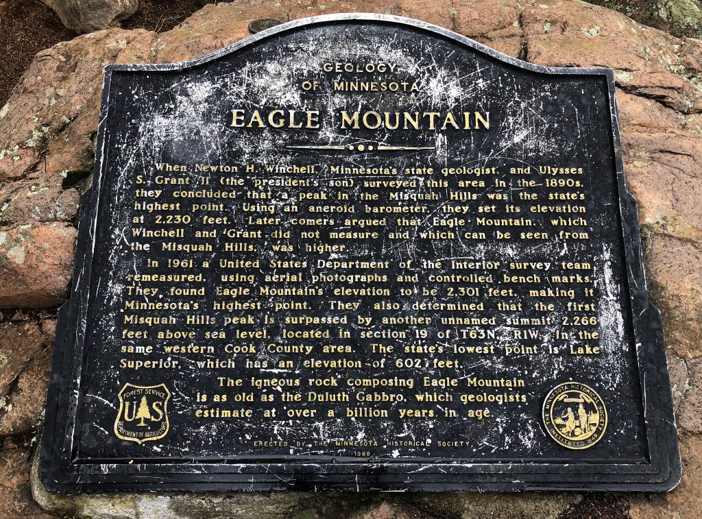
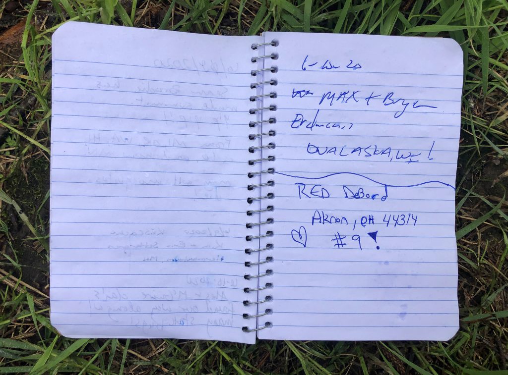
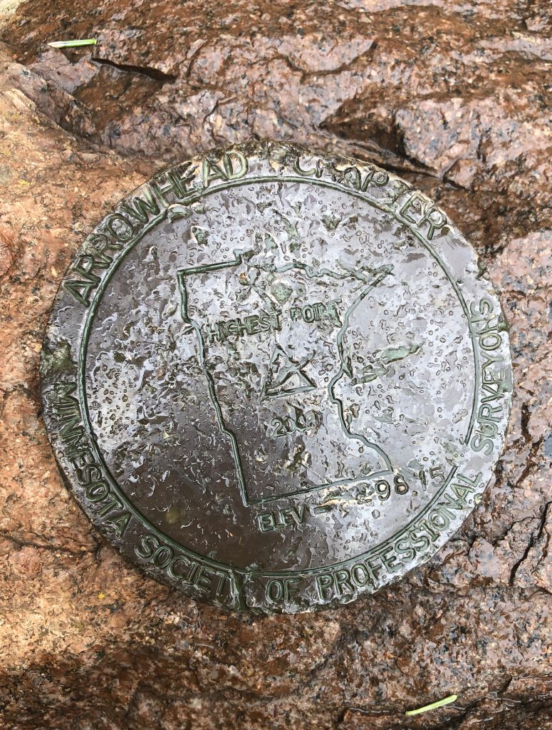
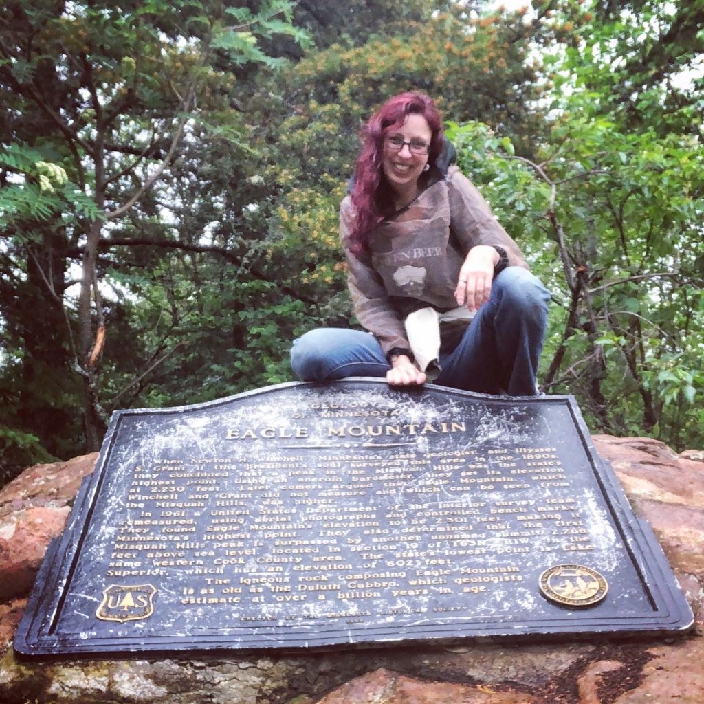
I had to set up a self-timer on a mini stand for this one and
I got eaten alive for it
So, just like many of the other high peaks, I had no cell service until I was at the summit. Like before, I sent a photo to my friends and my parents and enjoyed the view. It was amazing up there! I couldn’t stand still for too long, though because the bugs would swarm immediately!
My buddies were telling me that I need to get to Betty’s Pies and have dinner and obviously pie, so I trekked down the mountain quickly. CHERRY PIE WAS CALLING! I called Betty’s before I lost cell service and realized that it was not going to happen on this trip. If I would have started earlier, I could have made it, but I was taking my time getting going because I thought the rain might stop. It really didn’t anyways. ha! Story of my life.
I made it down Eagle Mountain after just under 4 hours and 7 miles. That 4 hours seemed to go very quickly. I just loved every second. I kept stopping to take photos and admire how beautiful and green it was there. The light rain really didn’t bother me.
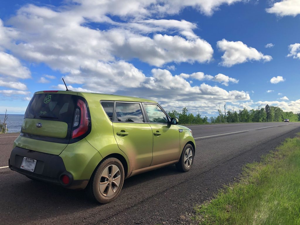
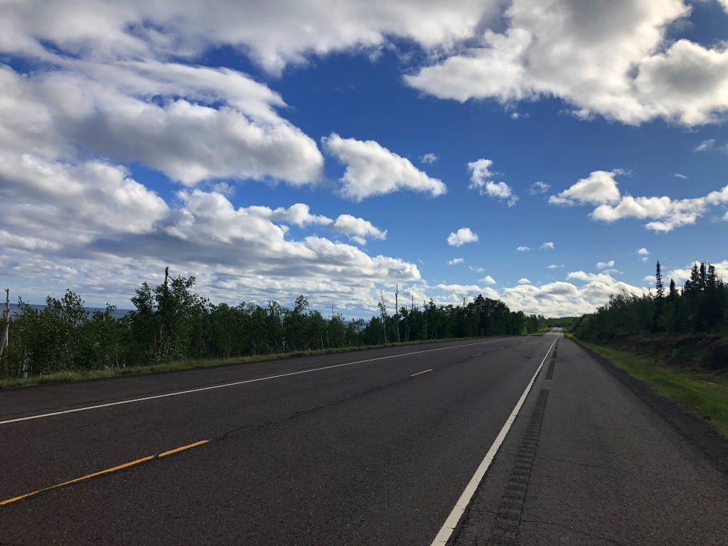
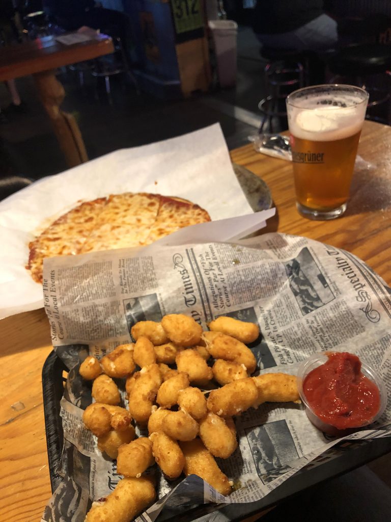
Betty’s Pies was an hour and 44 minutes away from the mountain and closed only about a half hour before I flew past. So close! Meh! So, then I was in search of food big time after being teased like that. After sunset, 2 hours and 36 minutes away, my famished butt found Gronks Bar and Grill. I got a small cheese pizza with a side of cheese curds and a beer! All the cheese! I was back in Wisconsin, so I kinda had too. Then literally right up the road on E. Second Street, I lucked out and found a rest stop. If I would have known one was that close, I probably would have had another beer to help me sleep. I got there around 10:30 and was so ready to set-up my hammock and relax.
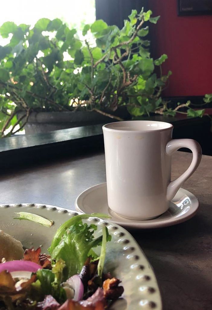
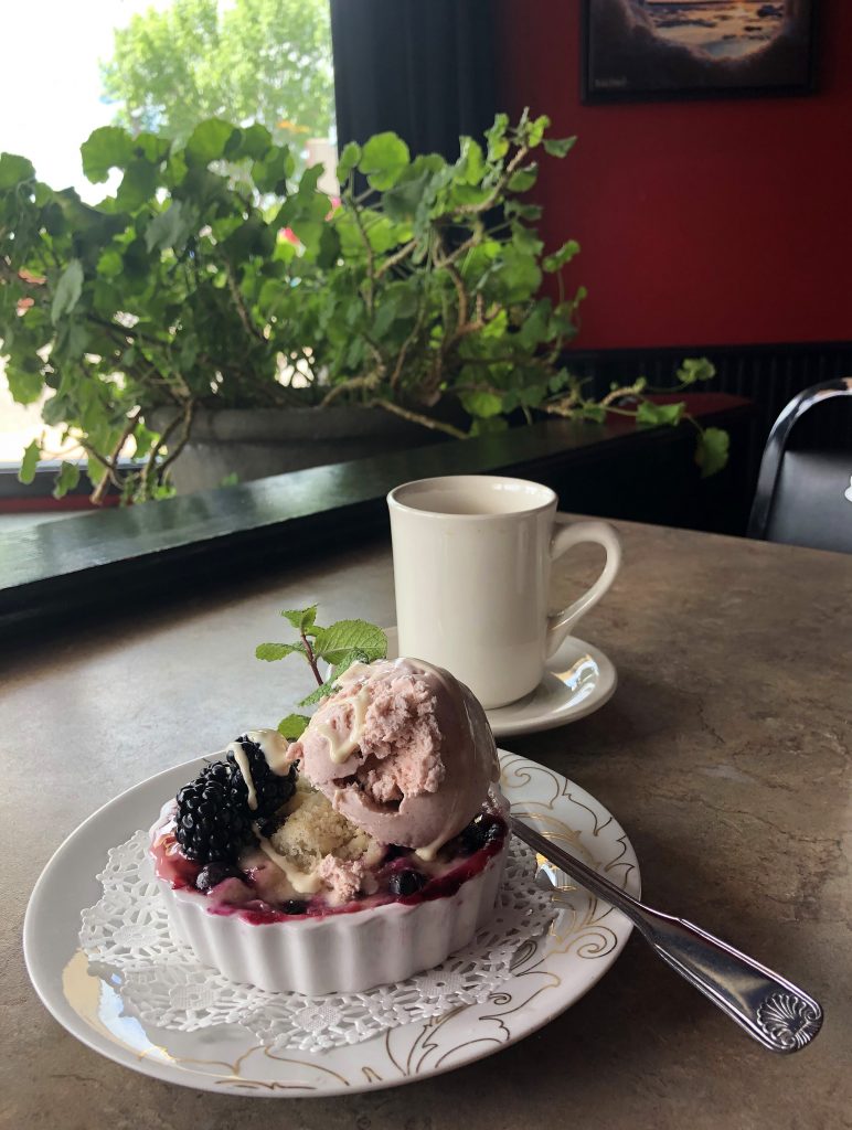
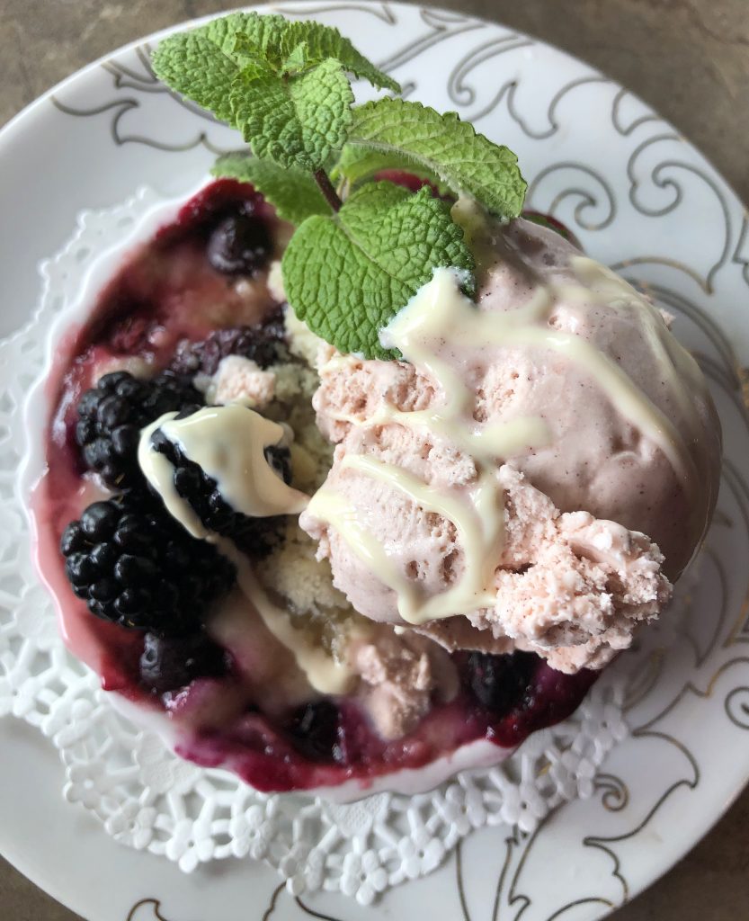
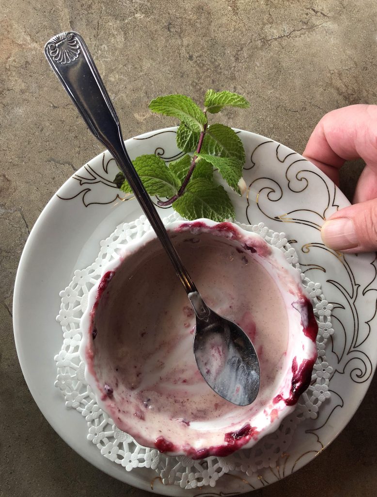
RED’s log day 7, June 11th: I slept like the dead in my hammock last night. Woke up at 9 ready to go! I tried to fix my humidity hair from the rainy mountain climb the day before and brushed my teeth in the rest stop bathroom. Drove a little over an hour to find breakfast, but found an awesome lunch and desert instead. Omg! A warm Cherry crisp with Cinnamon ice cream after a yummy salad!! The Second Street Bistro is cute and quaint with RED walls!
I crossed over back into Michigan around 2 and stopped at the welcome center for a pee break. I noticed my bug bites were very swollen, red, and they were itching like crazy! I thought I had a bot fly in the back of my neck because that one felt super big! It felt like something was growing inside of me, but my friend said that I was crazy and that they don’t exist in America. Haha! I guess I won’t get to be a Bot Fly mama after all.
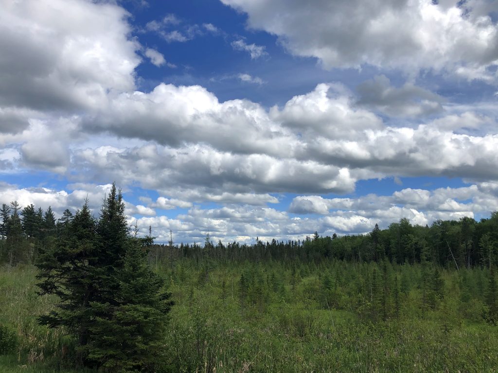
Today was not such a heavy driving day and it was nice to have a little break and ease my way back to Ohio slowly. I drove 3 and a half more hours (I guess driving a 5 hour day is still quite a bit haha) to a campground I had already found earlier close to Pictured Rocks National Lake shore. Once, I saw where I was staying for the night, I drove 10 minutes to a Mexican joint called, Sol Azteca. The dude at the campsite said that it’s pretty much the best Mexican food there.
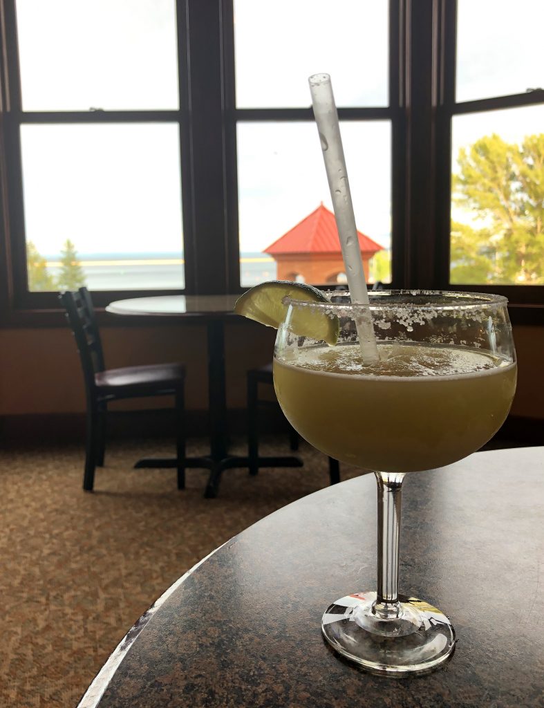
After waiting over an hour, in my car, just to be seated, I got another awesome window view. I was pretty lucky to keep getting seated by windows with great views of lakes. There was no way I was waiting outside in the cold like others were. I truly was not expecting it to be in the 30’s in JUNE, so I did not have enough clothes to be warm and the wind killed me. My hoodie was not cutting it. I needed my full winter jacket. I ran to and from the car to eat and quickly set up my hammock when I got back to Marquette Tourist Campground. I couldn’t wait to get bundled up in my 2 blankets. At the time I packed them, I thought it was overkill, but I really could have used another big blanket. The sunset over the lake was amazing as I pulled into my spot for the night.
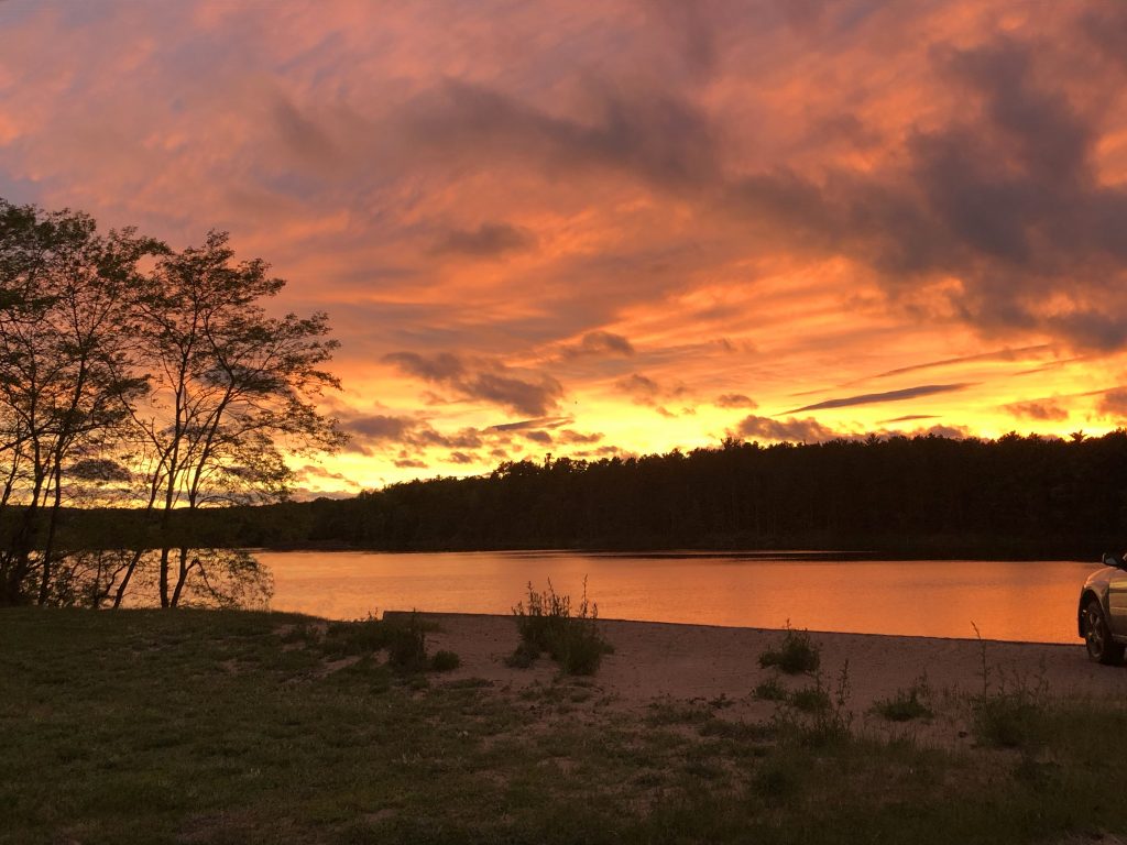
I woke up a few times in the middle of the night shivering. Inside my car, no fan on, windows shut completely, 2 blankets cocooning me…still freezing! Burr!
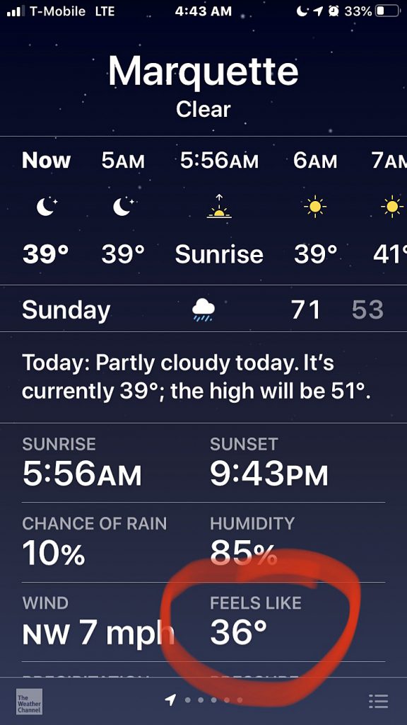
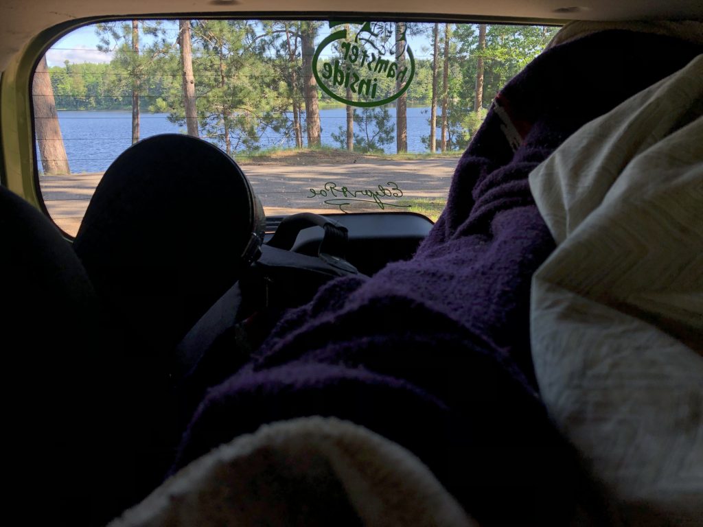
RED’s log day 8, June 12th: It was freezing camping by a lake! I kept waking up shivering. I decided around 9 that I should give up trying to sleep and just move, but i didn’t get in the shower right away. I didn’t want to move out of my cocoon. I knew I would be even more cold, but then I discovered that the shower room was heated! Ahhh! Once, I got all packed up again, I was ready to go find food. It was a beautiful day with a perfect sky. I kept stopping to admire the view.
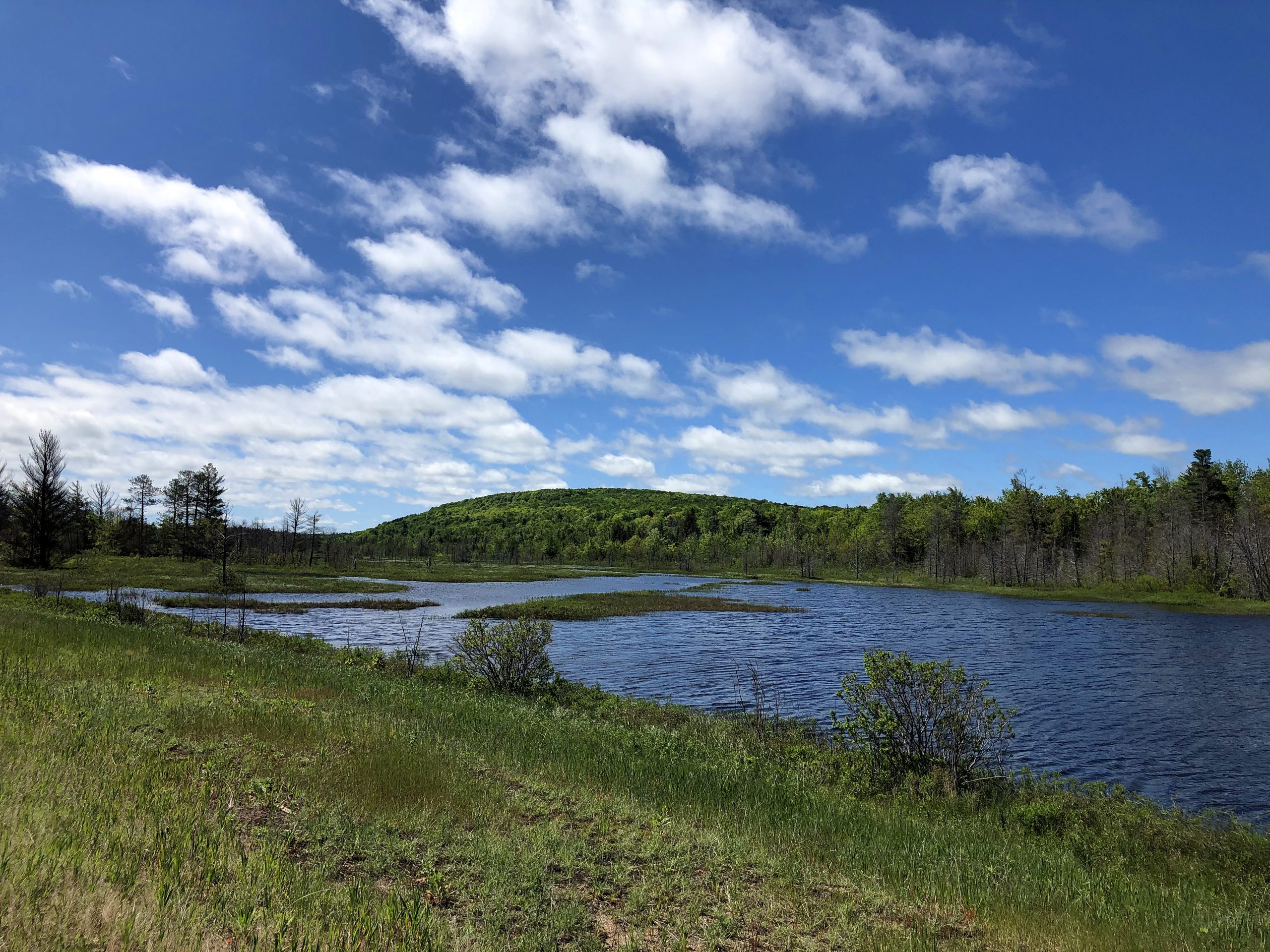
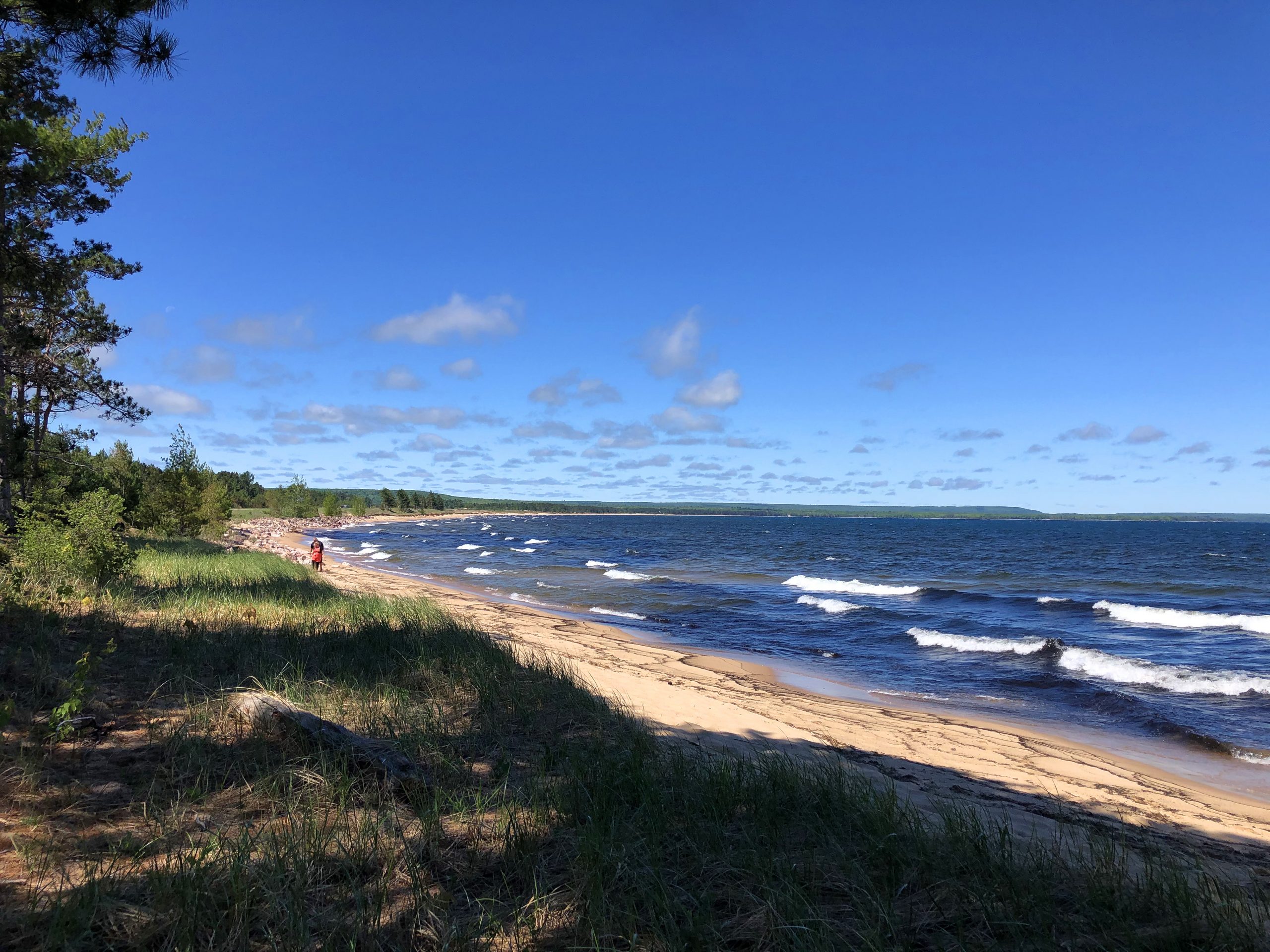
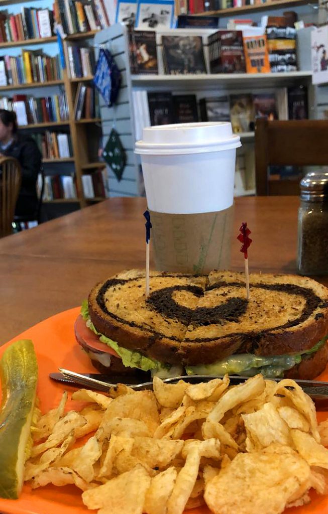
Once driving, It didn’t take me long to realize how tired I was. I needed caffeine. By Noon, an hour away, I was checking out a cute bookstore/art/cafe place that my friend recommended. Falling Rock Cafe and Bookstore was so cute, artsy, homey and Mmm good food! Once I was full and caffeinated, I headed out for Pictured Rocks Park National Lake Shore!
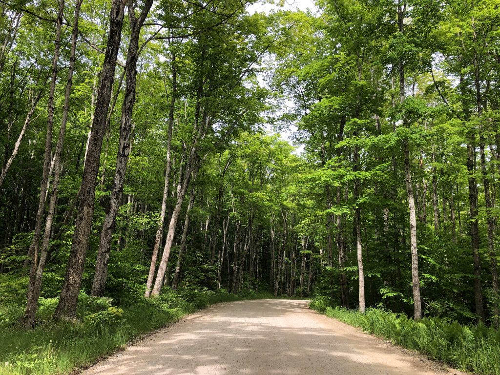
All day, it hardly got above 40° after being in the 30’s the night before. It was a pretty drive along the lake shore, but I had a hard time finding “Pictured Rocks”. GPS cut in and out and I ended up driving a long time in the wrong direction on tiny, rough dirt roads.
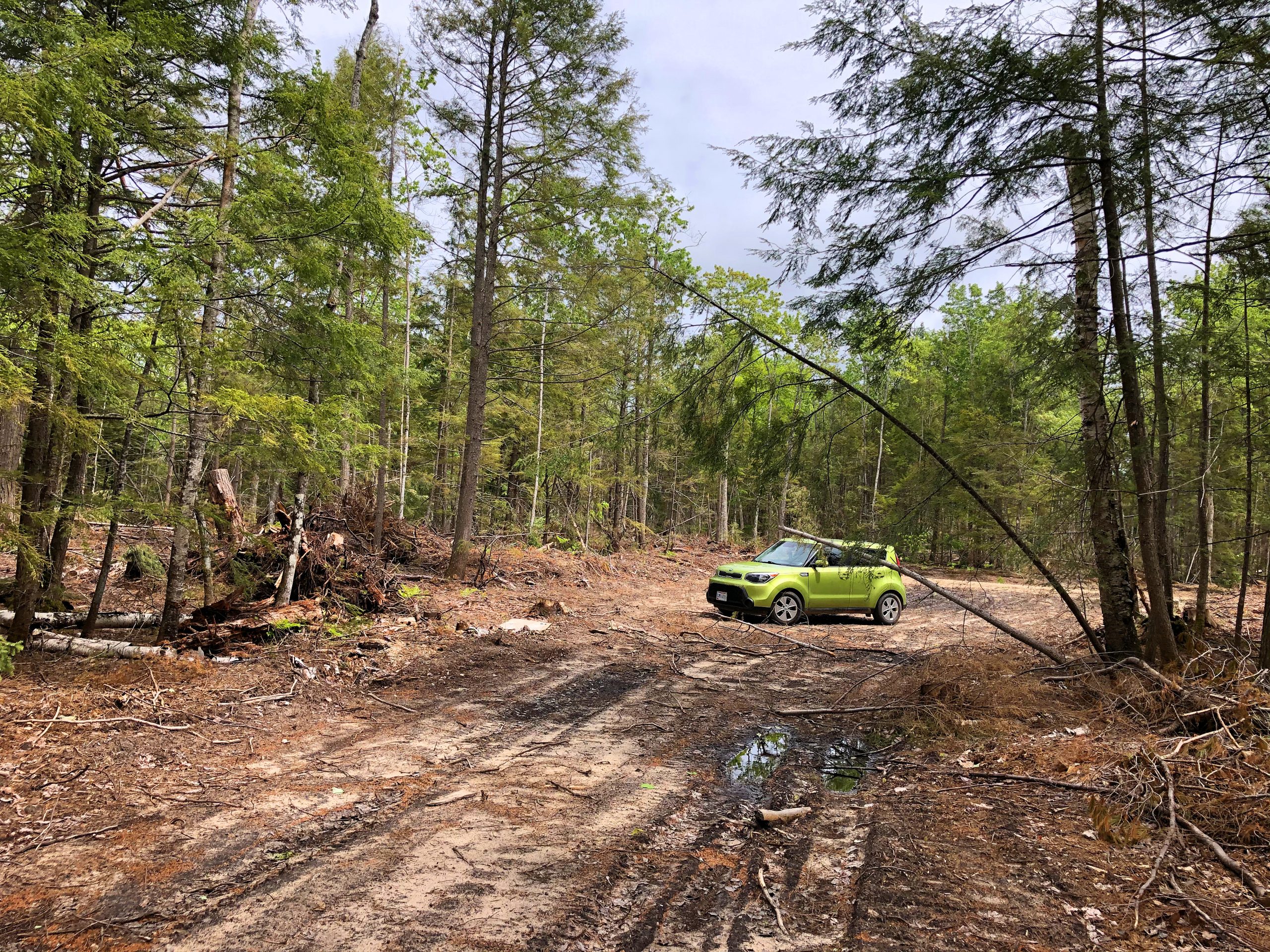
So, I peed in the woods.
When I didn’t have GPS, I even followed signs pointing to “Pictured Rocks”, but then spit me out in town again where I started! Apparently, Pictured Rocks is a bunch of scenic look outs along the long road along the coast instead of one park destination that I’m used too. It’s all along a paved road and I ended up turning onto a dirt road towards no where…thanks GPS! So, I was wandering for about an hour or more, then I found a look out and asked someone where the cliffs were. That is what I thought of as “Pictured Rocks”.
I was directed back many miles from where I just came from. I was feeling discouraged and sleep deprived. On the way back towards the cliffs, I ended up seeing a sign for a couple mile hike to see Miner’s Falls, so on a whim, I took it. I’m glad I stopped to take the pretty hike to the large water fall. It was good to get out of the car and hike.
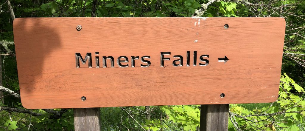
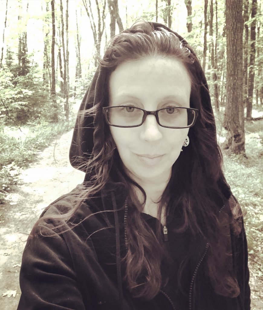
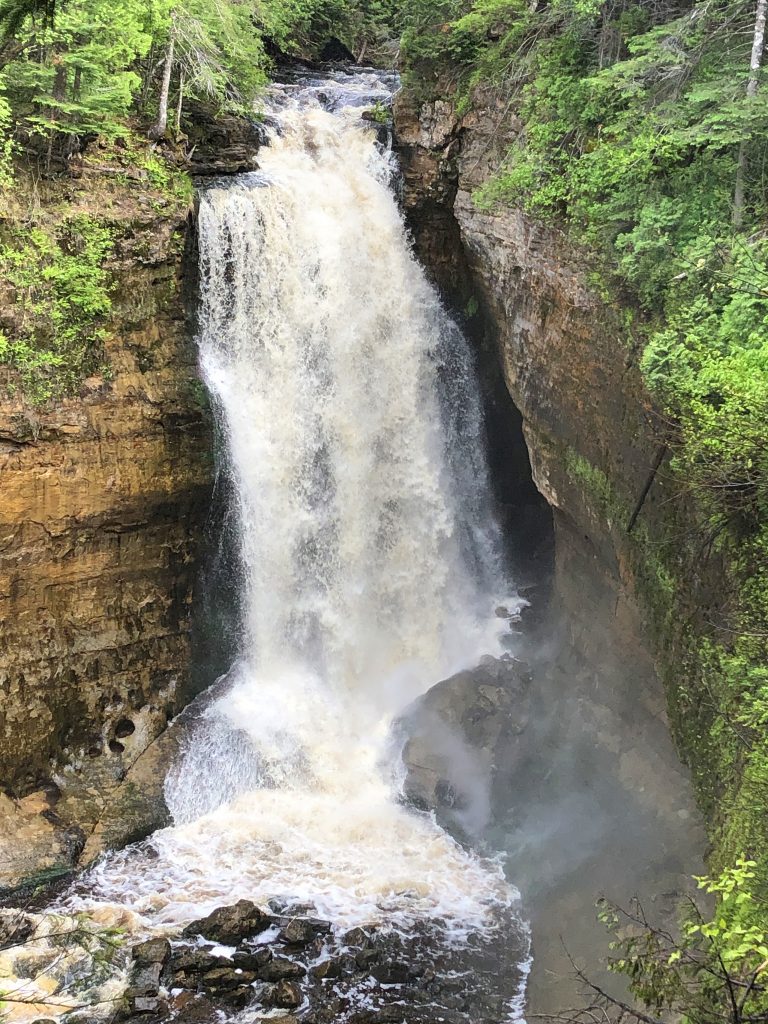
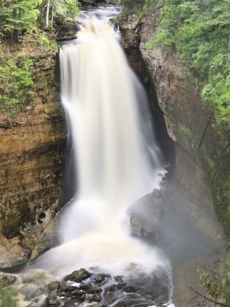
According to the signs, it looked like the cliffs were just past the falls…and they were! There was a small boardwalk walk to a look out point for the most photographed Pictured Rock view. The water was clear, but I heard a guy next to me tell his friends that is was a little murky that day because of all the wind.
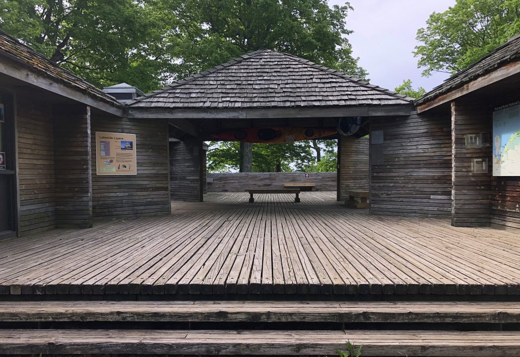
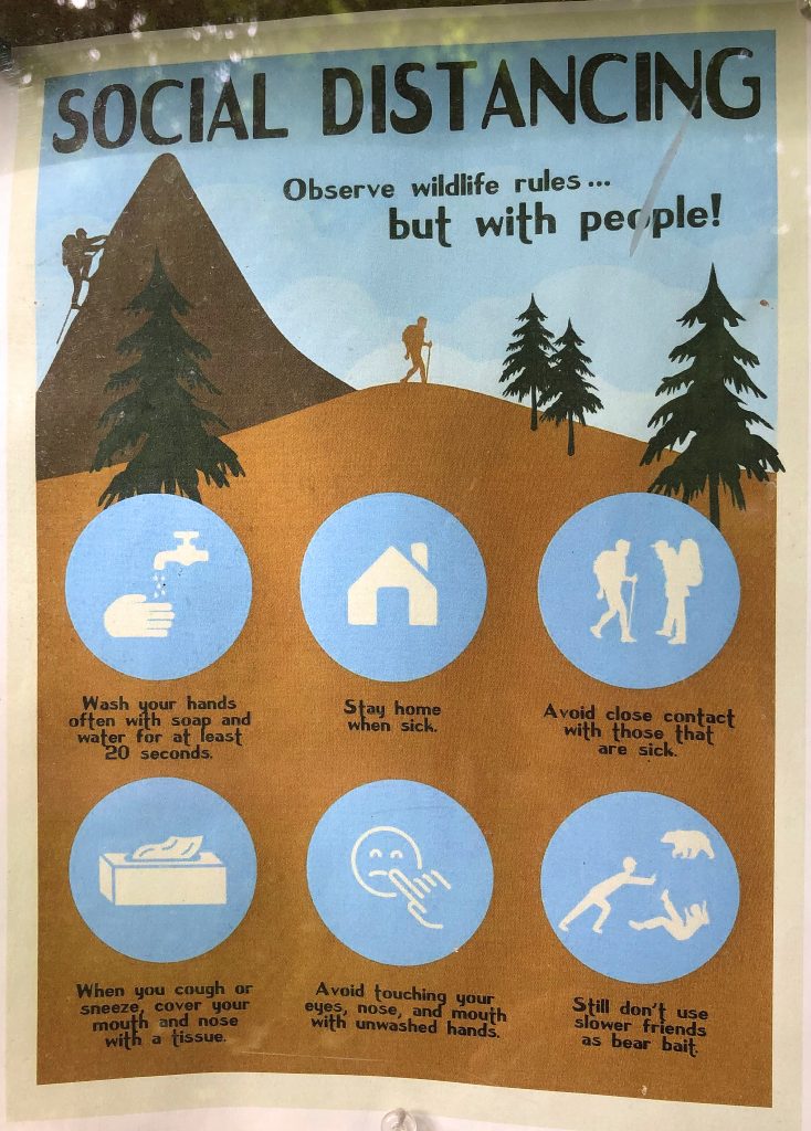
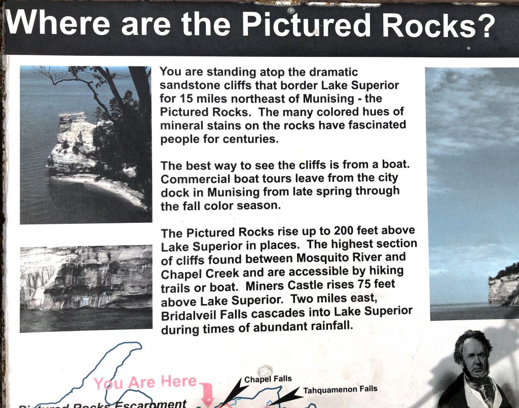
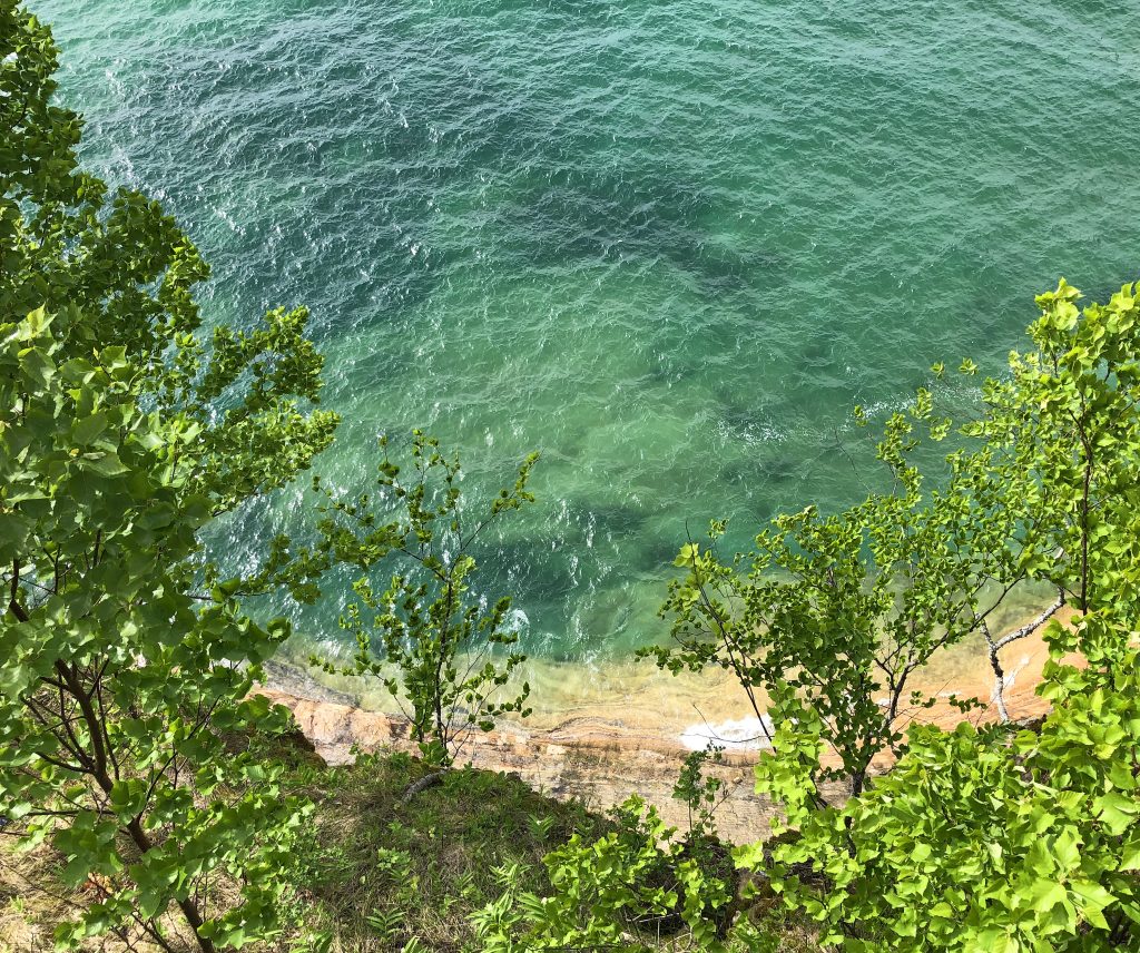
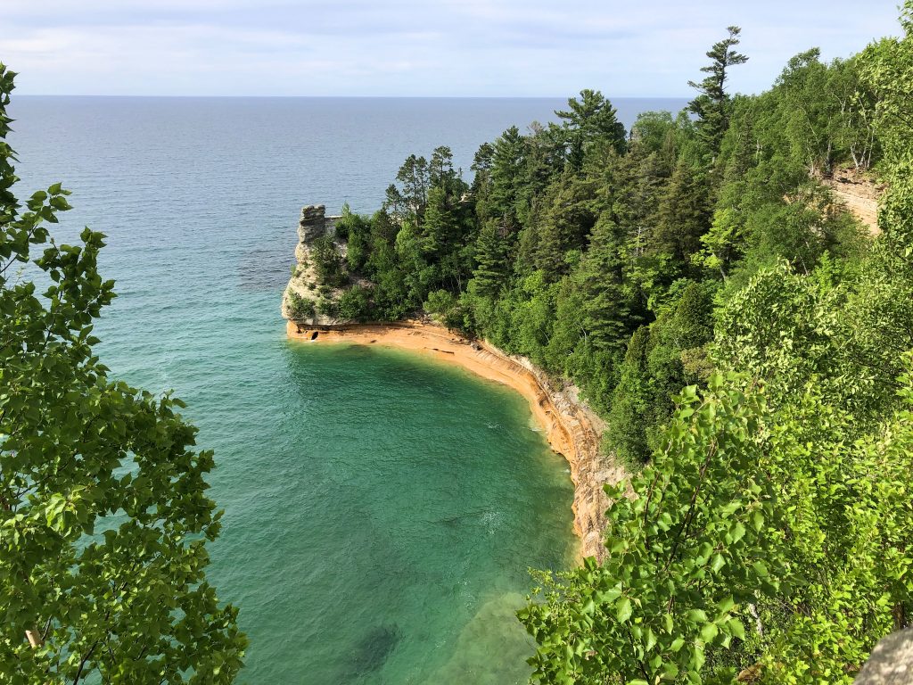
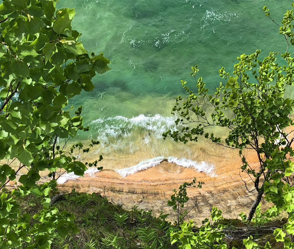
Then off to the right there is a small trail that takes you to Miners Castle. I took a few photos and then very much wanted to be back in the heat of my car. With the Miners Waterfall 2.5 mile hike, taking photos at different overlooks, The cliffs, and Miners Castle tiny hike, I was probably there about 2 1/2 hours. Very pretty area, but probably better for water loving peeps. However, I am very glad that I got to see it.
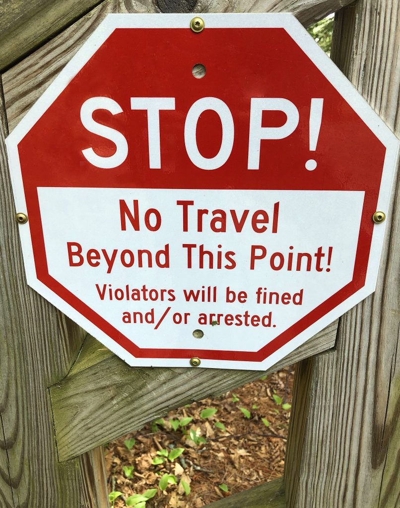
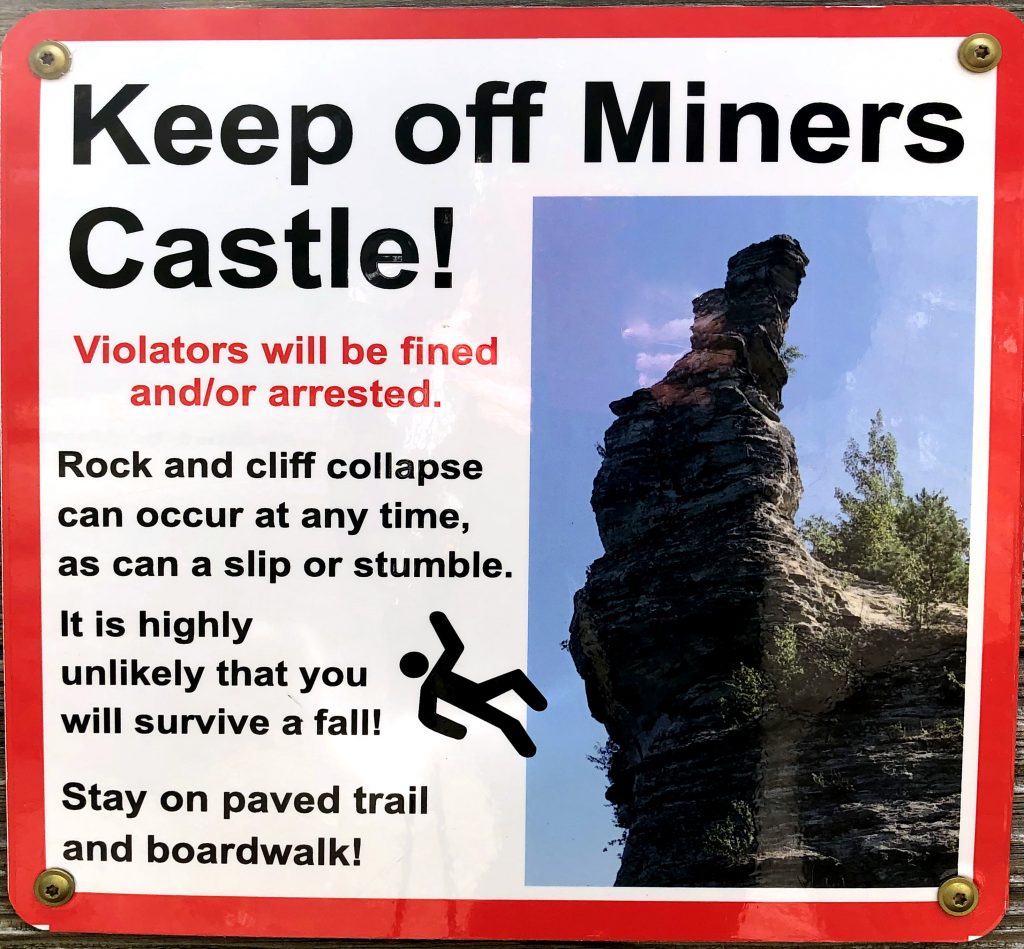
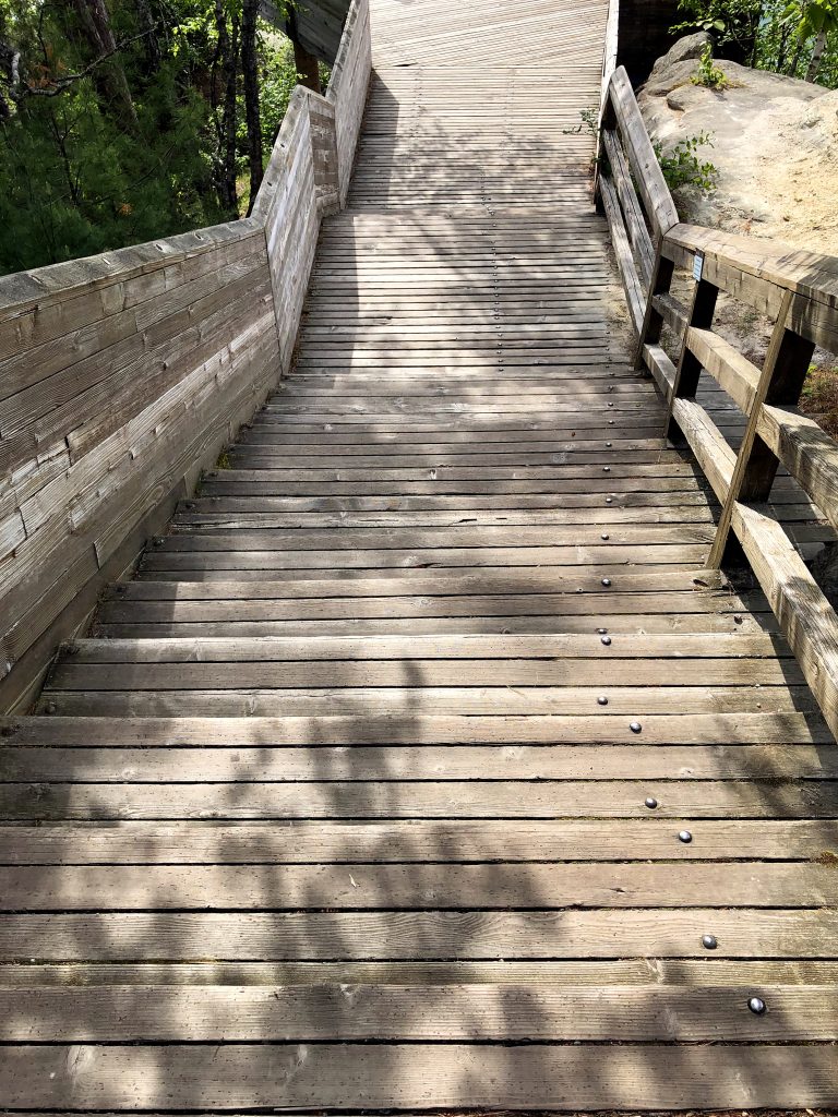
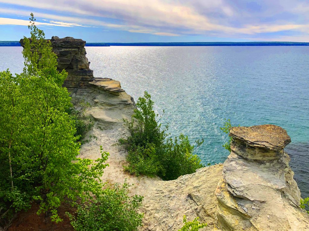
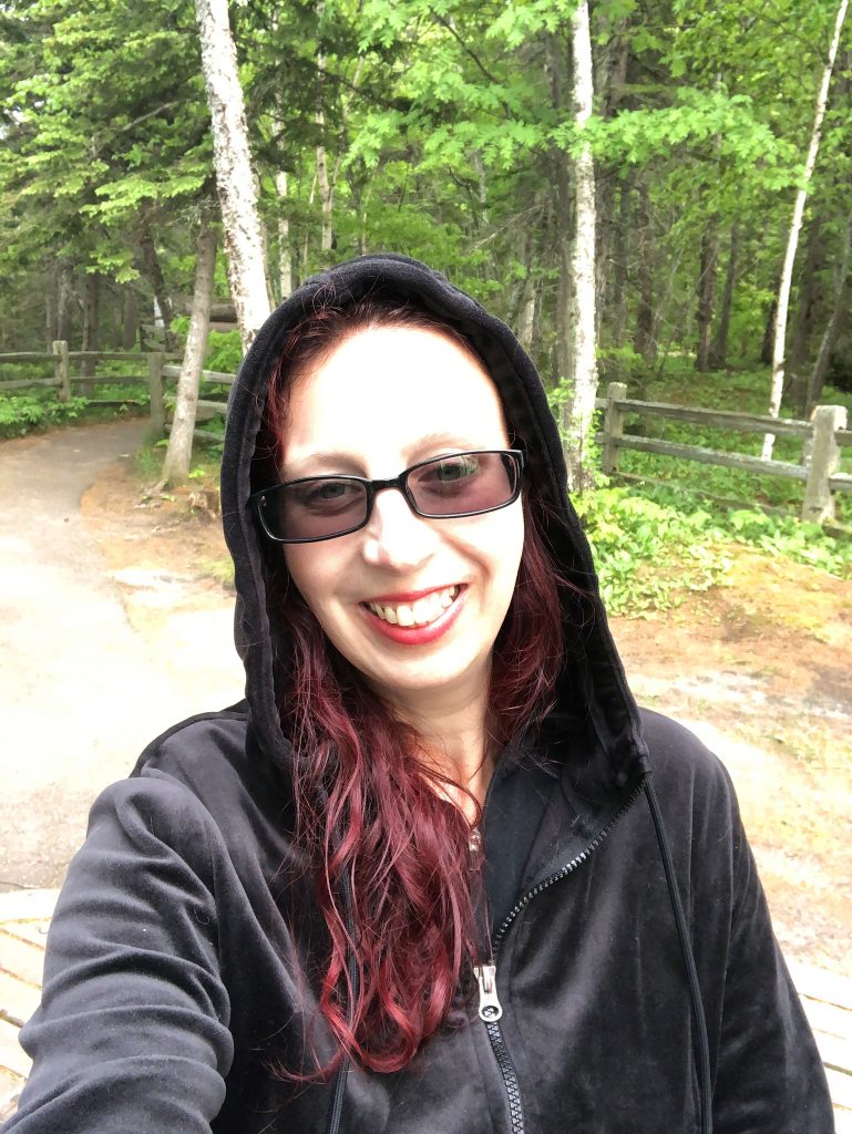
I drove about 2 more hours further South and found a motel. I was very sleepy from freezing and needed to find a warm place to crash. Right after passing the sign for Newberry, I found the Park-A-Way Motel / The Evening Star. The sign to the town says, “Moose capital of Michigan.” When I went inside to get a room, I asked the lady if there are really lots of Moose there because I had been in many very remote areas and had not seen ONE. She said that she has lived there for 20 years and has only seen one Moose and it was far away. She said that the town should be known for Deer. I did see lots of those guys!
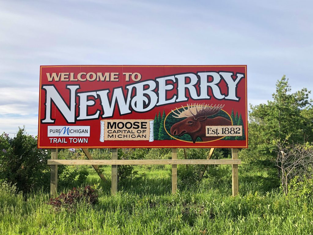
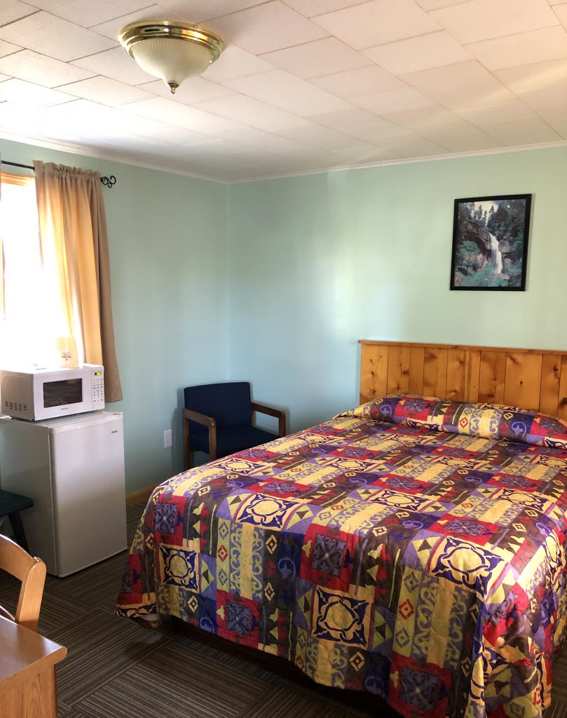
While traveling through these 5 states, I saw so many Moose sculptures, business card holders, photos, cards, books, and billboards and yet, none of these states that have all these Moose promotions, actually have many Moose. ![]() I’ve lived in Alaska where all the moose advertisements are actually true. Anyways, I was very happy to be in a warm room with the heat on. I LOVE my hammock set-up, but I needed good sleep for the many hours I had left until home. I fell asleep excited to see my Gingi cat soon!
I’ve lived in Alaska where all the moose advertisements are actually true. Anyways, I was very happy to be in a warm room with the heat on. I LOVE my hammock set-up, but I needed good sleep for the many hours I had left until home. I fell asleep excited to see my Gingi cat soon!
RED’s log day 9, June 13th: I woke up at 8:30AM and by 10:30 I was already petting a black bear cub on his little head. That’s right! My friend told me to check out the Oswald’s Bear Ranch and told me that I could pet a bear cub and that’s all I needed to hear. So, I had found that motel 10 minutes away! I wanted to hug him forever, but they had a huge family waiting to pet a baby!!! They all had matching shirts, “Mama bear, Papa Bear, baby bear, and the kids were yearlings”.
Yep.
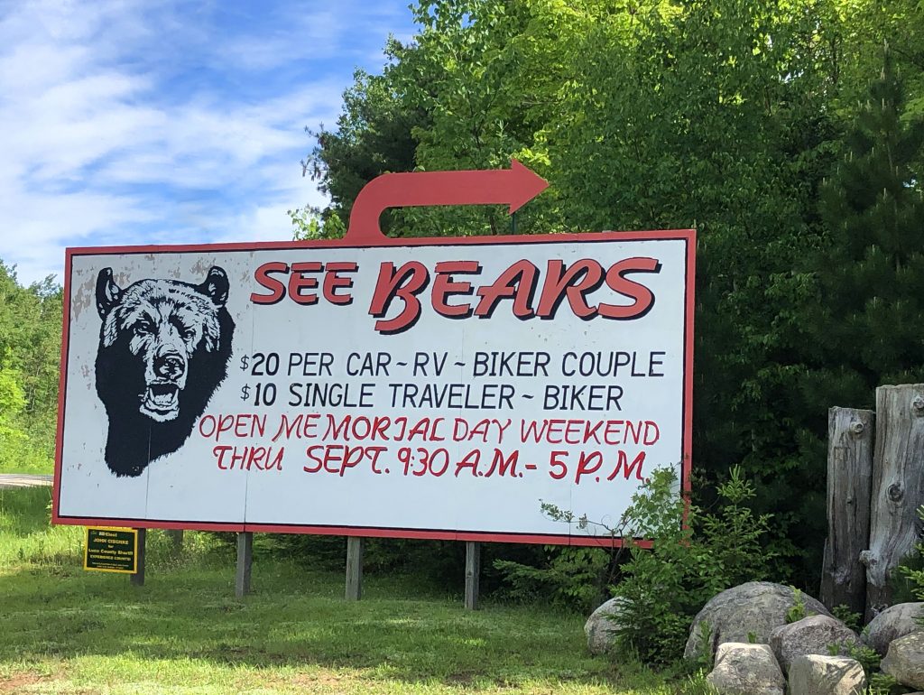
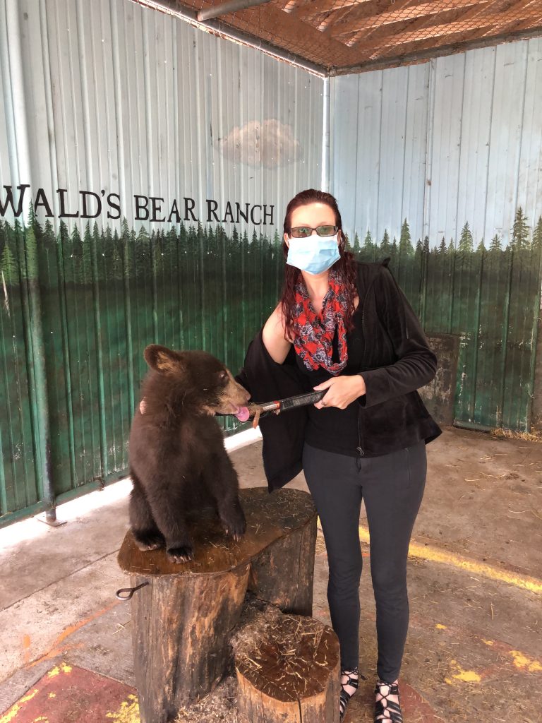
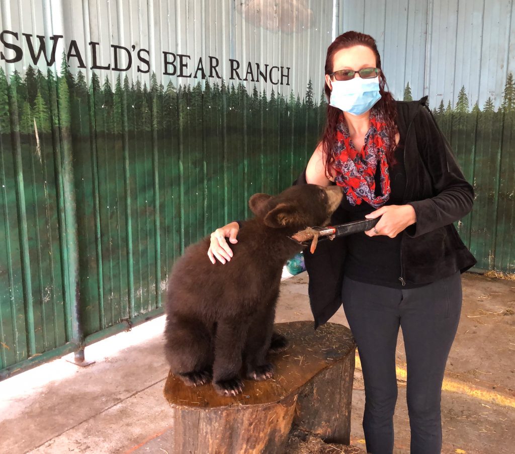
The cubs look so soft, but they are more coarse, but not as coarse as polar bear fur. Ha, I have a Christmas ornament made out of Polar Bear fur from my time in Alaska. Their hairs are transparent and hollow to keep them insulated. Anyways, I got completely lost watching the yearlings and the Cubs wrestle around! They play fight rough! They keep them separated by sex and age. They have a “Female” pen, “Yearlings”, “Cubs”, and “Males.” So, I just kept going back and forth between the most active ones. Sooooo cute! Their little grunts and sounds are so adorably, fierce. Seriously, time stopped when I was watching them and I studied their every move. I adore those completely zoned out moments of zen.
I left the bears shortly after my phone died. I was happy that I had enough battery for the cub photo even though it’s a lame photo. Their rules were that you have to wear a mask, even though all of the pens were outside and they were not crowded. But what was lame was that mask had to stay on in the photo. What?! Dude taking the photo was more than 6 feet away, but I paid for it just to pet the baby Black Bear. After spending a crazy amount of time in their gift shop, I charged up my phone and put Presque Isle in my GPS. It was about 2.5 hours away and there I would find lunch/dinner.
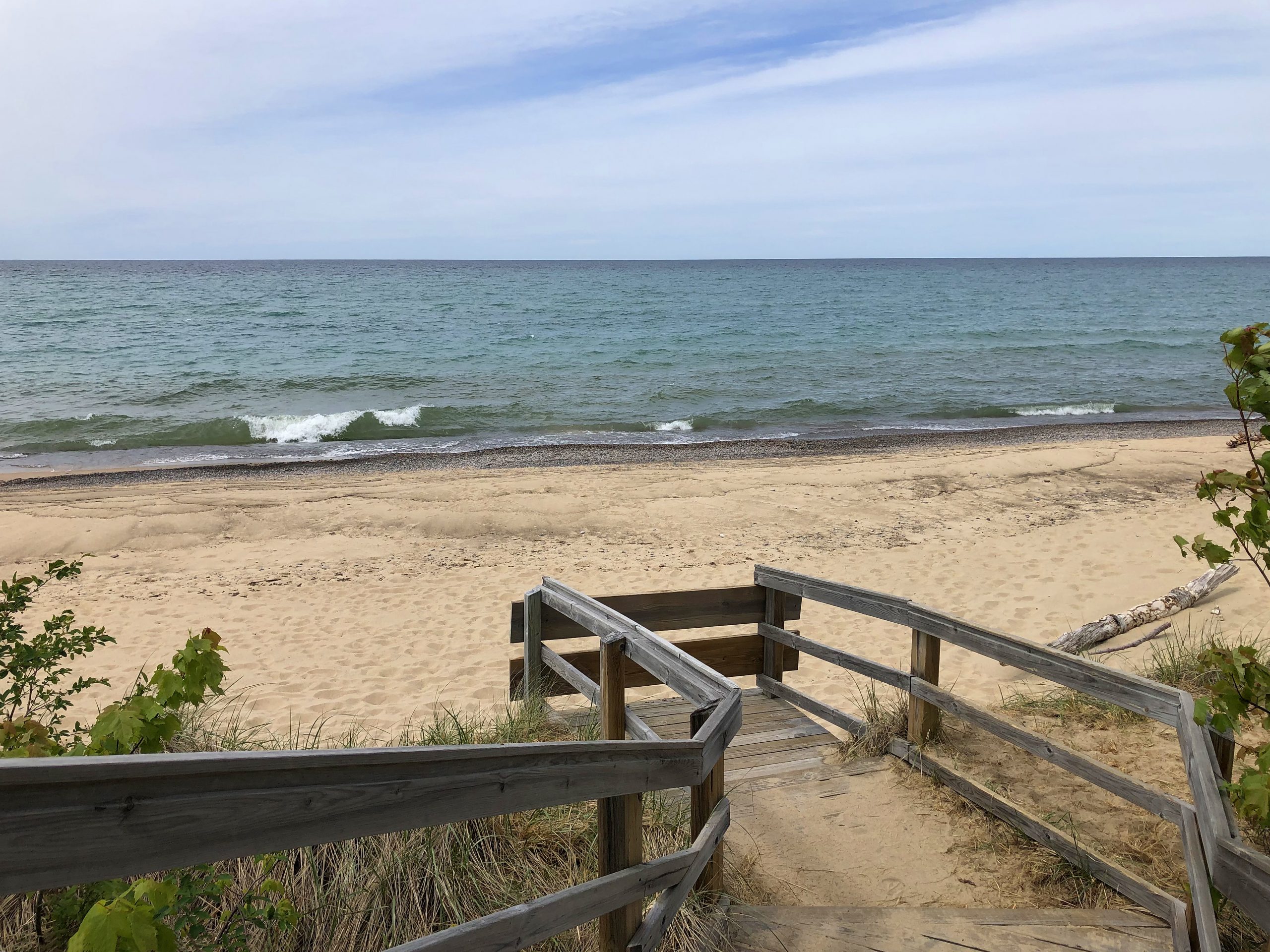
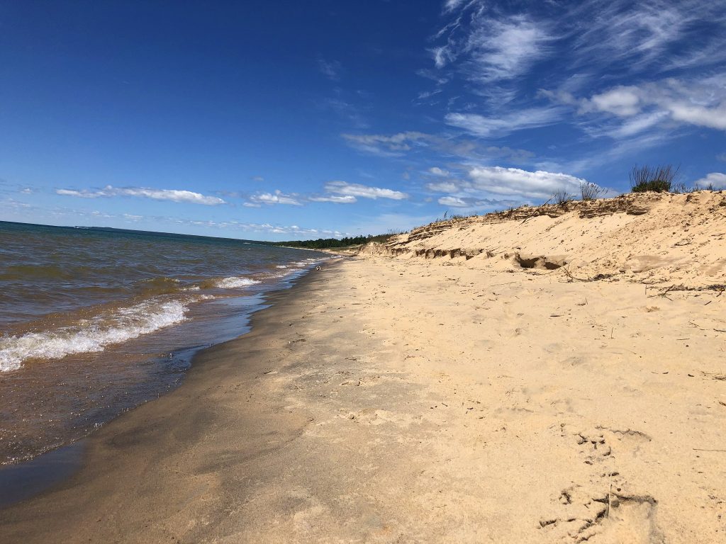
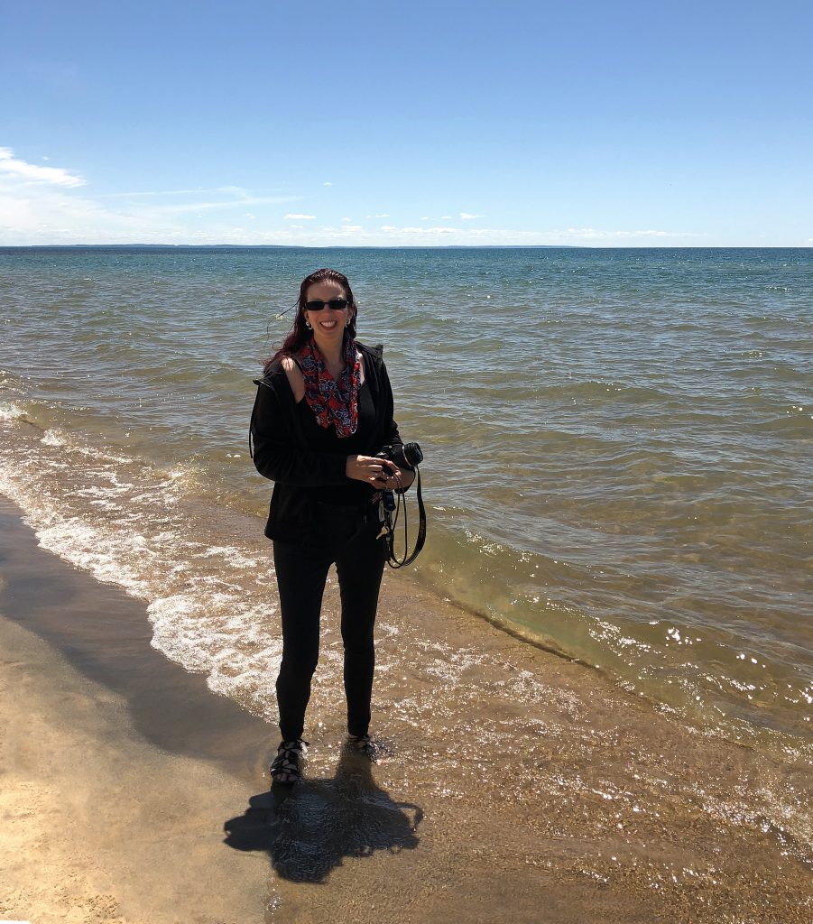
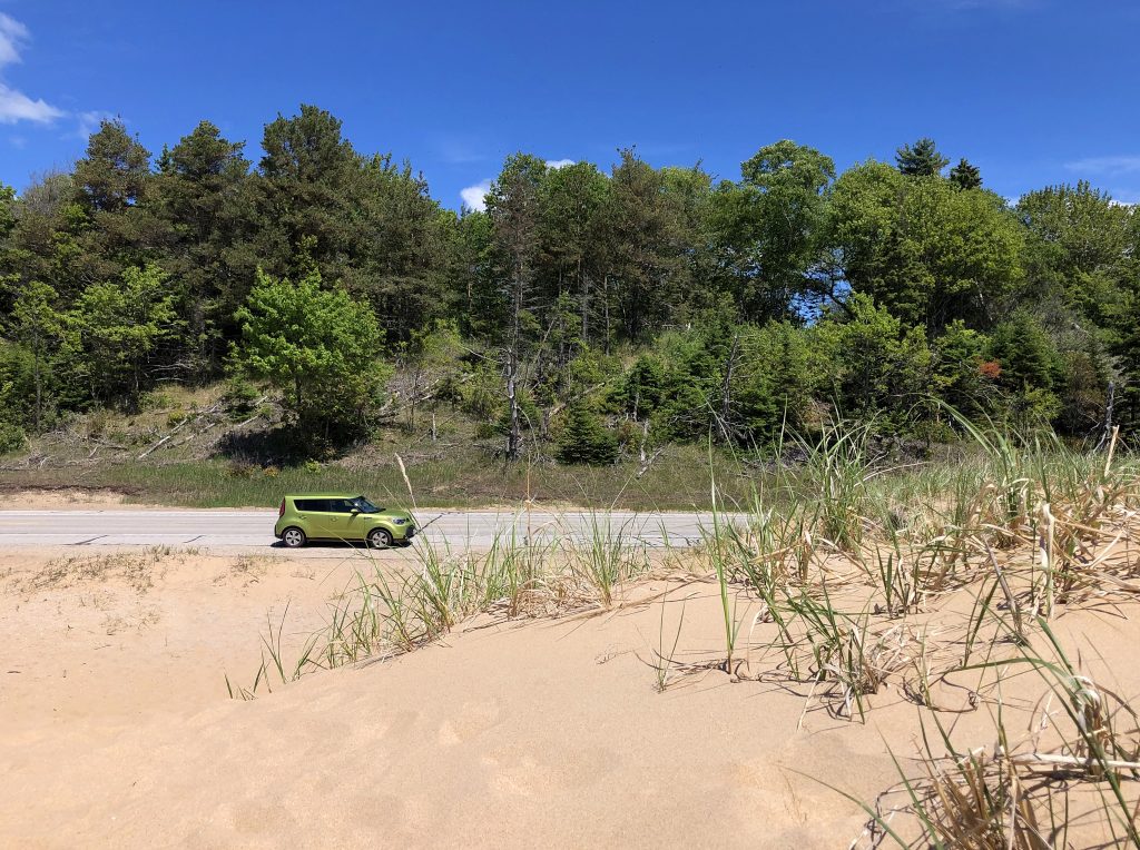
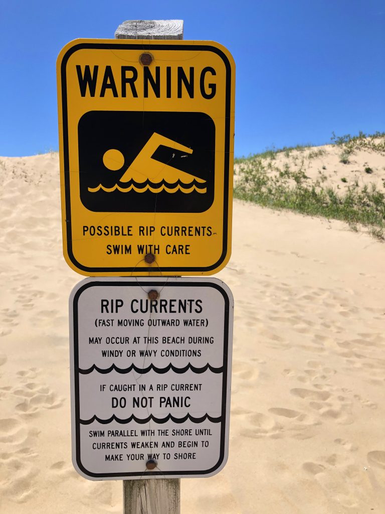
I was so tired of eating car snacks, but I drove by a beautiful scene that made me stop en route about a half hour from the Isle. Right on the beautiful Lake Michigan coastline (I think this is my favorite of the Great Lakes), there were big sand dunes right along US-2. I parked my car by others right on the side of the road and walked over the sand dunes to the lake shore. What a beautiful find! It was a Saturday, so there was a family picnicking by the water. It looked like such a secret little spot, hidden from the road by the dunes and only a water view in the front. It was very unlike the Florida beaches that I’m used too. No oversized condos lining the coast, no volleyball nets, no Tiki bars, and not overly crowded with people and beach habitats. Perfect. The family asked me if I could take their photo in front of the water, so then I asked if they could take one of me. I went right up to the water’s edge because I wanted to dip my toes in, slightly. Mid-photo taking, a big wave came up and drenched my feet, ankles, and calves. I squealed so loud! It was super, crazy, alarmingly cold. But, at least I can say that I was in Lake Michigan…for a second. I enjoyed the view for a moment and walked and sunk in a bunch of sand dunes and then I was back on my way.
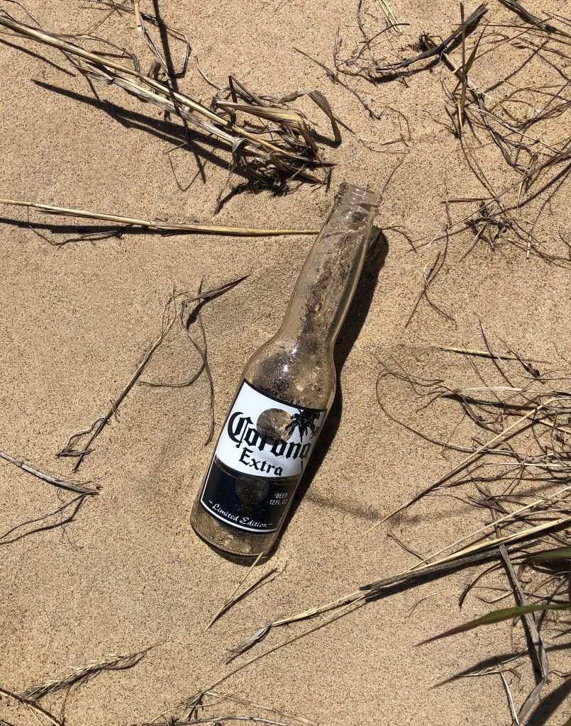
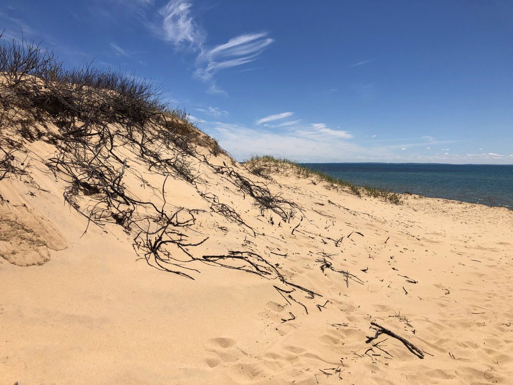
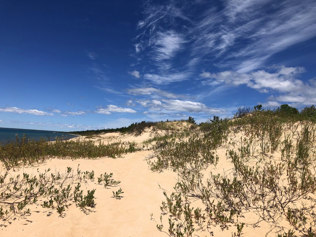
I guess it should be expected that in order to visit an “Isle”, one must cross a bridge, but did it have to be a scary high and super long bridge!? Um, no. I did not like that.
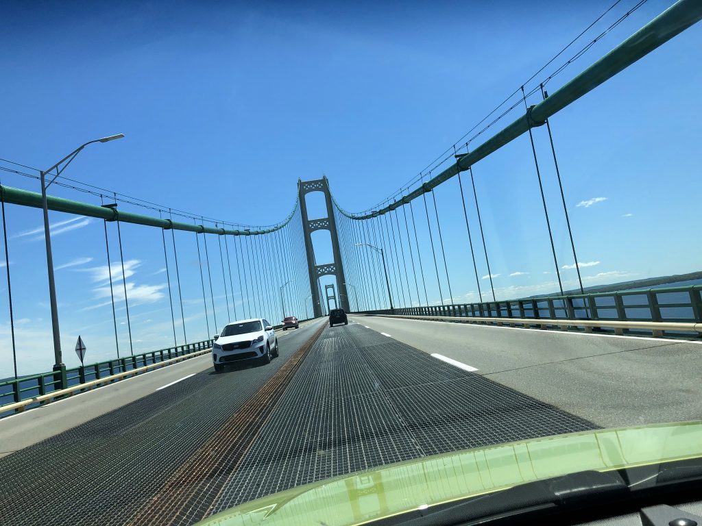
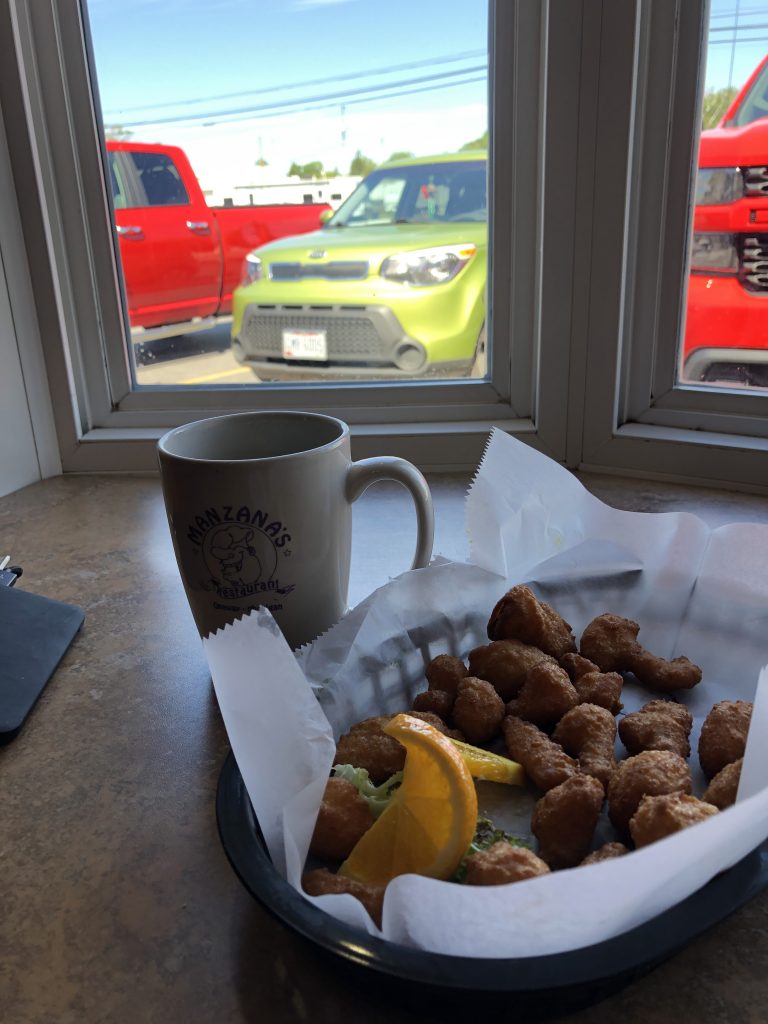
An hour and half after the scary Mackinac Bridge, I was in Onaway. About 4pm, I finally found Manzana’s Restaurant. It was a rare find. A place that is not seafood (or bar-b-que) on the water. That meal was breakfast, lunch and dinner for me, so I filled up and drank a bunch of coffee. I decided to push for home after eating. I asked my sweet waitress if she new a lighthouse nearby that I could photograph or one last thing to see before leaving the area. She said there were 2 lighthouses; a new one and the old one, but they were further away than I felt like going at the moment. I was winding down and just wanted to be home with my kitty.
As I was in my car plugging “Home” into my GPS, the waitress came out and ran up to my window. With her note pad in hand, she said that she thought of one last quick thing that I should check-out. She wrote down the name, “Ocqueoc Falls” and said that it was only a 15 minute drive away and she couldn’t believe she forgot to mention that before. I thought that was very nice of her. I thanked her and said, that that sounded like a perfect way to end my trip. I changed my GPS entry to, “Ocqueoc Falls” and I was off.
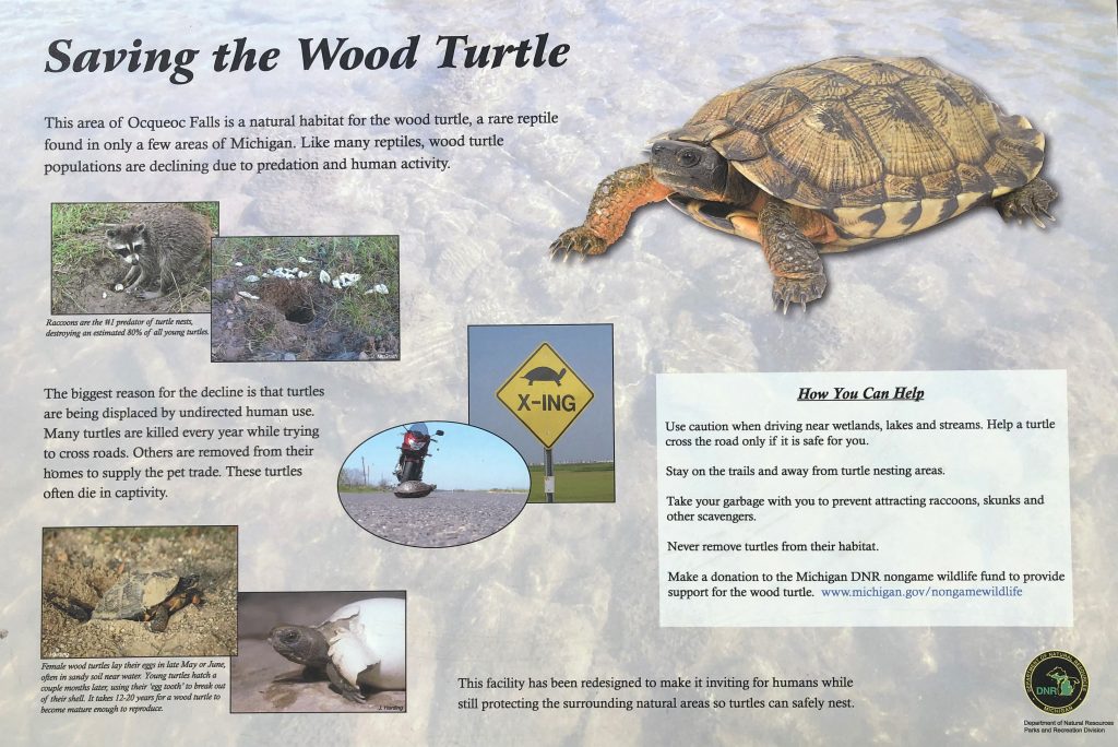
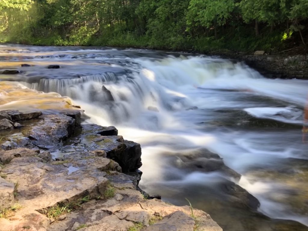
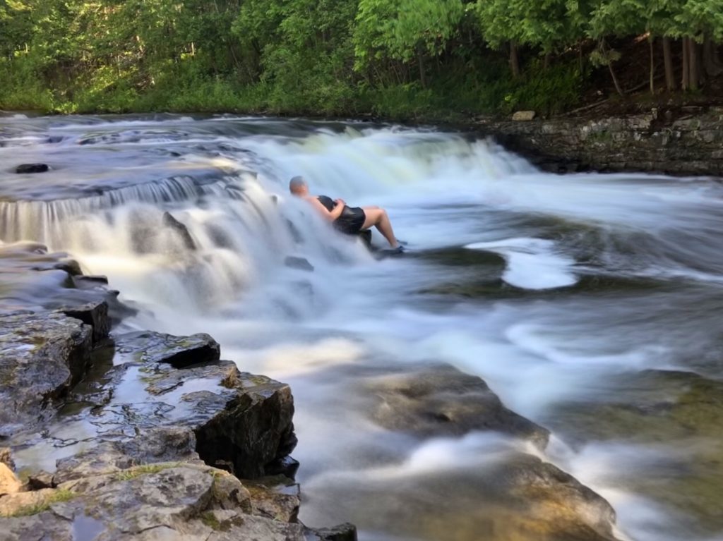
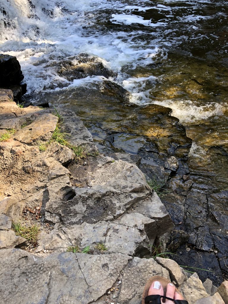
It was a tiny, paved walk to the falls and I actually said, “Wow” when I saw it. It wasn’t tallest or something you would see on the travel channel, but it was exactly what I needed. Ocqueoc Falls was probably the most crowed place I had hung out at on the entire trip. It seemed to be the perfect place for families to bring all their little ones adorned with water wings and water shoes. So cute and such a pretty, perfect day! I sat down by the water and people watched everyone. I was astounded that they were actually in the water seeing how I was freezing just sitting on the shore. Ha, the crazy tourist looking in on everyone’s family fun, shrouded in a black hoodie and alone. I felt peace. I felt calm. I didn’t want to leave. But, I had to keep reminding myself that it was already 5:30 and I still had over 7 and a half hours of just driving time left. Also, all the water sounds made me have to pee something fierce.
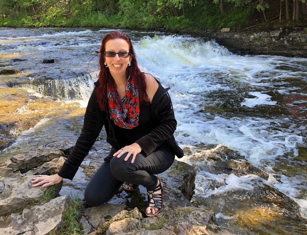
Upon leaving, I found a gas station to fill up and use the bathroom and I knew there were no more planned stops after that point. I was ready to be in my own bed with my sweet kitty.
I still can’t believe I blew through that many states and high points in a short time ALONE. It’s really hard to be able to search for gas stations, restaurants and places to stay for the night while still driving. Normally, I would ask Siri for help and when she sucked because of bad cell range (which was MOST of the trip) I would have to pull over when I had a little pocket of service. I’d look stuff up and wait forever because my phone was super slow with one bar, then get back on the road. I learned that I would basically have to memorize my route assuming that I would lose cell service. That saved me a quite a few times on this trip.
The hardest part of many of these high points that I did this time, was just finding them in the extremely remote locations and sometimes without cell service at all. That was a big challenge and also very nerve-racking. I had to make sure I always filled up my gas tank when I could, cleaned off the dead bugs so I could see again, and I needed to always have snacks with me, just in case. That also saved me several times. Since I went back and forth over the time change zone and often through different states in the same day, I would often ask Siri what state I was in. Haha! it got very Confusing at times.
It’s always more intimidating to travel alone anyways, but to travel alone to some very remote places… And then lose cell service… I can’t even tell you what that does to you on enduring dirt roads. To experience the miles and miles of dirt roads with nothing but trees…you start thinking, “do I have enough gas to make it to where I have cell service again? Am I going further into nothingness or am I heading towards civilization? Am I going to find a place to sleep tonight? Am I going to find a place to eat before everything closes in this small town?” I ended up talking to my EverWalk Nation group of virtual walking ladies quite a bit on this trip. It made me feel less alone. But I was alone and when I didn’t have cell service… I only had myself to get safely to my next spot.
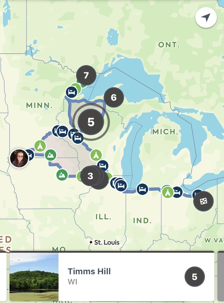
It was most definitely an adventure! My favorite high points in order (from this trip): Minnesota’s Eagle Mountain, Michigan’s Mt. Avron, Illinois’s Charles mound, Iowa’s Hawkeye Point and then Wisconsin’s Timm’s Hill. Minnesota’s and Michigan’s were the most difficult physically and the most miles. I was always on the go! I stayed at 3 campgrounds, 3 rest stops, 2 motels and one cabin. I drove through 6 states (not counting Ohio) and did 5 high points (I already previously did Indiana and Ohio). The first day of my trip was 11 hours of driving, day 2; I did 2 high points, day 3 and 4, I did one high point each, day 5; lots of driving and last, but not least was my last high point and my favorite one on day 6. My Northernmost state was Minnesota (just a few miles from the Canadian border). My most western spot was Iowa’s high point allll the way North West of the state. According to my Roadtripper’s app, I did 3,030 miles and driving time was 57:25 hours. That number does not count all of the getting lost, backtracking and additional driving around site seeing.
I had the best time, but it was good to come home and hold my sweet Gingi cat again. Upon returning home, so many women asked me how come I’m not fearful of traveling alone as a woman. As you can see, sometimes it can be scary, but I won’t let fear of the unknown keep me away from exploring and challenging myself. I recommend to any women thinking of solo traveling, to just do it! It makes one feel pretty badass, strong and self reliant.
👩🏻🦰🚗⛰🦊🦌🤳🏻
Please comment, subscribe, and share if you liked this or want to ask me a question.
If you like my work, please visit My Pateron Page and consider becoming a Patron. Thanks so much!

Wonderful!! It makes me excited to get out and travel again!! I also spotted some familiar places and got a little misty eyed. This whole blog really captured your trip. The photos are so vibrant and fun. The writing informative and also very witty.
I quite enjoyed reading about your recent high point climbs on this toad trip. It makes me want to climb a mountain!!
Awww! Thanks for the nice comments!